
Baldwinville, Mass, 1886
Baldwinville’s story
Baldwinville in pictures
Census counts: 1,852 in 2000, 2,117 in 2020. The archive holds 6 old photos and papers going back to 1886 and 7 maps from 1887 on.
Explore the history →Each edition grades its towns against each other only.
Home to 2,528 people, this town lies in Massachusetts.
No town among the 284 in Massachusetts we compare has a lower share of working residents who work in town than Baldwinville. Baldwinville’s trail network density is 2.0 miles per square mile, against 1.8 in Massachusetts’ towns and 0.4 across U.S. towns. Birch Hill Reservoir Area, at 538 acres with 4 miles of trail, is the biggest park or preserve. We don’t grade Baldwinville yet; the figures below are still real.
Where Baldwinville’s working residents go each day. Line width shows the share.
Census LEHD 2023
Census counts: 1,852 in 2000, 2,117 in 2020. The archive holds 6 old photos and papers going back to 1886 and 7 maps from 1887 on.
Explore the history →Baldwinville is unincorporated, so Worcester County and regional agencies provide most services.
EPA SDWIS (Oct 9, 2026) · HIFLD + EIA-861 2025 · Census 2020 ZCTAs · NCES 2024–25 · registration: vote.gov, updated Nov 18, 2024.
Ordered by what stands out in Baldwinville.
The top destinations are Gardner (12%), Templeton (9%) and Worcester (6%). Baldwinville: 18% of residents live below the poverty line. The median commute is under 24 miles.
| Baldwinville | Massachusetts towns | U.S. towns | |
|---|---|---|---|
| Below the poverty line | 18% | 6% | 9.6% |
| Median household income | $52,000 | $120,000 | $80,000 |
| Average trip to work | 24 minutes | 30 minutes | 25 minutes |
Census LEHD 2023 · ACS
For Baldwinville, the FEMA risk score is 27 of 100. 59% of the town’s expected losses from natural hazards come from inland flooding, followed by hurricanes at 17%. Expected storm and flood damage is lower than in 73% of U.S. communities.
FEMA National Risk Index · OpenFEMA
A winter brings about 51 inches of snow, with January nights at 14° and July afternoons at 81°.
NOAA U.S. Climate Normals, 1991–2020
5.1% of adults 18 to 64 have no health insurance in Baldwinville. Among adults locally, 16% report frequent physical distress and 19% report frequent mental distress.
| Baldwinville | Massachusetts towns | U.S. towns | |
|---|---|---|---|
| Depression (CDC PLACES) | 28% | 24% | 23% |
| Frequent physical distress (CDC PLACES) | 16% | 12% | 14% |
| Frequent mental distress (CDC PLACES) | 19% | 16% | 17% |
| Feel lonely (CDC PLACES) | 35% | 33% | 33% |
| What stands out | Baldwinville | MA |
|---|---|---|
| More adults with COPD | 8.4% | 5.9% |
| More smokers | 14.7% | 11.3% |
| More adults with heart disease | 7.5% | 5.8% |
CDC PLACES 2025 · modeled estimates for adults · CMS · HRSA
In 4 parks and preserves, walkers have 5.2 miles of trail. Parks and preserves in Baldwinville: 4, covering 589 acres.
| Biggest places to walk | Trails | Acres |
|---|---|---|
| 1. Birch Hill Reservoir Area | 4 mi | 538 |
| 2. Gilman Waite Field | 0.7 mi | 20 |
| 3. So Main St Conservation Area | 0.1 mi | 17 |
Trails & parks © OpenStreetMap contributors · Conserved land: USGS PAD-US
The share of households in Baldwinville who are owner-occupiers: 78%.
Census ACS, 2020–24 · Zillow Home Value Index · Redfin Data Center
Museums, parks, gardens and other places to visit around Baldwinville. Close and well known come first.
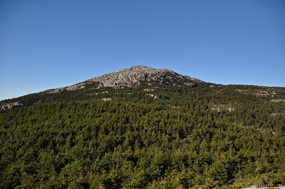 18 mi MountainMount Monadnock
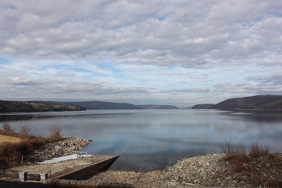 20 mi LakeQuabbin Reservoir
 39 mi LakeWalden Pond
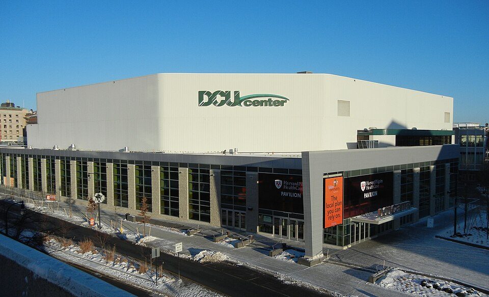 28 mi Stadium & arenaDCU Center
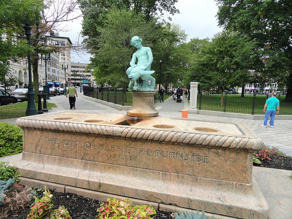 28 mi LandmarkBurnside Fountain
 32 mi MuseumAmerican Heritage Museum
Mount Monadnock: Jonwmcinenrey, CC BY-SA 4.0 · Quabbin Reservoir: engineerchange, CC BY 2.0 · Walden Pond: Victorgrigas, CC BY-SA 3.0 · DCU Center: Terageorge, CC BY-SA 3.0 · Burnside Fountain: Daderot, CC0 · American Heritage Museum: Daderot, CC0
3 within 15 miles of the center of Baldwinville
About 1 of every 100 Baldwinville residents are enrolled in college, against 8 across Massachusetts.
CDP in Massachusetts, United States
Baldwinville is an unincorporated village and census-designated place (CDP) in the town of Templeton in Worcester County, Massachusetts, United States. As of the 2020 census, Baldwinville had a population of 2,117. The name also refers to the local post office or railroad station.
From Wikipedia, licensed CC BY-SA 4.0 · facts via Wikidata (CC0)
Short answers, built from the data on this page.
We don’t grade Baldwinville yet; the figures below are still real.


