169 years in pictures
Census counts: 5,514 in 2000, 6,433 in 2020. The archive holds 12 old photos and papers going back to 1769 and 6 maps from 1939 on.
3 places on the National Register of Historic Places.
- 1857St. Gabriel is settled
Each edition grades its towns against each other only.

A town of 6,987, settled in 1857. A regional job hub with 3,318 jobs.
St. Gabriel grades C overall, ranked 85th of 161 in Louisiana, with clear strengths and some subjects that lag. On the other side, FEMA rates its natural-hazard risk higher than 86% of U.S. communities, with hurricanes at the top. It also does better than most on schools: its schools rank ahead of 72% of Louisiana towns. Its lowest everyday mark is in health: CDC estimates put its residents' health behind 79% of the country. 12% of residents are under 18 in St. Gabriel, below both the Louisiana town median (24%) and the median of U.S. towns (22%). St. Gabriel's civic life (library use, community groups, volunteering) trails 90% of U.S. towns. St. Gabriel has 3 places on the National Register of Historic Places, among them Carville Historic District and St. Gabriel Roman Catholic Church.
Where St. Gabriel beats most towns, and one thing worth knowing.
| School | Grades | Students |
|---|---|---|
| East Iberville Elementary/High School | PK–12 | 727 |
Where St. Gabriel’s working residents go each day. Line width shows the share.
Census LEHD 2023
Each subject compared with towns across the country (schools within Louisiana), ordered by how far St. Gabriel is from typical.
How TownRatings grades towns →
Census counts: 5,514 in 2000, 6,433 in 2020. The archive holds 12 old photos and papers going back to 1769 and 6 maps from 1939 on.
3 places on the National Register of Historic Places.
Museums, parks, gardens and other places to visit around St. Gabriel. Close and well known come first.
12 mi Stadium & arenaTiger Stadium
14 mi MuseumUSS Kidd
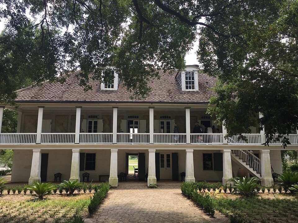
31 mi MuseumWhitney Plantation Historic District
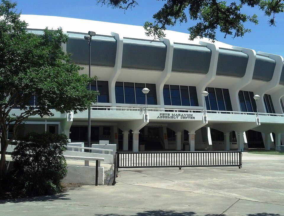
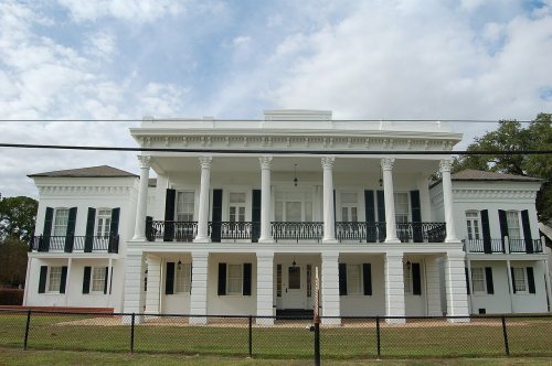
12 mi Stadium & arenaPete Maravich Assembly Center8 mi Theme parkBlue Bayou and Dixie Landin'11 mi MuseumLSU Rural Life MuseumTiger Stadium: Daniel Foster, CC BY-SA 2.0 · USS Kidd: Cobatfor, CC BY-SA 3.0 · Whitney Plantation Historic District: Bill Leiser, CC BY-SA 4.0 · Pete Maravich Assembly Center: Spatms, CC BY-SA 3.0
Who provides power, water and the rest in St. Gabriel, and how to reach them.
EPA SDWIS (Oct 9, 2026) · HIFLD + EIA-861 2025 · Census 2020 ZCTAs · NCES 2024–25 · registration: vote.gov, updated Aug 3, 2026.
Ordered by what stands out in St. Gabriel.
St. Gabriel draws workers from Baton Rouge and beyond, has a longer frost-free season than nearly all U.S. towns and looks healthier within Louisiana than nationally.
3,318 jobs are based in St. Gabriel, 1.8 for every working resident, so most of the people who work here commute in.
Most working residents leave St. 18% of residents live below the poverty line in St. Gabriel. Gabriel for work: only 9% work in town.
| St. Gabriel | Louisiana towns | U.S. towns | |
|---|---|---|---|
| Below the poverty line | 18% | 20% | 9.6% |
| Average trip to work | 23 minutes | 25 minutes | 25 minutes |
| Median household income | $75,000 | $56,000 | $80,000 |
Census LEHD 2023 · ACS
Its public schools are run by the Iberville Parish school district. Its one school is below. The largest public high school is East Iberville Elementary/High School, with 727 students.
| School | Level | Students | Letter |
|---|---|---|---|
| East Iberville Elementary/High SchoolLargest public high schoolGrades PK–12 | Grades PK–12 | 727 | C+ |
NCES · EDFacts · graded within LA on state tests and graduation
15 miles of trail in 1 park or preserve. Among 123 Louisiana towns, just 8 have a higher share of conserved land than St. Gabriel.
| St. Gabriel | Louisiana towns | U.S. towns | |
|---|---|---|---|
| Conserved land | 8.1% | 1.2% | 4.3% |
| Miles of trail per square mile | 0.5 miles per square mile | 0.2 | 0.4 |
| Biggest places to walk | Trails | Acres |
|---|---|---|
| 1. St. Gabriel City Park | — | 13 |
Trails & parks © OpenStreetMap contributors · Conserved land: USGS PAD-US
Since 2016, 38 flood insurance claims have been paid out in St. Gabriel.
FEMA flood insurance claims · FEMA National Risk Index · OpenFEMA
Within Louisiana it is healthier than 68% of the 161 graded towns: much of Louisiana scores lower on these measures.
Only 4 of the 161 Louisiana towns we compare have a lower share of adults who have been diagnosed with depression than St. Gabriel. 39% of St. Gabriel adults have high blood pressure. Gabriel beats the Louisiana average on 5 of 32 CDC measures and trails it on 2.
| St. Gabriel | Louisiana towns | U.S. towns | |
|---|---|---|---|
| Binge drink (CDC PLACES) | 20% | 16% | 16% |
| Sleep under 7 hours (CDC PLACES) | 42% | 42% | 36% |
| High blood pressure (CDC PLACES) | 39% | 44% | 35% |
| Diabetes (CDC PLACES) | 14% | 16% | 12% |
| What stands out | St. Gabriel | LA |
|---|---|---|
| Fewer adults who have had cancer | 5.1% | 7.5% |
| Fewer adults with COPD | 6.3% | 8.5% |
| More adults lacking emotional support | 33.2% | 28.6% |
CDC PLACES 2025 · modeled estimates for adults · CMS · HRSA
St. Gabriel has grown 8.6% since 2020, to 6,987 residents in the Census Bureau’s 2025 estimate. Only 3 of the 161 Louisiana towns we compare have a lower share of residents 65 or older than St. Gabriel. St. Gabriel’s median age is 36.8 years.
| St. Gabriel | Louisiana towns | U.S. towns | |
|---|---|---|---|
| Aged 65 or older | 8.2% | 17% | 18% |
| Median age | 36.8 years | 37.9 years | 40.5 years |
35% women, 65% men
About 182 men for every 100 women (the survey’s margin: ±9.1 points). Across Louisiana, 51.1% of residents are women. Among residents 75 and older, 97% are men (LA 42%).
| St. Gabriel | LA | U.S. | |
|---|---|---|---|
| Under 10 | 6.4% | 12.6% | 11.6% |
| 10 to 17 | 5.7% | 10.9% | 10.3% |
| 18 to 24 | 12.9% | 9.1% | 9.1% |
| 25 to 34 | 22.8% | 13.3% | 13.7% |
| 35 to 44 | 18.7% | 13.3% | 13.2% |
| 45 to 54 | 12.9% | 11.5% | 12.2% |
| 55 to 64 | 12.4% | 12.6% | 12.7% |
| 65 to 74 | 6.9% | 10.2% | 10.2% |
| 75 and older | 1.3% | 6.5% | 7% |
| No diploma | 22.5% | 12.7% | 10.4% |
| High school | 32.6% | 32.5% | 26% |
| Some college | 9.7% | 20.4% | 19.1% |
| Associate’s | 10.8% | 7.3% | 8.8% |
| Bachelor’s | 16.2% | 17% | 21.6% |
| Graduate | 8.2% | 10.1% | 14.1% |
Census population estimates, 2025 · U.S. Census Bureau · ACS 2020-2024 5-year estimates
The median property tax bill is $2,189, against $1,180 across Louisiana, another input to its cost-of-living grade.
The typical St. Typical home values rose 4.4% in the year to September 2026. Gabriel home is worth about $272,000, up 4.4% in a year, 27% above the Louisiana typical home.
| St. Gabriel | Louisiana towns | U.S. towns | |
|---|---|---|---|
| Median rent | $1,017 a month | $989 a month | $1,185 a month |
| Households that own their home | 71% | 68% | 73% |
Zillow Home Value Index · Redfin Data Center
The Donaldsonville 4 Sw weather station, 13 miles away, records that the frost-free season runs about 291 days, longer than in 95% of U.S. towns. January nights average 41.5°, milder than in 95% of U.S. towns; July afternoons average 91.6°.
The January low in St. Gabriel is 42°F. Gabriel has warm winters and warm summers, with plenty of rain. The July high in St. Gabriel is 92°F.
| St. Gabriel | Louisiana towns | U.S. towns | |
|---|---|---|---|
| January low | 42°F | 42°F | 22°F |
| July high | 92°F | 92°F | 85°F |
NOAA U.S. Climate Normals, 1991–2020
5 within 15 miles of the center of St. Gabriel
About 6 of every 100 St. Gabriel residents are enrolled in college, about the same as Louisiana.
3 places in St. Gabriel on the National Register of Historic Places.
City in Louisiana, United States
St. Gabriel is a city in Iberville Parish, Louisiana, United States. The city of St. Gabriel includes the Carville neighborhood and portions of Sunshine. Part of the Baton Rouge metropolitan statistical area, it had a population of 6,677 at the 2010 U.S. census, and 6,433 at the 2020 census. St. Gabriel was incorporated as a town in 1994 and received city designation in 2001. It is located on the east bank of the Mississippi River, approximately 12 miles south of Baton Rouge. Bayou Manchac serves as the official boundary between St. Gabriel, Ascension Parish, and East Baton Rouge Parish. Over the years, the area has been transformed from a primarily agricultural economy to one that is now d…
From Wikipedia, licensed CC BY-SA 4.0 · facts via Wikidata (CC0)
One town shares a border with St. Gabriel.
| Town | LA rank | Overall | Cost | Safety | Schools | Health |
|---|---|---|---|---|---|---|
| St. Gabriel | #85 | C | B | — | B+ | C− |
| St. George | — | — | — | — | B− | — |
St. Gabriel and St. George report no FBI crime data of their own. St. George isn’t graded (fewer than 1,000 residents, or not enough data). Compare St. Gabriel with a neighbor →
Short answers, built from the data on this page.
St. Gabriel grades C overall, better than 27% of U.S. towns and #85 of 161 in Louisiana. It grades C− for health and B+ for schools. Hazard risk is its weak spot, with a D.
Cost of living, which also weighs rents, property taxes and how many households pay 30% or more of their income for housing, grades B.