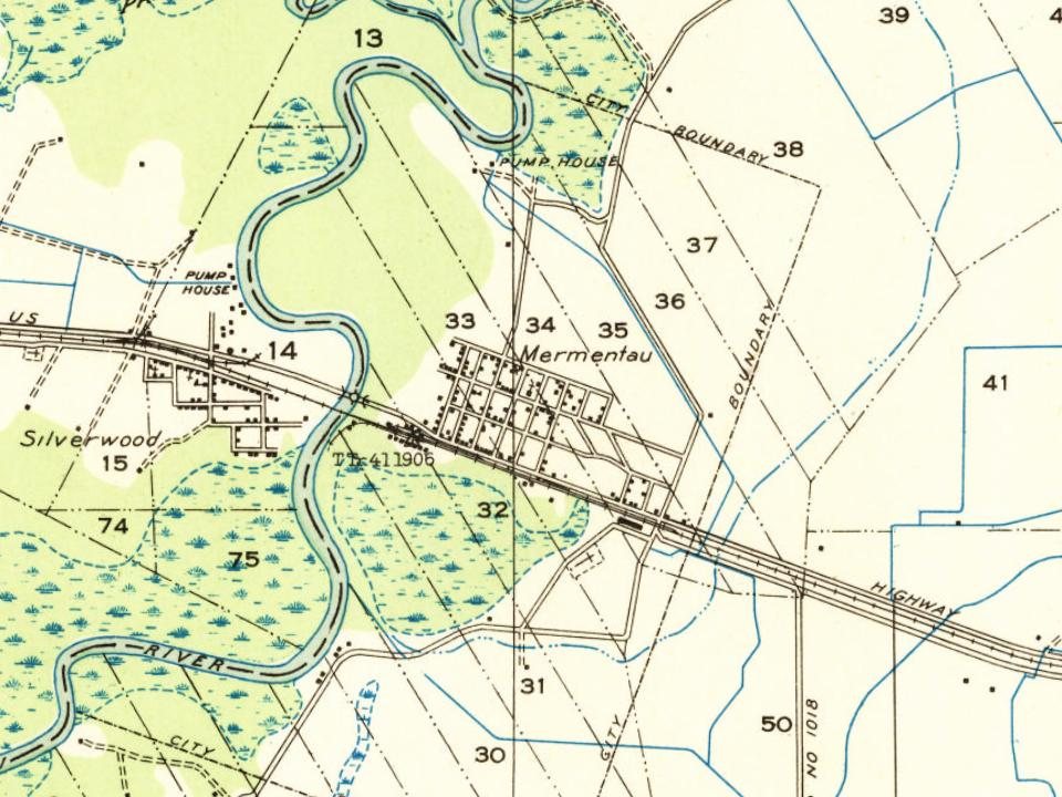
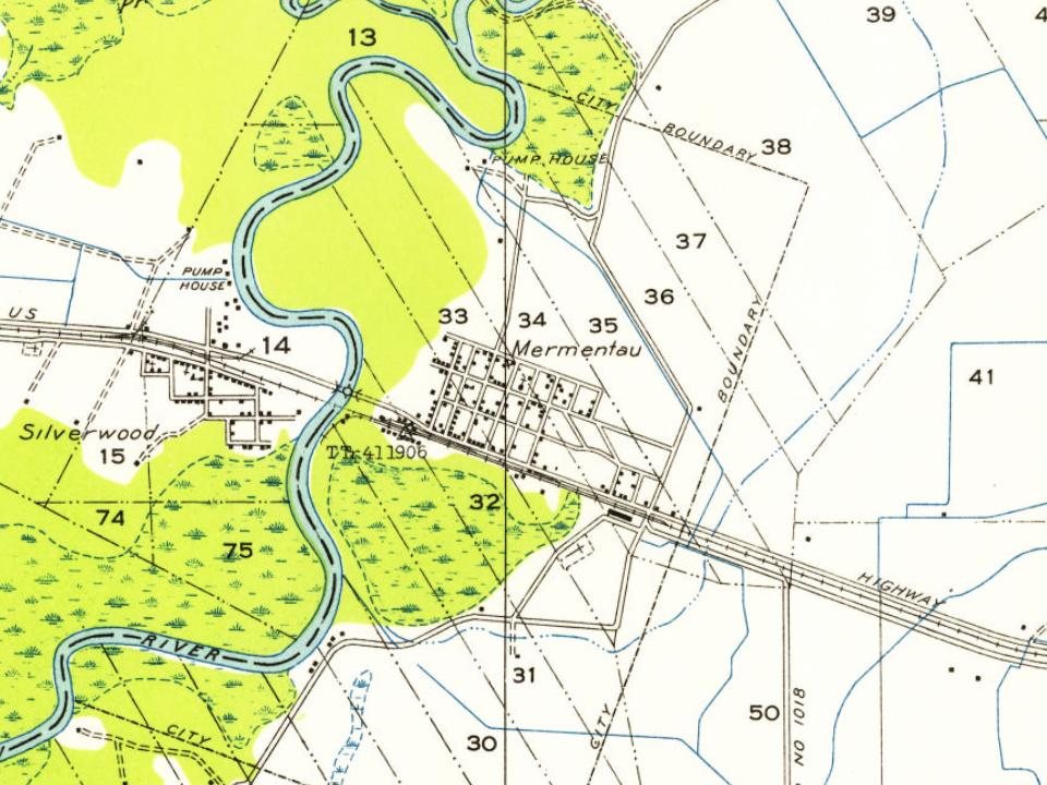
Most of Mermentau was built recently: 7% of its homes predate 1940 and the median home dates from 1958. Below: maps from 1946 on and the census since 1910.
In the last quarter of the 18th century, there was an Atakapa chief named Nementou. On April 16, 1784, he sold land on Bayou Plaquemine Brule to Antoin Blanc for $100. Nementou is later mentioned as chief of a village on a river with the same name. Eventually, through a clerical error, Nementou became Mementou and this was then corrupted into Mermentau through confusion with the French word mer, which means "sea".
The Mermentau area was once reputedly a refuge for smugglers. It was a crossing point for brave travelers on the Old Spanish Trail, but had such a bad reputation that until the Louisiana Purchase no one would go there to see how many people there were.
Founding dates: Wikidata, Wikipedia, the U.S. post office records of Blevins & Helbock (CC0) and the Census. Homes by year built: Census ACS 2020–24. National Register of Historic Places: National Park Service (list of May 22, 2026). Old photos, postcards and papers: Wikimedia Commons, the Library of Congress and other public archives, credited on each item’s page. Maps: U.S. Geological Survey historical topographic maps (via Esri) and Sanborn fire-insurance maps (Library of Congress). History text and census tables: Wikipedia (CC BY-SA 4.0). Places that used to be: USGS Geographic Names Information System (2021). How TownRatings grades history →
From Wikimedia Commons (1), Wikipedia, U.S. Geological Survey historical maps, U.S. Census counts (via Wikipedia), the US Post Offices dataset (Blevins & Helbock) and the USGS Geographic Names Information System. Archive images are copied here with their credits and licenses, shown on each photo’s page. Refreshed monthly.
 2004