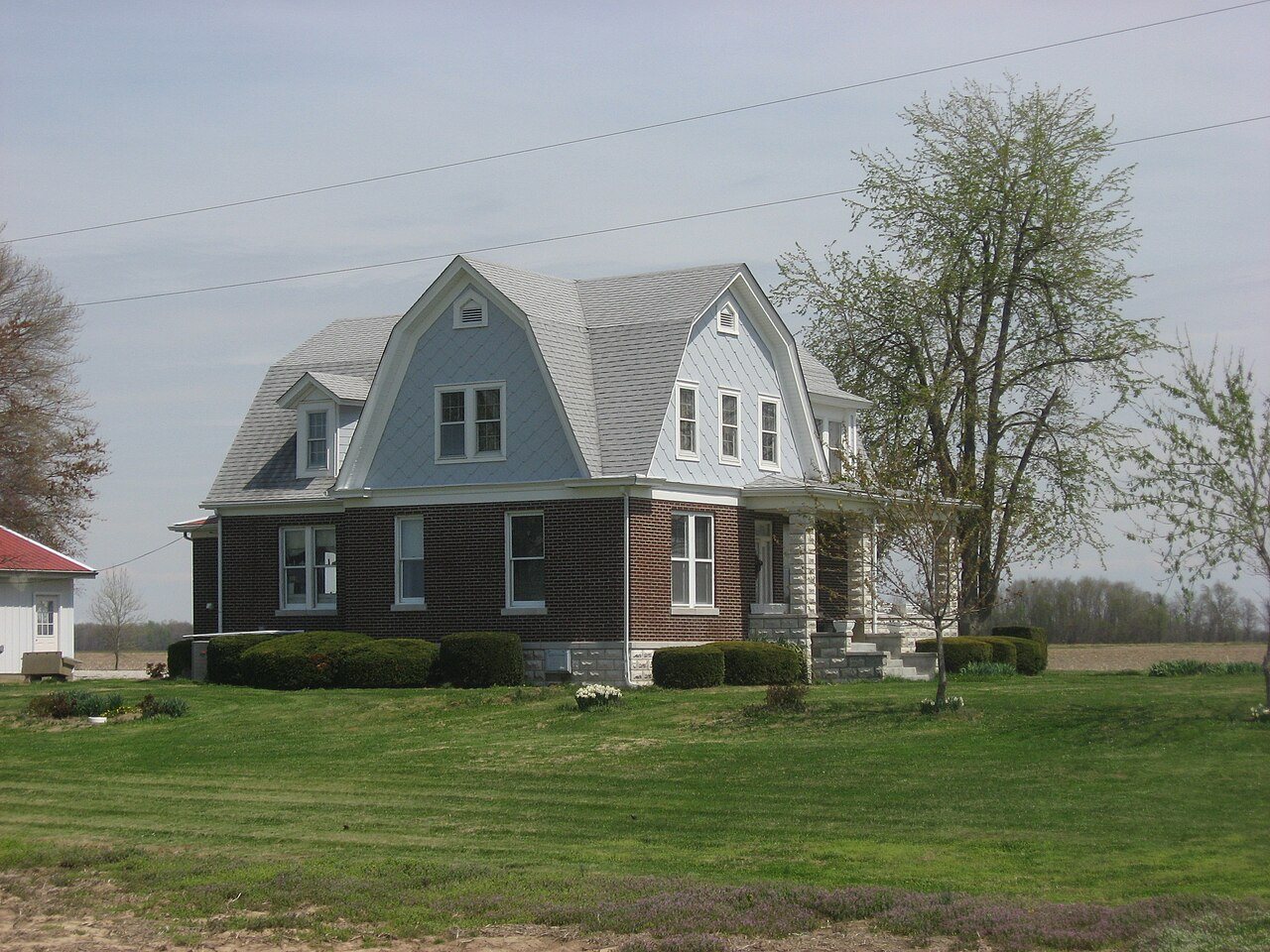
 Thomas Krahwinkel House · Photo: Nyttend · Public domain
Storms, floods and disasters in Stanley
Stanley isn’t graded for hazard risk: Stanley has 448 residents; we grade towns of 1,000 or more. Flood insurance has paid 24 claims here since 1997.
What Stanley faces
Each hazard’s share of the building damage FEMA expects here, and how its rate compares with the rest of the country.
River and rain flooding
Earthquakes
Shares are of FEMA’s expected building damage, the measure the grade uses; ranks compare each hazard’s building-damage rate with all 85,154 U.S. census tracts. In FEMA’s terms, river and rain flooding is FEMA’s “Inland Flooding” (rivers and streams overflowing their banks, or rain overwhelming drainage). FEMA defines coastal flooding as high or rising tides and storm surge, so surge damage is counted there. Drought isn’t listed: FEMA counts its losses in crops only.
Does Stanley flood? Sometimes: 24 flood claims since 1997
Every paid claim on a federal flood insurance policy in Stanley, from FEMA’s records.
- The Central U.S. April Flooding7 claims · $334K
- The Mid-spring storms4 claims · $100K
Stanley isn’t in FEMA’s Community Rating System, which cuts flood insurance up to 45% in towns that do extra flood-proofing.
Insurance rates: Daviess County.The storms Stanley remembers
None of the 14 disasters declared for Daviess County shows FEMA aid or repair money reaching Stanley itself in FEMA’s records, so these are its biggest flood-claim years.
- 19979 flood claims paidThe year of Severe Storm, Flooding, and Tornadoes, declared for Daviess County
- 20257 flood claims paidThe year of Severe Storms, Straight-line Winds, Tornadoes, Flooding, Landslides, and Mudslides, declared for Daviess County
- 20114 flood claims paidThe year of Severe Storms, Tornadoes, and Flooding, declared for Daviess County
Daviess County has had 14 natural disasters declared by the President since 1953, most often severe storms, then winter storms. Not counted: the 2005 Hurricane Katrina evacuee emergency, which covered counties that took in evacuees.
Old photos of Stanley after a storm or flood belong in the town’s history. Add one, or share what you remember below.
Add to the Stanley archive →Get ready for what Stanley faces
A short kit for the hazards that drive the building damage here, what to check before you buy, and where neighbors get alerts.
- Turn around at flooded roads: a foot of moving water can carry off a car.
- Flood insurance usually takes 30 days to start, so buy it before the forecast.
- Keep papers and medicines up high, in a grab-and-go bag.
- Drop, cover and hold on.
- Strap tall furniture and the water heater to the wall.
- Know how to shut off the gas.
- Look up the address on FEMA’s flood map.
- Ask the seller or landlord whether it has ever flooded, and what flood insurance costs there.
- Get a flood insurance quote early: policies usually start 30 days after you buy.
Know where neighbors sign up for alerts? Add it to the Handbook so everyone has it.
Questions about natural hazards in Stanley
Does Stanley flood?
Flood insurance has paid 24 claims in Stanley since 1997, $628K in all. The most claims came from Central U.S. April Flooding (7).
Is Stanley in a flood zone?
Flood zones are drawn street by street, so the answer depends on the address: look it up on FEMA’s flood map. In Daviess County, 12% of homes in mapped flood zones carry federal flood insurance, and 1.7% of all homes do.
How much is flood insurance in Stanley?
FEMA’s Community Rating System list shows no discount for Stanley’s flood program. Premiums depend on the building; policies usually start 30 days after you buy, so get a quote early.
What was the biggest storm in Stanley?
By flood claims, Central U.S. April Flooding: 7 paid, $334K.
Storm stories
Memories, warnings and help from neighbors in Stanley.
Sources: FEMA National Risk Index v1.20 (December 2025), census-tract table, combined by where Stanley’s residents lived in the 2020 census; OpenFEMA: NFIP redacted claims, multiple-loss properties, community status book and residential penetration rates, housing assistance (owners and renters), public assistance funded projects, hazard mitigation properties and disaster declarations. Homes: Census ACS 2020–24. Preparedness tips: Ready.gov. FEMA’s model is an average of expected damage, not a forecast. How hazard risk is graded.