Long before the town of Mount Olivet was created, the Battle of Blue Licks was fought in 1783 between Patriot American frontiersmen and pro-British Loyalist-Native American allies. The decisive result of the battle was a major American defeat at the end of the American Revolutionary War.
Mount Olivet was founded in 1820, and incorporated on December 27, 1851. It became the county seat of Robertson County when the county was formed in 1867. The town was subsequently dissolved, then reincorporated on March 18, 1871, by an act of the Kentucky General Assembly. Mount Olivet was classified as a fifth-class city until 2015, when it was reclassified as a home rule–class city.
Nothing in the archives for these yearsWeddings on Main Street, storms, parades, school pictures, the old store. If it’s in your family album, it belongs here.
Founding dates: Wikidata, Wikipedia, the U.S. post office records of Blevins & Helbock (CC0) and the Census. Homes by year built: Census ACS 2020–24. National Register of Historic Places: National Park Service (list of May 22, 2026). Old photos, postcards and papers: Wikimedia Commons, the Library of Congress and other public archives, credited on each item’s page. Maps: U.S. Geological Survey historical topographic maps (via Esri) and Sanborn fire-insurance maps (Library of Congress). History text and census tables: Wikipedia (CC BY-SA 4.0). Places that used to be: USGS Geographic Names Information System (2021). How TownRatings grades history →
From Wikimedia Commons (5), Wikidata (1), the National Register of Historic Places (1), Wikipedia, U.S. Geological Survey historical maps, U.S. Census counts (via Wikipedia), the US Post Offices dataset (Blevins & Helbock) and the USGS Geographic Names Information System. Archive images are copied here with their credits and licenses, shown on each photo’s page. Refreshed monthly.
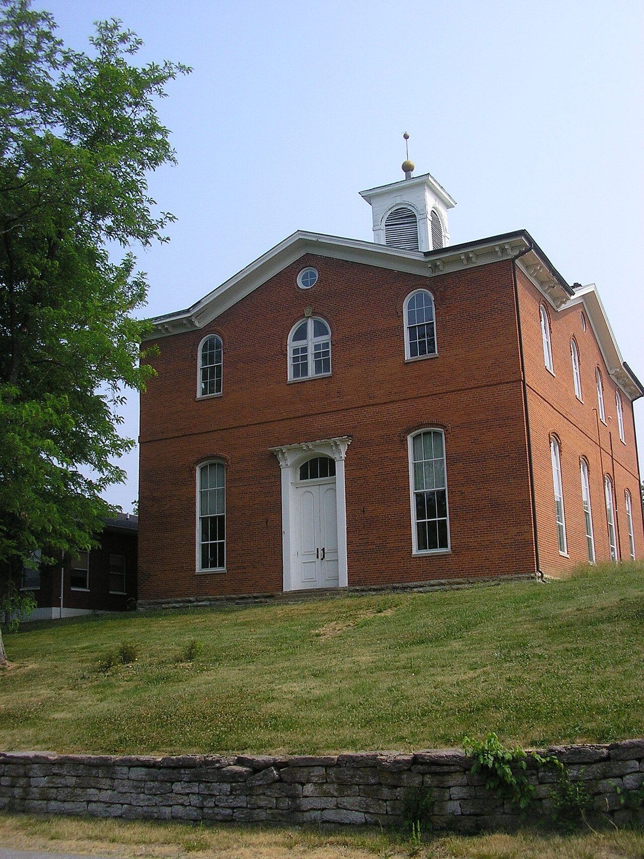


 2014
 2007
 2007
 2004


