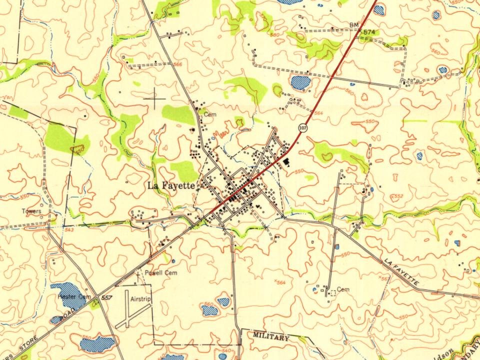
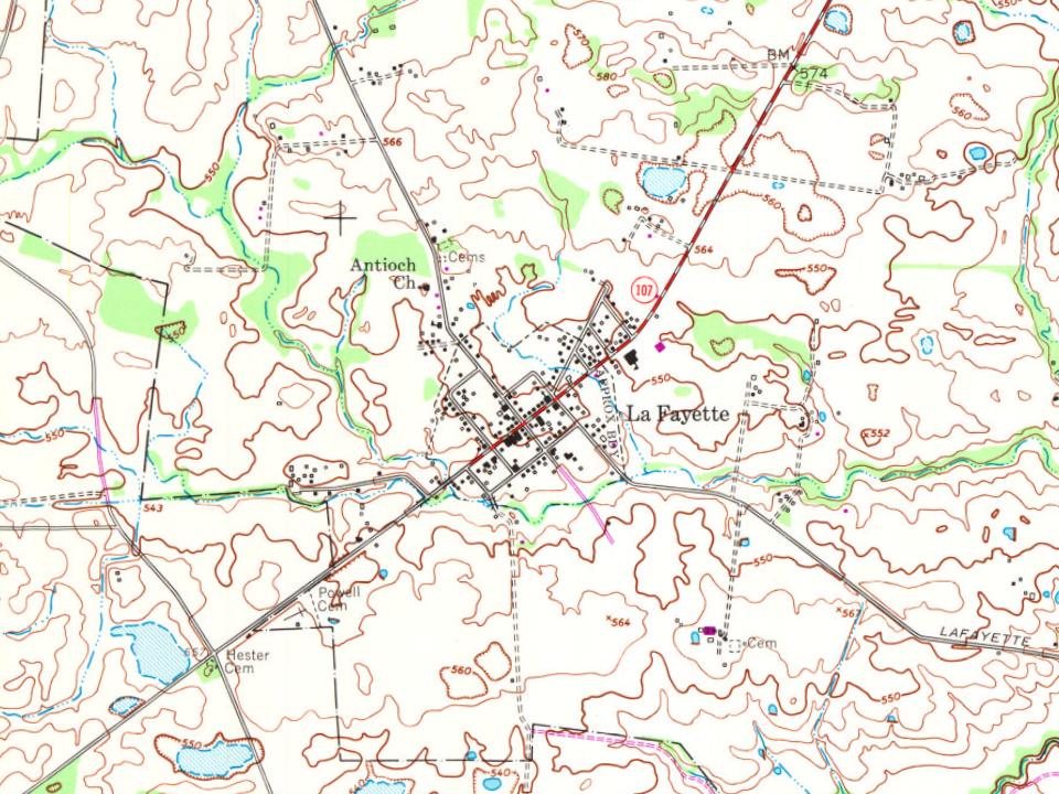
LaFayette was first settled in the late 1810s, and by 1820 was home to a dry goods and grocery store. It was formally incorporated by the state assembly in 1836. The city was named in honor of Revolutionary War hero the Marquis de Lafayette.
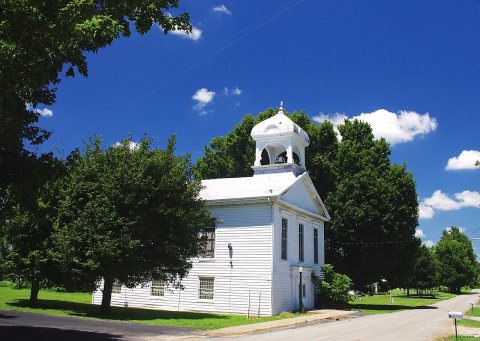
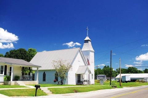
LaFayette is home to an antebellum church, the Lafayette Methodist Church. Built in 1852 by Dutch-born builder Daniel Umbenhour, the church is now listed on the National Register of Historic Places.
Passages that mention LaFayette, cut from the printed page as they were published.
A History of Christian County Kentucky from Oxcart to Airplane1930 · page 342Read the page →
Read the text
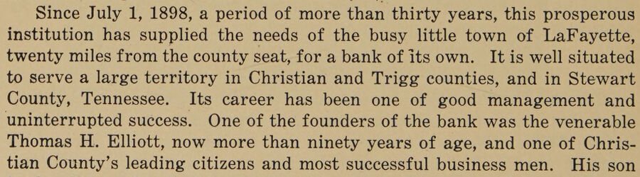
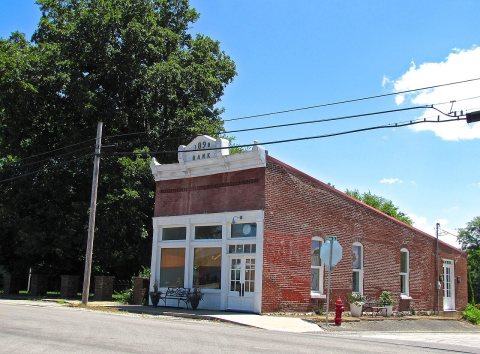
Since July 1, 1898, a period of more than thirty years, this prosperous institution has supplied the needs of the busy little town of LaFayette, twenty miles from the county seat, for a bank of its own. It is well situated to serve a large territory in Christian and Trigg counties, and in Stewart County, Tennessee. Its career has been one of good management and uninterrupted success. One of the founders of the bank was the venerable Thomas H. Elliott, now more than ninety years of age, and one of Christian County’s leading citizens and most successful business men. His son
Text read by machine from the scan; it may contain errors.
Scans and text from the Internet Archive. Books published in 1930 or earlier, which are in the public domain.
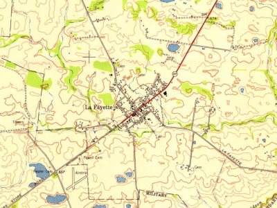
Founding dates: Wikidata, Wikipedia, the U.S. post office records of Blevins & Helbock (CC0) and the Census. Homes by year built: Census ACS 2020–24. National Register of Historic Places: National Park Service (list of May 22, 2026). Old photos, postcards and papers: Wikimedia Commons, the Library of Congress and other public archives, credited on each item’s page. Maps: U.S. Geological Survey historical topographic maps (via Esri) and Sanborn fire-insurance maps (Library of Congress). History text and census tables: Wikipedia (CC BY-SA 4.0). Places that used to be: USGS Geographic Names Information System (2021). How TownRatings grades history →
From Wikimedia Commons (8), the National Register of Historic Places (1), Wikipedia, U.S. Geological Survey historical maps, U.S. Census counts (via Wikipedia), the US Post Offices dataset (Blevins & Helbock), the USGS Geographic Names Information System and old county and town histories (Internet Archive). Archive images are copied here with their credits and licenses, shown on each photo’s page. Refreshed monthly.

 2017
 2017
 2017
 2017
 2017
 2017
 2017
 2017