More historic than 25% of U.S. towns · #110 of 142 in Kentucky. What drives it
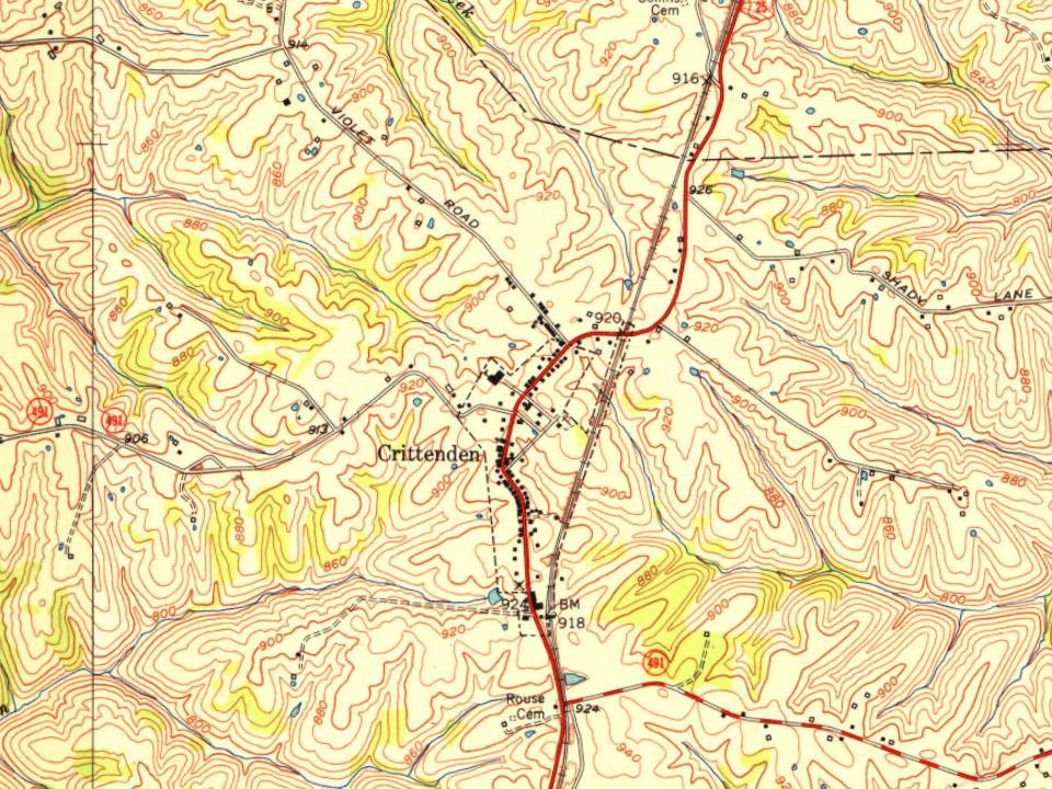
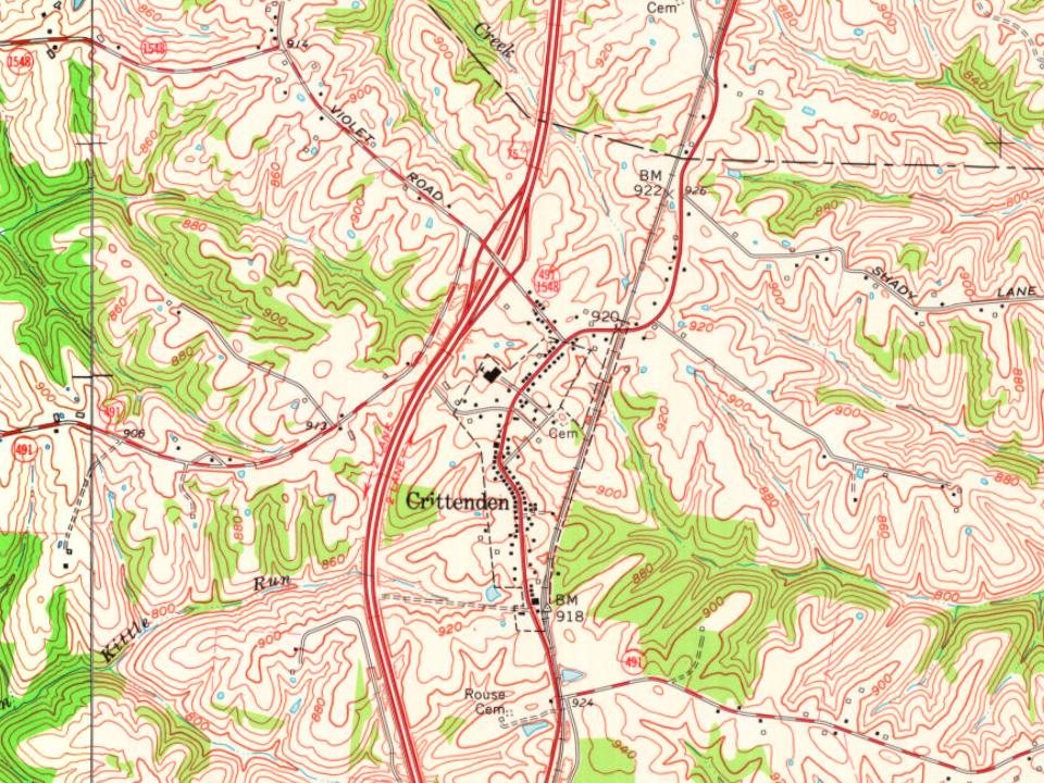
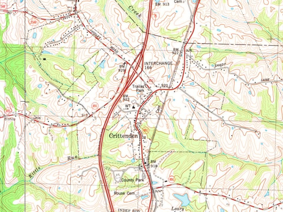
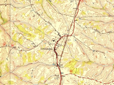
Most of Crittenden was built recently: 0.4% of its homes predate 1940 and the median home dates from 1996. Below: maps from 1950 on and the census since 1850.
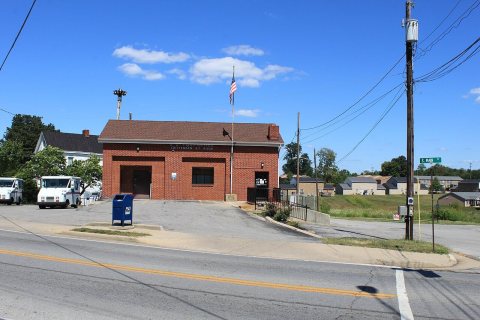
Founding year: the first Crittenden post office (Blevins & Helbock, CC0).The full story ↓
History grade
What drives Crittenden’s History grade
On its age, its old homes and the National Register, Crittenden is more historic than 25% of U.S. towns, #110 of 142 in Kentucky. Its age holds the grade up; its share of homes from before 1940 pulls it down.
C
HistoryA character grade: shown, never part of Crittenden’s overall grade.
Kentucky towns list more on the Register than most of the country (a typical Kentucky town has 29.9 per 10,000 residents, the U.S. 2.4), so Crittenden’s 0.0 sits below most of its state (12% of Kentucky towns have fewer) while its 0 listings outnumber those of 23% of U.S. towns.
How sure. Graded on any two of the three inputs instead, the letter would range from D− to C+. The pre-1940 share (±0.8 points) is firm at this size. The founding year is the first post office, not a stated founding date.
Founding year: the first post office (other dates in Quick answers). Homes: Census ACS 2020–24. National Register: National Park Service, May 2026 list; each listing counted once (boundary changes and added documentation belong to their listing), and a historic district counts its contributing buildings. How TownRatings grades history →
What stands out about Crittenden’s past
Read from the archive, the National Register and the record. The page puts what stands out first.
The area of what is now Crittenden may have been settled as early as 1812. The community was called "Pin Hook" until 1834, when it was renamed for Kentucky statesman and later governor John J. Crittenden.
Durng the evening of March 2, 2012, a short-lived yet deadly tornado struck the Cincinnati, Ohio metro area, causing devastating damage across the communities of Crittenden, Piner, and Morning View, in the U.S. state of Kentucky. The Crittenden tornado originated from a parent supercell that had dropped a fatal and long-tracked EF4 tornado only hours earlier that struck parts of southern Indiana, especially the city of Henryville.
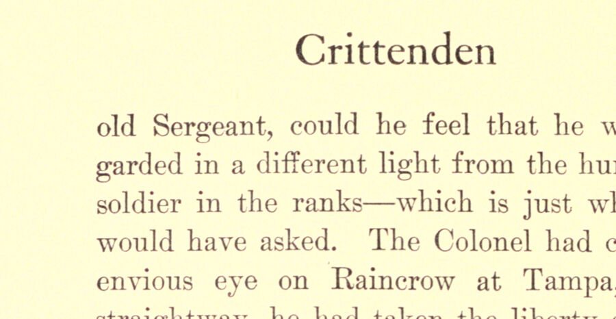
Crittenden laughed, and took off his hat very politely when they met the buggy, but Wharton looked surly. The girl with the black hair looked sharply at Judith, and then again at Crittenden, and smiled. She must have cared 77
Text read by machine from the scan; it may contain errors.
Crittenden, a Kentucky story of love and war1900 · page 134Read the page →
Read the text
Crittenden him a word of advice and to shake his head over the step that Crittenden had taken. That step had done him good in body and soul. It made him lean and tanned; it sharp ened and strengthened his profile; it cleared his eye and settled his lips even more firmly.
Text read by machine from the scan; it may contain errors.
Scans and text from the Internet Archive. Books published in 1930 or earlier, which are in the public domain.
The Crittenden post office opened in 1834, the earliest record of the town by name (U.S. post office records).
How does Crittenden rank for history?
Crittenden is more historic than 25% of U.S. towns, #110 of 142 in Kentucky. The History grade combines the town’s founding era, the share of homes built before 1940 and its National Register listings. It’s a character grade, so it isn’t part of the overall grade. How it works.
How old are the homes in Crittenden?
0.4% of Crittenden’s homes were built before 1940 (Census estimate), against a typical 5.9% for a Kentucky town; the median home was built in 1996.
Founding dates: Wikidata, Wikipedia, the U.S. post office records of Blevins & Helbock (CC0) and the Census. Homes by year built: Census ACS 2020–24. National Register of Historic Places: National Park Service (list of May 22, 2026). Old photos, postcards and papers: Wikimedia Commons, the Library of Congress and other public archives, credited on each item’s page. Maps: U.S. Geological Survey historical topographic maps (via Esri) and Sanborn fire-insurance maps (Library of Congress). History text and census tables: Wikipedia (CC BY-SA 4.0). Places that used to be: USGS Geographic Names Information System (2021).
From Wikimedia Commons (4), Wikipedia, Wikidata and Wikipedia for famous people, U.S. Geological Survey historical maps, U.S. Census counts (via Wikipedia), the US Post Offices dataset (Blevins & Helbock), the USGS Geographic Names Information System and old county and town histories (Internet Archive). Archive images are copied here with their credits and licenses, shown on each photo’s page. Refreshed monthly.
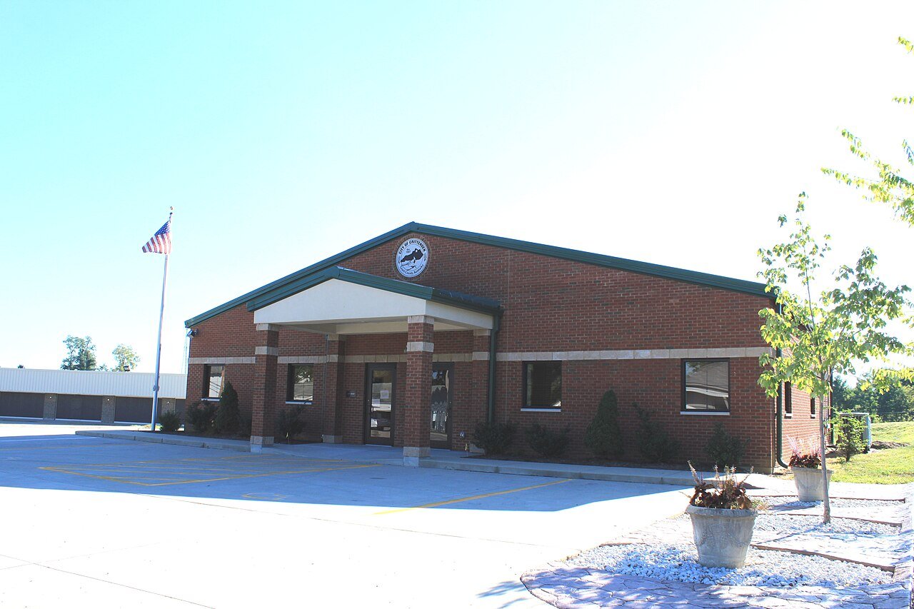

 2011
 2011
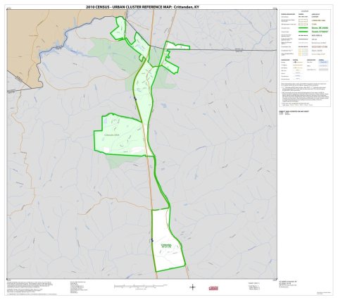 2010
 2004