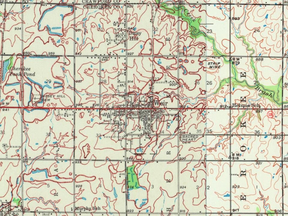
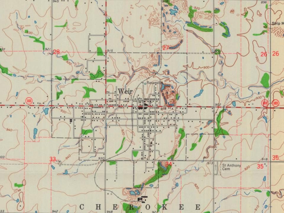
Peaked at 2,977 in 1900; 569 people lived here in 2020.
15 censuses, 1880–2020.
U.S. Census Bureau decennial counts, from the census table on Weir’s Wikipedia page.
Every building
Weir, building by building, 1893–1915
Fire insurance maps drew every building, what it was made of and what it was used for, so insurers could price the risk of fire. Pick a year, then a sheet.
Weir was founded in 1872 and is named after landowner T. M. Weir, who donated forty acres as a townsite. The first post office in Weir was established in 1875.
In 1873, the Weir City Zinc Company was the first zinc smelter to open at Weir. Weir was also one of the first locations in Kansas where coal was mined commercially. Weir is, in large part, undermined at a depth of about 30 feet where coal was mined from a four-foot-thick vein. In 1899, more than 200 African-American miners traveled to Weir from Pana, Illinois, after being attacked by white union members in what was called the Pana riot during a coal mining strike. They were eager for work and unwilling to return to Alabama, from where they had been recruited.
Passages that mention Weir, cut from the printed page as they were published.
History of Cherokee County, Kansas1904 · page 174Read the page →
Read the text
The population of Weir City in 1880 was about 350. It has had a steady growth, and at the last census, in 1900, its population was 3,091. The building of the Weir City branch of the Kansas City, Fort Scott & Memphis road, which leaves the main line at Scammon, runs through Weir City and Pittsburg and returns to the main line at Girard, gave an im-
Text read by machine from the scan; it may contain errors.
History of Cherokee County, Kansas1904 · page 91Read the page →
Read the text
Dr. C. W. Hoag, now living at Weir City, and practicing his profession there, came to Cherokee County in 1871. He settled first at Coalfield, a small station on the Kansas City, Fort Scott & Gulf Railroad, and he was the company's agent there for a while. In 1877, when Hugh Lincoln, justice of the peace for Cherokee township, died. Dr. Hoag was ap-
Text read by machine from the scan; it may contain errors.
Scans and text from the Internet Archive. Books published in 1930 or earlier, which are in the public domain.
Timeline
Weir, 1872 to 1943
Woven from the archive, old maps, post office records, the National Register and the people born here.
Founding dates: Wikidata, Wikipedia, the U.S. post office records of Blevins & Helbock (CC0) and the Census. Homes by year built: Census ACS 2020–24. National Register of Historic Places: National Park Service (list of May 22, 2026). Old photos, postcards and papers: Wikimedia Commons, the Library of Congress and other public archives, credited on each item’s page. Maps: U.S. Geological Survey historical topographic maps (via Esri) and Sanborn fire-insurance maps (Library of Congress). History text and census tables: Wikipedia (CC BY-SA 4.0). Places that used to be: USGS Geographic Names Information System (2021). How TownRatings grades history →
From Wikimedia Commons (2), Wikipedia, Wikidata and Wikipedia for famous people, U.S. Geological Survey historical maps, U.S. Census counts (via Wikipedia), the US Post Offices dataset (Blevins & Helbock), the USGS Geographic Names Information System, Sanborn fire insurance maps (Library of Congress) and old county and town histories (Internet Archive). Archive images are copied here with their credits and licenses, shown on each photo’s page. Refreshed monthly.


 2024
 2004