How Wabaunsee Township began, and where its name came from
When was Wabaunsee Township founded?
1855
The Wabaunsee Township post office opened in 1855, the earliest record of the town by name. Another post office, Wabaunsee (1855), opened inside today’s town and later closed.
2020 census: 579171 years
How did Wabaunsee Township get its name?
Wabaunsee Township was named for former Pottawatomi chief Wabaunsee.
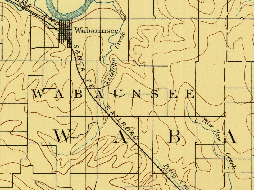
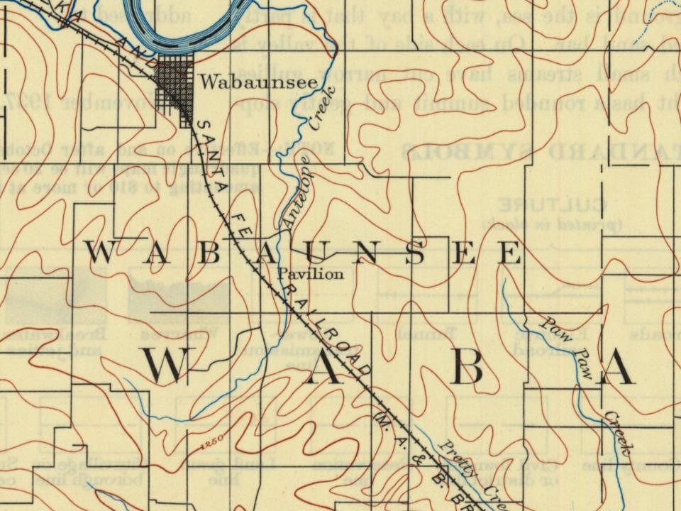
Every edition of the U.S. Geological Survey’s map of Wabaunsee Township. Tap a year, or press play to watch the town change.
1889Wamego sheet · 1:125,000
U.S. Geological Survey historical topographic maps (public domain), via Esri’s collection of the scans. The red ring marks the center of Wabaunsee Township.
Wabaunsee was founded in 1855 by a group of nearly 100 emigrants from New Haven, Connecticut. They were inspired by a sermon given by well-known abolitionist Henry Ward Beecher, who donated money to help supply rifles for the men to defend themselves. The rifles were smuggled through pro-slavery areas in crates marked "Beecher's Bibles."
Wabaunsee was staunchly anti-slavery and became part of the Underground Railroad in late 1856 and helped Lawrence after Quantrill's Raid. In 1862, the Beecher Bible and Rifle Church was completed and after the Civil War, Wabaunsee hoped for a railroad, but it was constructed north of the river.
Wabaunsee served as the county seat until after the Civil War, when the seat was transferred to Alma.
The Wabaunsee Township post office opened in 1855, the earliest record of the town by name (U.S. post office records).
What is on the National Register in Wabaunsee Township?
4 listings: 3 buildings, among them the Beecher Bible and Rifle Church (listed 1971, the first), and 1 historic district, the Mount Mitchell Heritage Prairie Historic District, with 5 contributing buildings. 8 historic buildings in all.
Founding dates: Wikidata, Wikipedia, the U.S. post office records of Blevins & Helbock (CC0) and the Census. Homes by year built: Census ACS 2020–24. National Register of Historic Places: National Park Service (list of May 22, 2026). Old photos, postcards and papers: Wikimedia Commons, the Library of Congress and other public archives, credited on each item’s page. Maps: U.S. Geological Survey historical topographic maps (via Esri) and Sanborn fire-insurance maps (Library of Congress). History text and census tables: Wikipedia (CC BY-SA 4.0). Places that used to be: USGS Geographic Names Information System (2021). How TownRatings grades history →
From the National Register of Historic Places (4), Wikipedia, U.S. Geological Survey historical maps, the US Post Offices dataset (Blevins & Helbock) and the USGS Geographic Names Information System. Archive images are copied here with their credits and licenses, shown on each photo’s page. Refreshed monthly.