Eugene F. Goodrich House · Photo: Bhall87 · CC BY-SA 3.0
–Not graded
History · Russell Springs Township
Russell Springs Township dates to 1865, and 65% of its homes were built before 1940
Its Register listings are the English Lutheran Church and the Eugene F. Goodrich House. Its Register listings are the English Lutheran Church and the Eugene F. Goodrich House. Below: maps from 1969 on and the census since 1890.
Russell Springs, founded in 1865, was the Eaton stop on the Butterfield Overland Dispatch stage line. The line ran through rough Indian country to connect the gold mines in Denver, Colorado, with Fort Riley, Kansas. It ran until the Kansas Pacific Railroad was built. Travelers on the Butterfield Trail always made the natural springs in the area a watering place and calling them "Russell's Springs".
It was named for Avra P. Russell, of the 2nd Regiment Kansas Volunteer Cavalry.
Russell Springs was the county seat of Logan County until 1963. There was much feuding over which town should serve as county seat, and Oakley won the honor in 1963. In 1965, the old county courthouse in Russell Springs became the Butterfield Trail Museum.
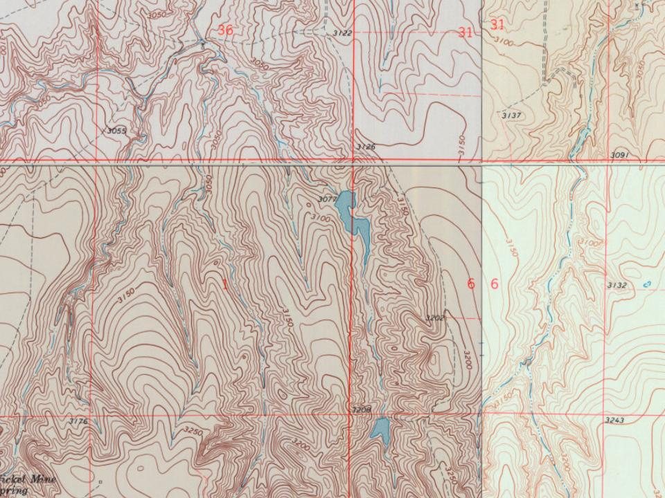
Every edition of the U.S. Geological Survey’s map of Russell Springs Township. Tap a year, or press play to watch the town change.
1969Nickel Mine Spring sheet · 1:24,000
U.S. Geological Survey historical topographic maps (public domain), via Esri’s collection of the scans. The red ring marks the center of Russell Springs Township.
On the National Register
3 historic places in Russell Springs Township
The country’s official list of buildings and places worth saving.
Founding dates: Wikidata, Wikipedia, the U.S. post office records of Blevins & Helbock (CC0) and the Census. Homes by year built: Census ACS 2020–24. National Register of Historic Places: National Park Service (list of May 22, 2026). Old photos, postcards and papers: Wikimedia Commons, the Library of Congress and other public archives, credited on each item’s page. Maps: U.S. Geological Survey historical topographic maps (via Esri) and Sanborn fire-insurance maps (Library of Congress). History text and census tables: Wikipedia (CC BY-SA 4.0). Places that used to be: USGS Geographic Names Information System (2021). How TownRatings grades history →
From Wikimedia Commons (1), Wikidata (1), the National Register of Historic Places (2), Wikipedia, U.S. Geological Survey historical maps, U.S. Census counts (via Wikipedia) and the USGS Geographic Names Information System. Archive images are copied here with their credits and licenses, shown on each photo’s page. Refreshed monthly.


 2004