How Pierceville Township began, and where its name came from
When was Pierceville Township founded?
1873
The Pierceville Township post office opened in 1873, the earliest record of the town by name. Another post office, Pierceville (1873), opened inside today’s town and later closed.
2020 census: 459153 years
How did Pierceville Township get its name?
Pierceville Township was named Pierceville in honor of Chas.
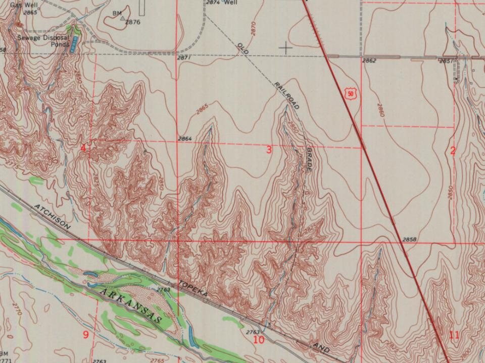
Every edition of the U.S. Geological Survey’s map of Pierceville Township. Tap a year, or press play to watch the town change.
1896Garden City sheet · 1:125,000
U.S. Geological Survey historical topographic maps (public domain), via Esri’s collection of the scans. The red ring marks the center of Pierceville Township.
The Western Trail (a cattle trail) played a part in the founding of this town. The Barton Brothers drove a herd of 3,000 cattle over the trail, and the cattle were the first to feed on the government lands in western Kansas. In the fall of 1872, they came to the area and established a ranch along the Arkansas River. The Atchison, Topeka and Santa Fe Railway was laying track in southwestern Kansas, and they chose the Barton Ranch as headquarters for the town site. It was named Pierceville in honor of Chas. W. and Carlos Pierce, who were members of the original Atchison & Topeka Railroad company.
Founding dates: Wikidata, Wikipedia, the U.S. post office records of Blevins & Helbock (CC0) and the Census. Homes by year built: Census ACS 2020–24. National Register of Historic Places: National Park Service (list of May 22, 2026). Old photos, postcards and papers: Wikimedia Commons, the Library of Congress and other public archives, credited on each item’s page. Maps: U.S. Geological Survey historical topographic maps (via Esri) and Sanborn fire-insurance maps (Library of Congress). History text and census tables: Wikipedia (CC BY-SA 4.0). Places that used to be: USGS Geographic Names Information System (2021). How TownRatings grades history →
From Wikipedia, U.S. Geological Survey historical maps, the US Post Offices dataset (Blevins & Helbock) and the USGS Geographic Names Information System. Archive images are copied here with their credits and licenses, shown on each photo’s page. Refreshed monthly.