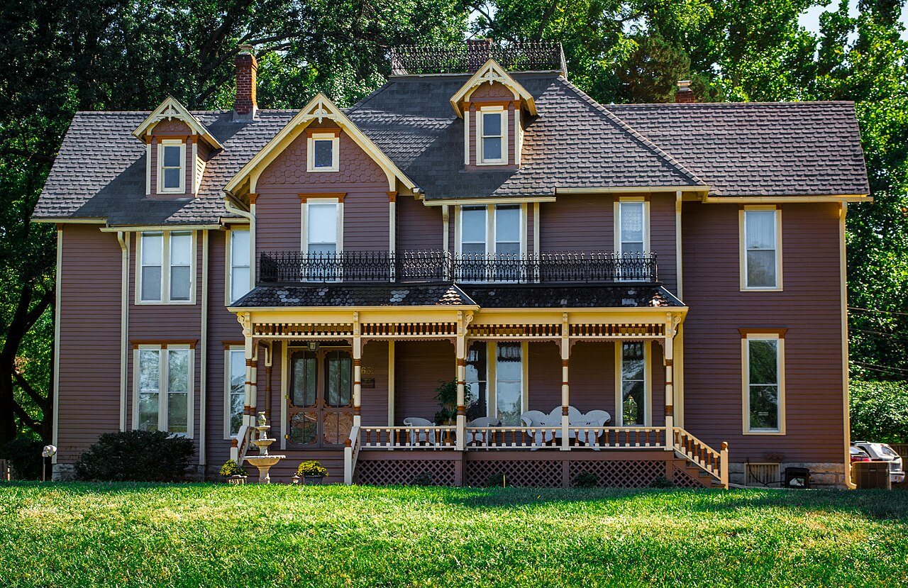
Olathe’s post office opened in 1857, and 7 of its places are on the National Register
More historic than 29% of U.S. towns · #102 of 151 in Kansas. What drives it
Most of Olathe was built recently: 2% of its homes predate 1940 and the median home dates from 1994. Below: maps from 1884 on and the census since 1870.
The Olathe post office opened in 1857, the earliest record of the town by name. Two smaller post offices, Black Bob (1875) and Pioneer (1897), opened inside today’s city and later closed.
First census: 1,817 in 18702020 census: 141,290169 years
How historic is Olathe?
C
More historic than 29% of U.S. towns, on its age, its old homes and the National Register.
Founding year: the first Olathe post office (Blevins & Helbock, CC0).The full story ↓
History grade
What drives Olathe’s History grade
On its age, its old homes and the National Register, Olathe is more historic than 29% of U.S. towns, #102 of 151 in Kansas. Its National Register listings hold the grade up; its share of homes from before 1940 pulls it down.
C
HistoryA character grade: shown, never part of Olathe’s overall grade.
Among the 400 U.S. cities of 100,000 or more, Olathe ranks #310 on History.
Kansas towns list more on the Register than most of the country (a typical Kansas town has 5.1 per 10,000 residents, the U.S. 2.4), so Olathe’s 0.5 sits near the middle of its state (39% of Kansas towns have fewer) while its 7 listings outnumber those of 73% of U.S. towns.
Newer cities are common at Olathe’s size: in the typical U.S. city of 100,000 or more, 5% of homes predate 1940.
How sure. Graded on any two of the three inputs instead, the letter would range from C− to C+. The pre-1940 share (±0.4 points) is firm at this size. The founding year is the first post office, not a stated founding date.
Founding year: the first post office (other dates in Quick answers). Homes: Census ACS 2020–24. National Register: National Park Service, May 2026 list; each listing counted once (boundary changes and added documentation belong to their listing), and a historic district counts its contributing buildings. How TownRatings grades history →
What stands out about Olathe’s past
Read from the archive, the National Register and the record. The page puts what stands out first.
Fire insurance maps drew every building, what it was made of and what it was used for, so insurers could price the risk of fire. Pick a year, then a sheet.
Olathe was founded by John T. Barton in the spring of 1857. He rode to the center of Johnson County, and staked two quarter sections of land as the town site. He later described his ride to friends: "...the prairie was covered with verbena and other wild flowers. I kept thinking the land was beautiful and that I should name the town Beautiful." Purportedly, Barton asked a Shawnee interpreter how to say "Beautiful" in his native language. The interpreter responded, "Olathe."
Passages that mention Olathe, cut from the printed page as they were published.
History of Johnson County, Kansas1915 · page 94Read the page →
Read the text
In the fall of 1859, the citizens of Olathe came to the conclusion that an agricultural society would be a good thing for Olathe and Johnson county, and a call for a meeting of the citizens of the county was inserted for that purpose, in the columns of the Olathe "Herald," and on the eighth day of October, 1859, at the court house in Olathe, the first effort in the county was made, to organize an agricultural society. It was one of those wet, rainy days, about like Monday, and the citizens of Olathe did the principal part of the wind work necessary to start
Text read by machine from the scan; it may contain errors.
History of Johnson County, Kansas1915 · page 195Read the page →
Read the text
nified position of police judge of the city of Olathe, and Mr. Milhoan. by the way, has been connected with the city of Olathe since the town was organized, way back in the prairie days of 1857. He was its first marshal, and Governor Robinson appointed him constable also when the county was organized, and for twelve years he was deputy sheriff, including the days of border warfare. Mr. Milhoan is a quiet, level-headed man with n unusually bright mind, and remembers with remarkable clearness the events that transpired prior to and during the
Text read by machine from the scan; it may contain errors.
Scans and text from the Internet Archive. Books published in 1930 or earlier, which are in the public domain.
Timeline
Olathe, 1857 to 1935
Woven from the archive, old maps, post office records, the National Register and the people born here.
The Olathe post office opened in 1857, the earliest record of the town by name (U.S. post office records).
How does Olathe rank for history?
Olathe is more historic than 29% of U.S. towns, #102 of 151 in Kansas. The History grade combines the town’s founding era, the share of homes built before 1940 and its National Register listings. It’s a character grade, so it isn’t part of the overall grade. How it works.
What is on the National Register in Olathe?
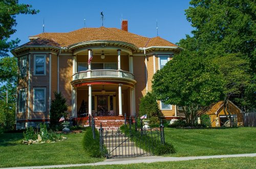
7 listings: 5 buildings, among them the J. B. Mahaffie House (listed 1977, the first), and 2 sites.
How old are the homes in Olathe?
2% of Olathe’s homes were built before 1940 (Census estimate), against a typical 10% for a Kansas town; the median home was built in 1994.
Founding dates: Wikidata, Wikipedia, the U.S. post office records of Blevins & Helbock (CC0) and the Census. Homes by year built: Census ACS 2020–24. National Register of Historic Places: National Park Service (list of May 22, 2026). Old photos, postcards and papers: Wikimedia Commons, the Library of Congress and other public archives, credited on each item’s page. Maps: U.S. Geological Survey historical topographic maps (via Esri) and Sanborn fire-insurance maps (Library of Congress). History text and census tables: Wikipedia (CC BY-SA 4.0). Places that used to be: USGS Geographic Names Information System (2021).
From the National Register of Historic Places (7), Wikipedia, U.S. Geological Survey historical maps, U.S. Census counts (via Wikipedia), the US Post Offices dataset (Blevins & Helbock), the USGS Geographic Names Information System, Sanborn fire insurance maps (Library of Congress) and old county and town histories (Internet Archive). Archive images are copied here with their credits and licenses, shown on each photo’s page. Refreshed monthly.