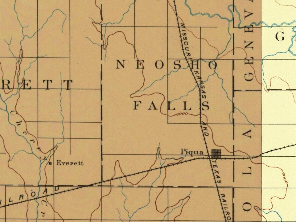
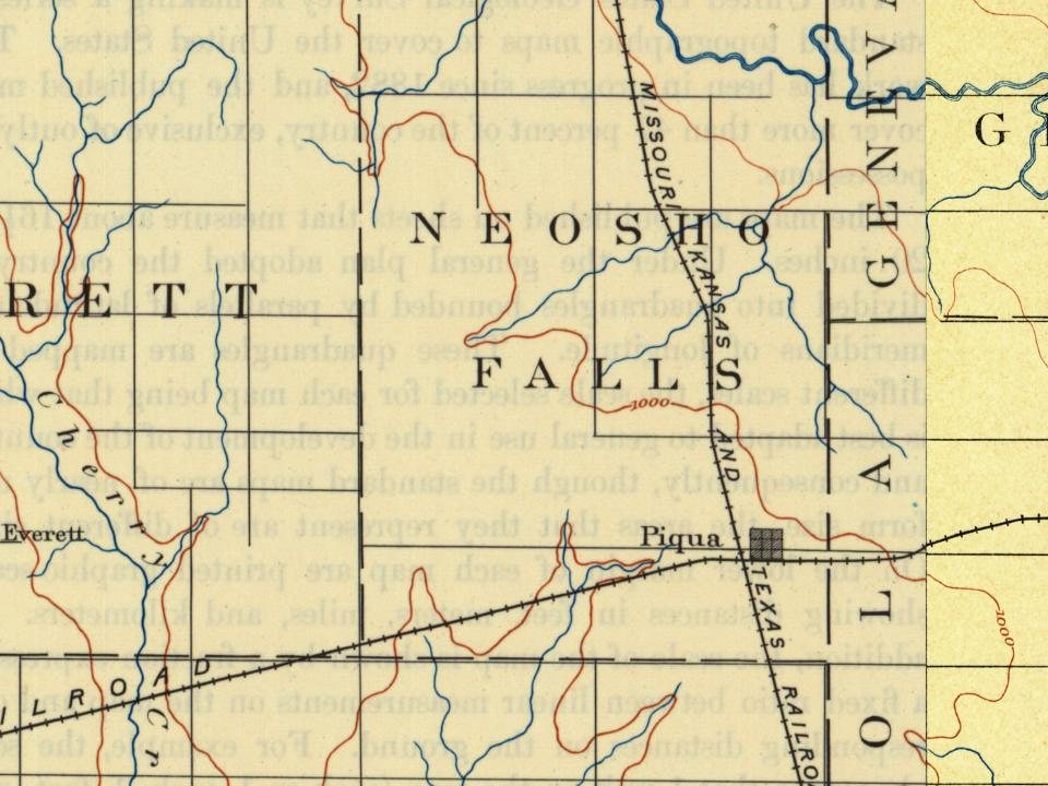
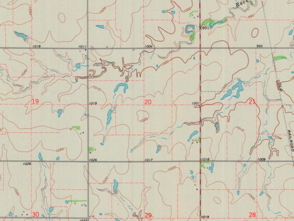
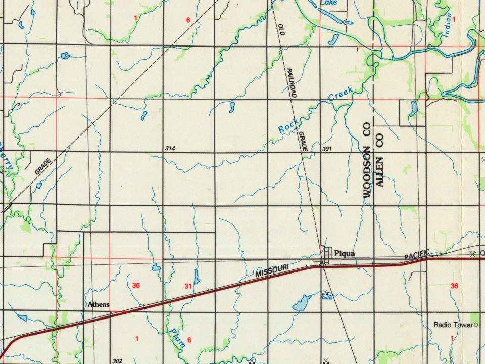
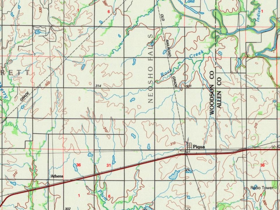
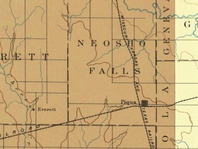
Every edition of the U.S. Geological Survey’s map of Neosho Falls Township. Tap a year, or press play to watch the town change.
1886Fredonia sheet · 1:125,000
U.S. Geological Survey historical topographic maps (public domain), via Esri’s collection of the scans. The red ring marks the center of Neosho Falls Township.
People over time
Neosho Falls Township, census by census
Peaked at 763 in 1900; 134 people lived here in 2020.
16 censuses, 1870–2020.
U.S. Census Bureau decennial counts, from the census table on Neosho Falls Township’s Wikipedia page.
The story
How Neosho Falls Township came to be
From Wikipedia’s history of Neosho Falls Township.
Neosho Falls was founded in 1857, making it the oldest town and first county seat in Woodson County. It was named from the Neosho River, on which it is situated. The first post office in Neosho Falls was established in May 1857.
Neosho Falls was originally platted and extensively improved by a company led by Benjamin F. Goss and his brother N. S. Goss, who would later organize a company of cavalry in the area to fight for the Union in the Civil War.
The town was largely destroyed and abandoned when the Neosho River overflowed during the Great Flood of 1951.
Old hamlets and crossroads still carry their names on the map.
Hamlets and corners on the map
Piqua
Gone or out of use
Clay Bank SchoolschoolMcClannahan SchoolschoolNewton SchoolschoolNorth Star SchoolschoolOwl Creek SchoolschoolPhilmore SchoolschoolPlum Creek SchoolschoolSpawr SchoolschoolVernon Oil Fieldoilfield
7cemeteries and burying grounds inside Neosho Falls Township
CedarvaleLinderOwl Creek LutheranSaint Martin'sSaint MarysSchaedeSkeeters
US Post Offices dataset (Blevins & Helbock, CC0). Places and cemeteries from the USGS Geographic Names Information System (2021).
Stories next door
History across the town line
Each neighbor’s History grade, on the same three inputs.
Founding dates: Wikidata, Wikipedia, the U.S. post office records of Blevins & Helbock (CC0) and the Census. Homes by year built: Census ACS 2020–24. National Register of Historic Places: National Park Service (list of May 22, 2026). Old photos, postcards and papers: Wikimedia Commons, the Library of Congress and other public archives, credited on each item’s page. Maps: U.S. Geological Survey historical topographic maps (via Esri) and Sanborn fire-insurance maps (Library of Congress). History text and census tables: Wikipedia (CC BY-SA 4.0). Places that used to be: USGS Geographic Names Information System (2021). How TownRatings grades history →
From Wikipedia, U.S. Geological Survey historical maps, U.S. Census counts (via Wikipedia), the US Post Offices dataset (Blevins & Helbock) and the USGS Geographic Names Information System. Archive images are copied here with their credits and licenses, shown on each photo’s page. Refreshed monthly.