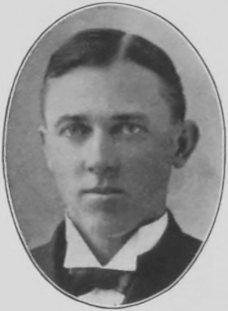
Passages that mention Munden, cut from the printed page as they were published.
A history of Republic county, Kansas1901 · page 191Read the page →
Read the text
E. V. Rockhold 1898 and 1899 J. W. Boughner a part of 1899 W. H. Stinson 1900 and 1901 The village of Munden, so called from John Munden, owner of the land on which the town is built and trustee for Jane Ann Stephens, is located on the north line of Pairview townshiji. The original townsite was surveyed by E. W. Wagner, county surveyor, on the 29th and 30th
Text read by machine from the scan; it may contain errors.
A history of Republic county, Kansas1901 · page 86Read the page →
Read the text
The other enters the county on section 12, in Albion township; runs southwest to Belleville, where the two unite and form the main line to Denver. The stations on this Une are Narka and Munden. On the Main line west the stations are Belleville, Rydal, Scandia and Courtland. The mileage on both lines is fifty -four and ninety-otieone hundredths, and the assessed valuation for 1901 is $421,336.
Text read by machine from the scan; it may contain errors.
Scans and text from the Internet Archive. Books published in 1930 or earlier, which are in the public domain.
Timeline
Munden, 1875 to 1920
Woven from the archive, old maps, post office records, the National Register and the people born here.
Founding dates: Wikidata, Wikipedia, the U.S. post office records of Blevins & Helbock (CC0) and the Census. Homes by year built: Census ACS 2020–24. National Register of Historic Places: National Park Service (list of May 22, 2026). Old photos, postcards and papers: Wikimedia Commons, the Library of Congress and other public archives, credited on each item’s page. Maps: U.S. Geological Survey historical topographic maps (via Esri) and Sanborn fire-insurance maps (Library of Congress). History text and census tables: Wikipedia (CC BY-SA 4.0). Places that used to be: USGS Geographic Names Information System (2021). How TownRatings grades history →
From the Library of Congress (4), Wikipedia, U.S. Geological Survey historical maps, U.S. Census counts (via Wikipedia), the US Post Offices dataset (Blevins & Helbock), the USGS Geographic Names Information System and old county and town histories (Internet Archive). Archive images are copied here with their credits and licenses, shown on each photo’s page. Refreshed monthly.


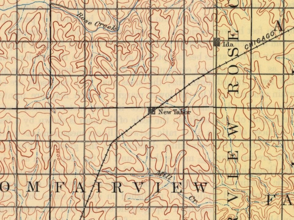

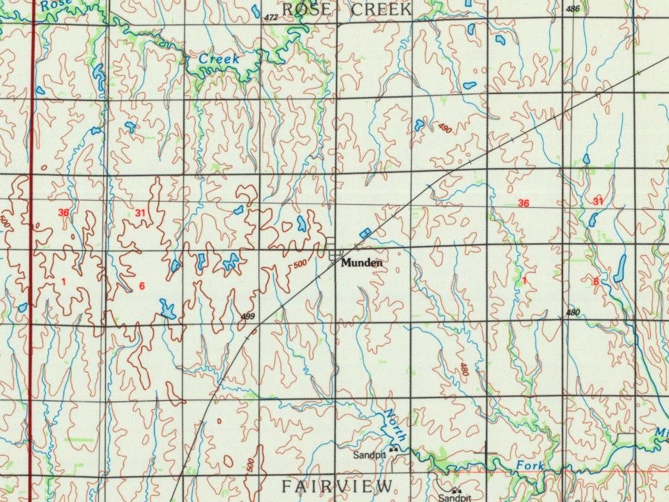


 Date?
 Date?
 Date?
 Date?