Guest, Sign inJoin

Post to Iola Township

We’ll email a one-tap link to publish your post. No password, and nothing is public until you click it.
Already a member? Sign in
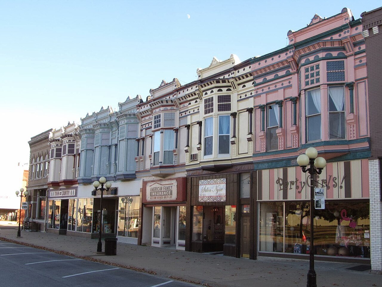
Downtown Iola, KSPhoto: Thrive Allen County · CC BY-SA 4.0
–Not graded
Outdoors in Iola Township

Few parks or trails are on the map in Iola Township

The biggest trail networks: Lehigh Portland State Park (3 mi). 48 acres are parks and preserves, 52 per 1,000 residents. 4.9 miles of mapped trail cross Iola Township, 0.1 per square mile of land.

Conserved land
under 1%
0 acres · of 42.8 sq mi of land
Trails
4.9 mi
0.1 per sq mi of land
Park land
48 ac
52 acres per 1,000 residents
Near a park
35%
of residents within ½ mile
Bike routes
5.0 mi
3.9 mi paths
Lakes & rivers
4
2 boat launches
The map

Conserved land, trails & bike routes

Tap a number to zoom to a park. Tap a layer to hide it.

12
Easements protect land from building but are usually private.© OpenStreetMap contributors · USGS PAD-US
Places to walk

Pick a walk

The longest trail network is Lehigh Portland State Park, with 3 miles. Directions go to the nearest trailhead or public parking.

Lehigh Portland State Park

Managed by Kansas Department of Wildlife & Parks
46 acres3 mi of trail
Lehigh Portland Trails: Cave Trail SouthLehigh Portland Trails: Cave Trail NorthLehigh Portland Trails: South Loop
Dog rules not recorded
Directionsto the parking lotWebsite ↗

Elm Creek Park South

Park
3 acres
Dog rules not recorded
Directionsto the trailhead
Things to do

5 places to go in Iola Township

Beaches, playgrounds, peaks, falls and more. Pick a kind.

Peaks in Iola Township
Ghost Beacon Hill
Directions
Trails & water

3 named trails and 4 lakes & rivers

Named trails
Open to bikes · 3.0 miUnpaved · 3.3 mi
Lehigh Portland Trails: Cave Trail South1.7 mi
Lehigh Portland Trails: Cave Trail North1.2 mi
Lehigh Portland Trails: South Loop0.1 mi
Lakes & rivers tap for directions
Biking & sports

5.0 miles of bike routes

Bike lanes are often missing from the map in smaller towns, so that number is likely low.

3.9 mi
off-road bike paths
1.1 mi
shoulders & shared lanes
Lehigh Portland TrailsBike route
3 mi
When to get out

April is the best month for walking in Iola Township

NOAA’s 1991–2020 normals for the town and the daylight at its latitude. Outlined months have long days, highs of 59 to 86 °F and little rain for the place.

JanFebMarAprMayJunJulAugSepOctNovDec
Daylight (h)9.810.711.813.114.214.814.513.612.411.110.19.5
High (°F)424858687685908981705745
Rain (in)1.21.62.64.35.85.44.44.04.33.52.41.8

January is the driest month (1.2 in) and July the warmest (highs of 90 °F). 5.8 inches fall in May, the wettest month. Summer highs reach 90 °F, too hot for the outline. The climate in Iola Township →

Next door

Iola Township and its neighbors

Iola Township has the second most mapped trails of the 4 towns around it. Tap a town to see its outdoors.
TownConserved
of land
Trail mi
per sq mi
Park acres
per 1,000
Near a park
½ mile
Outdoors
Iola Township— not graded: under 1,000 residents or part of its town
Iola2%2.67397%A
Bassett— not graded: under 1,000 residents or part of its town
Humboldt Township— not graded: under 1,000 residents or part of its town

The four inputs of the Outdoors grade, from the engine; shares are of land, not water.

Questions about parks and trails in Iola Township

Where can I hike in Iola Township?

The longest trail networks: Lehigh Portland State Park, 3 miles. Each one is on the map above, with directions to the nearest trailhead or parking.

Are dogs allowed on Iola Township’s trails?

Lehigh Portland State Park and Elm Creek Park South don’t have dog rules recorded on the map; check the signs at the trailhead.

Where can I bike in Iola Township?

5.0 miles of bike routes are on the map: 3.9 of off-road paths and 1.1 of shoulders and shared lanes. Named routes: Lehigh Portland Trails.

Is there public land near Iola Township?

506 acres of parks and open public land lie inside Iola Township or within 10 miles of it (PAD-US), 48 of them inside the town line.

Trail talk

Conditions, parking and favorite walks from Iola Township neighbors.

Town Square →
Share a tip
Sources

Where this page comes from

Conserved and public land: USGS Protected Areas Database of the United States (PAD-US), service updated July 2026. Parks, trails, playgrounds, beaches and other places: OpenStreetMap (© OpenStreetMap contributors, ODbL), map data as of 2026-10-28. Land and water area: Census 2025 Gazetteer. Residents near a park: 2020 Census blocks. National Register: National Park Service. How TownRatings grades the outdoors →