Herkimer was named after Herkimer, New York. A post office was opened in Herkimer in 1878, and remained in operation until it was discontinued in 1974.
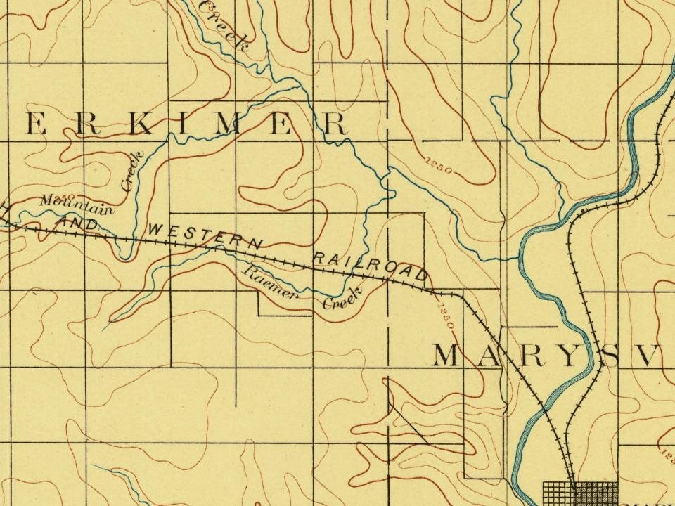
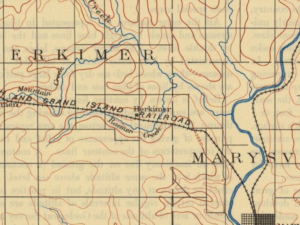
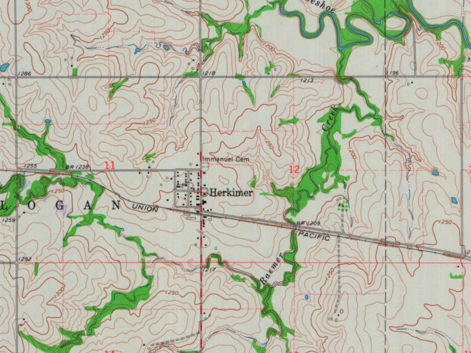
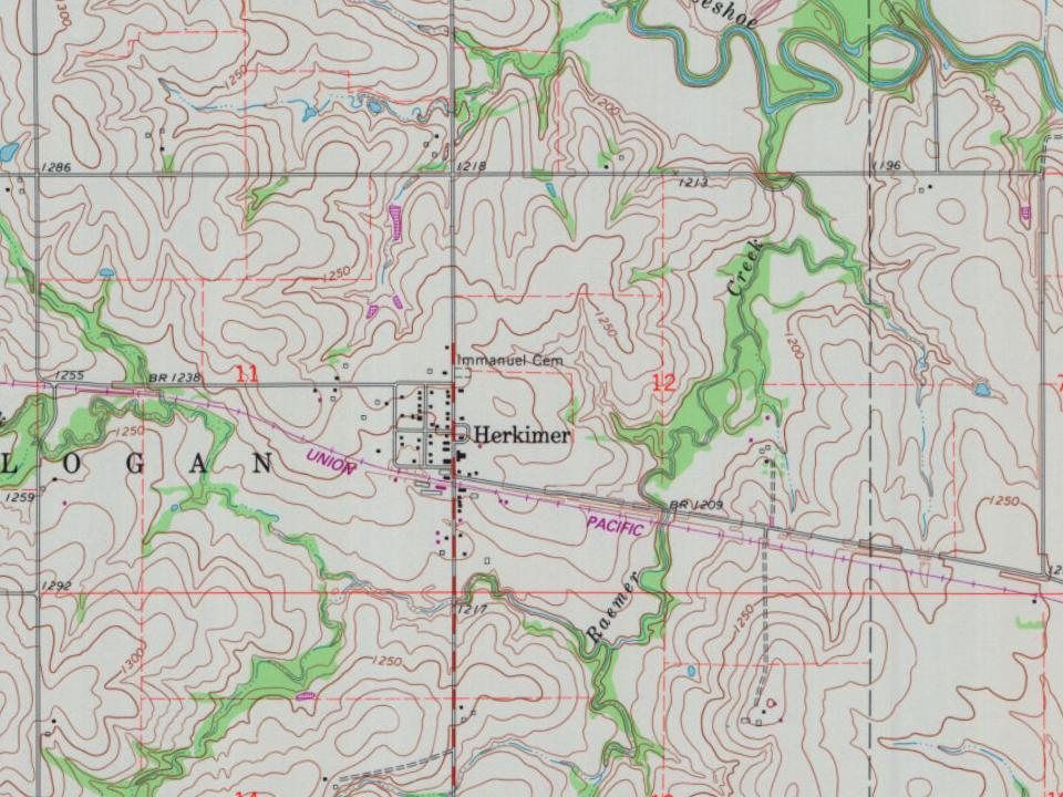
Herkimer is a town of one hundred and thirty inhabitants, located on the St. Joseph & Grand Island railroad on Raemer creek, five miles northwest of Marysville. The first white men to select claims for homes near where Herkimer is located, were the Friederichs brothers and H. Lenker, who settled on Horshoe creek in 1858; Henry Heppermann and George Goelitz came in 1859 and settled on what became Raemer creek. They were followed in i860 by Fred Philip and William Raemer; I. and N. Holloway, James Bartlow, Thomas Koeneke and others. When the war broke out in
Text read by machine from the scan; it may contain errors.
History of Marshall County, Kansas1917 · page 221Read the page →
Read the text
since 1880 but contains German citizens. The first German citizen to locate in Marshall county was G. H. Hollenberg. He was followed by the Koppes, Raemer, Friedrichs and other families; Frank Schmidt and C. F. Koester also were among the pioneers. Settlements were made in Herkimer and in Herkimer township ; on Horse Shoe creek and on Mission and Spring creeks. Also along the Blue rivers from Marietta to Walnut creek and a number settled in Marysville township.
Text read by machine from the scan; it may contain errors.
Scans and text from the Internet Archive. Books published in 1930 or earlier, which are in the public domain.
By decade
No old photos in the archives yet
Weddings on Main Street, storms, parades, school pictures, the old store. If it’s in your family album, it belongs here.
Be the first to add onePhotograph a print flat, in daylight, no flash.
Founding dates: Wikidata, Wikipedia, the U.S. post office records of Blevins & Helbock (CC0) and the Census. Homes by year built: Census ACS 2020–24. National Register of Historic Places: National Park Service (list of May 22, 2026). Old photos, postcards and papers: Wikimedia Commons, the Library of Congress and other public archives, credited on each item’s page. Maps: U.S. Geological Survey historical topographic maps (via Esri) and Sanborn fire-insurance maps (Library of Congress). History text and census tables: Wikipedia (CC BY-SA 4.0). Places that used to be: USGS Geographic Names Information System (2021). How TownRatings grades history →
From Wikipedia, U.S. Geological Survey historical maps and old county and town histories (Internet Archive). Archive images are copied here with their credits and licenses, shown on each photo’s page. Refreshed monthly.