The "Hollenberg Station" became an important hub along the way for Pony Express travelers and Geret Hollenberg eventually established a grocery and stage depot on his farm in 1858. The Hollenberg farm housed nine boarding rooms, and the success of "Hollenberg Station" as a business attracted more people to the area and many settled alongside the Hollenbergs in the decade leading up to the establishment of Hanover.
Prior to the establishment of the town, in 1868 a school district was established in the area to satisfy the need to educate children of settlers who continued to arrive near the "Hollenberg Station."
Fire insurance maps drew every building, what it was made of and what it was used for, so insurers could price the risk of fire. Pick a year, then a sheet.
Founding dates: Wikidata, Wikipedia, the U.S. post office records of Blevins & Helbock (CC0) and the Census. Homes by year built: Census ACS 2020–24. National Register of Historic Places: National Park Service (list of May 22, 2026). Old photos, postcards and papers: Wikimedia Commons, the Library of Congress and other public archives, credited on each item’s page. Maps: U.S. Geological Survey historical topographic maps (via Esri) and Sanborn fire-insurance maps (Library of Congress). History text and census tables: Wikipedia (CC BY-SA 4.0). Places that used to be: USGS Geographic Names Information System (2021). How TownRatings grades history →
From Wikimedia Commons (1), the Library of Congress (1), Wikipedia, Wikidata and Wikipedia for famous people, U.S. Geological Survey historical maps, U.S. Census counts (via Wikipedia), the US Post Offices dataset (Blevins & Helbock), the USGS Geographic Names Information System and Sanborn fire insurance maps (Library of Congress). Archive images are copied here with their credits and licenses, shown on each photo’s page. Refreshed monthly.


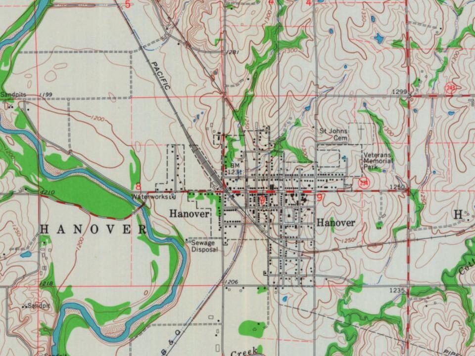
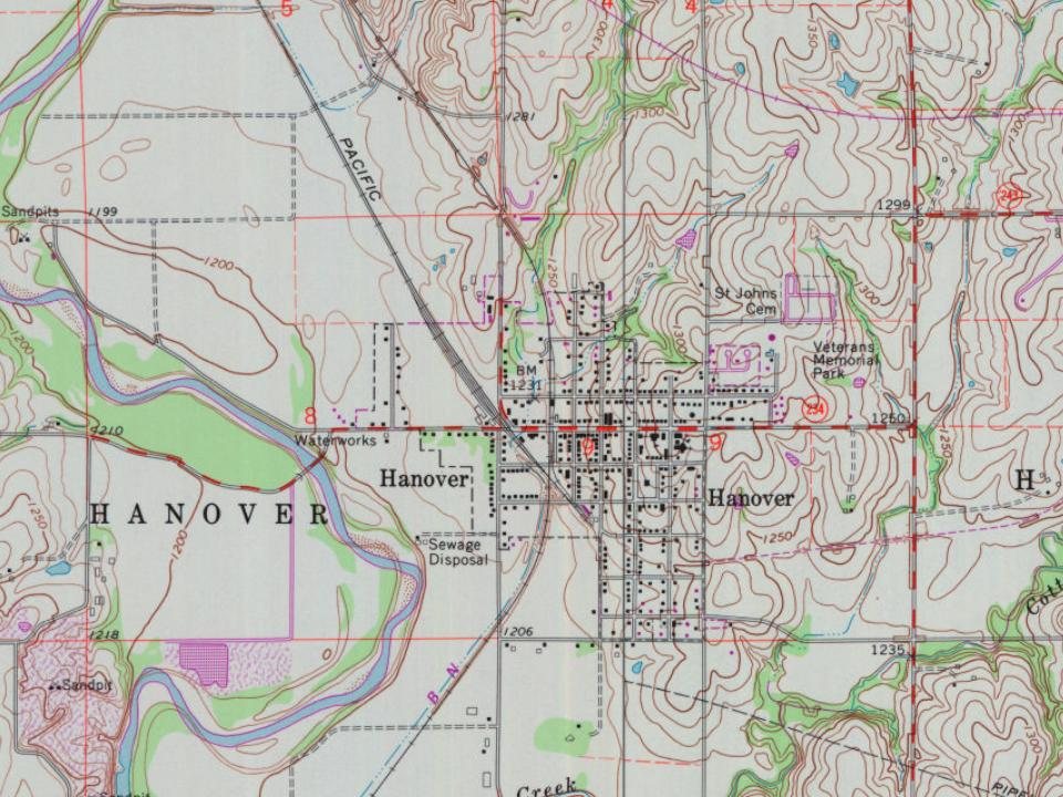
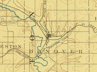
 Date?
 2005
