Nomadic Native Americans, perhaps the Wichita as early as the 1400s and the Osage by the 1700s, would have been present in the area for many centuries. The Trail of Death relocated the Potawatomie to the area in 1838, and they had established subsistence farming at what would become Greeley prior to the arrival of European-Americans.
Passages that mention Greeley, cut from the printed page as they were published.
The history of Anderson County, Kansas, from its first settlement to the Fourth of July, 1876.1877 · page 163Read the page →
Read the text
railroad company that will build said road; said stock to be subscribed on condition that said railroad company shall tirst construct a continuous line of railway from Kansas City, Missouri, via (Jlatha, Paola and Greeley, to the town of Gai-nett, and have said road fully eqiripped with all necessary railway stock to accommodate the business of sai<l road : And i)rovided further. That said railroad company shall erect and maintain their depot
Text read by machine from the scan; it may contain errors.
The history of Anderson County, Kansas, from its first settlement to the Fourth of July, 1876.1877 · page 249Read the page →
Read the text
In the spring of 1857 a postoffice was established at Greeley, and named Walker, and was the first postoffice in the county. Jacob Benjamin was appointed postmaster. A mail route was established in 1857 from Osawatomie, via Walker and Hyatt, to Neosho City. In 1858 the postoffice was removed to Mount Gilead, one mile west of Greeley, and George S. Holt appointed postmaster. The office
Text read by machine from the scan; it may contain errors.
Scans and text from the Internet Archive. Books published in 1930 or earlier, which are in the public domain.
Timeline
Greeley, 1866 to 1894
Woven from the archive, old maps, post office records, the National Register and the people born here.
Founding dates: Wikidata, Wikipedia, the U.S. post office records of Blevins & Helbock (CC0) and the Census. Homes by year built: Census ACS 2020–24. National Register of Historic Places: National Park Service (list of May 22, 2026). Old photos, postcards and papers: Wikimedia Commons, the Library of Congress and other public archives, credited on each item’s page. Maps: U.S. Geological Survey historical topographic maps (via Esri) and Sanborn fire-insurance maps (Library of Congress). History text and census tables: Wikipedia (CC BY-SA 4.0). Places that used to be: USGS Geographic Names Information System (2021). How TownRatings grades history →
From Wikimedia Commons (2), Wikipedia, Wikidata and Wikipedia for famous people, U.S. Geological Survey historical maps, U.S. Census counts (via Wikipedia), the US Post Offices dataset (Blevins & Helbock), the USGS Geographic Names Information System and old county and town histories (Internet Archive). Archive images are copied here with their credits and licenses, shown on each photo’s page. Refreshed monthly.
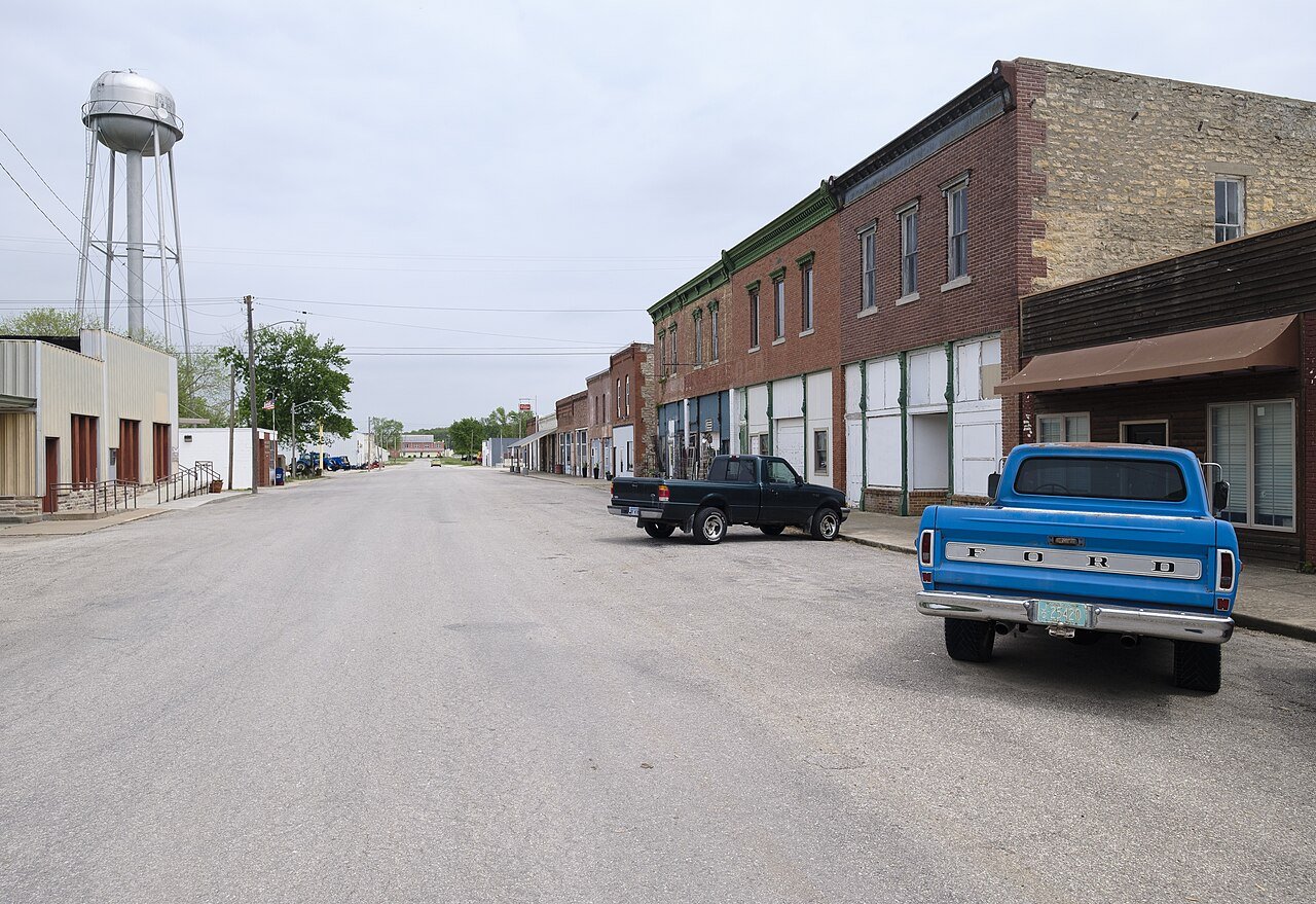


 2022
 2004