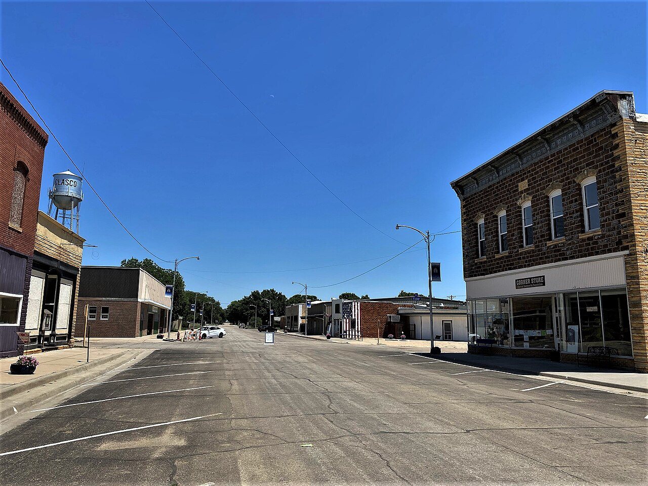
Glasco was originally called Del Ray, and under the latter name was laid out and platted in 1870. The name Glasco was adopted officially by the Kansas legislature in 1878 and incorporated as a city of the third class April 14, 1886, and named after Glasgow, Scotland. Glasco was a shipping point on the Union Pacific railroad.
This small town has two items of interest on the National Register of Historic Places: Pott's Ford Bridge is located just 1/2 mile south of the city limits, and the entire downtown business district has also earned a listing on the register.
Passages that mention Glasco, cut from the printed page as they were published.
Biographical history of Cloud County, Kansas1903 · page 531Read the page →
Read the text
one priest doing the w'ork for both parishes, having his seat of residence at Delphos, that being the most central point among his other missions. The first priest was Father Frederick, who came to Glasco from Beloit and before a residence was established at Delphos. The church was built under his supervision and the congregation consisted of about twenty families. The church seats about one hundred and is getting too small for the congregation.
Text read by machine from the scan; it may contain errors.
Biographical history of Cloud County, Kansas1903 · page 535Read the page →
Read the text
The first game of moment in 1898 was with the Ottawa University at Concordia, and resulted in a score of Glasco eleven, Ottawa nothing. Washburn being none the less daunted by a former defeat, demonstrated their pluck by marching themselves against Glasco in another game. There was but twenty minutes of the game played, and the score stood twenty-eight to nothing in favor of Glasco. A game played with Abilene resulted in a score of Glasco thirty-tw^o, Abilene nothing. With a few minor games the season closed.
Text read by machine from the scan; it may contain errors.
Scans and text from the Internet Archive. Books published in 1930 or earlier, which are in the public domain.
Timeline
Glasco, 1869 to 1960
Woven from the archive, old maps, post office records, the National Register and the people born here.
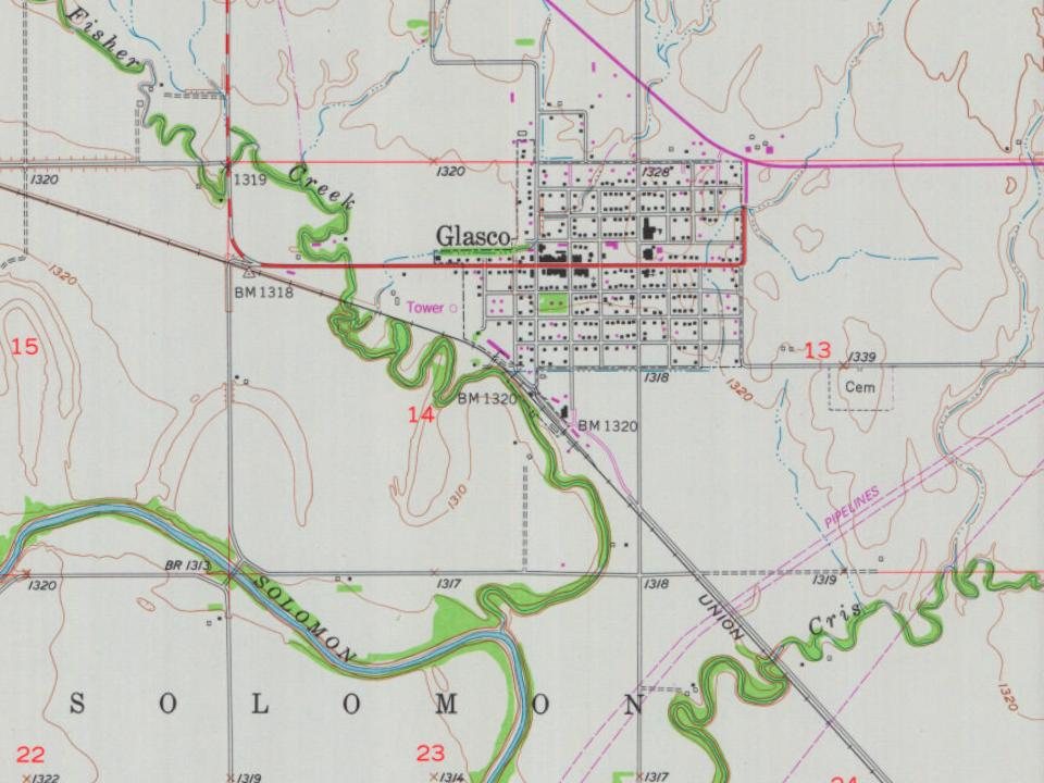
Founding dates: Wikidata, Wikipedia, the U.S. post office records of Blevins & Helbock (CC0) and the Census. Homes by year built: Census ACS 2020–24. National Register of Historic Places: National Park Service (list of May 22, 2026). Old photos, postcards and papers: Wikimedia Commons, the Library of Congress and other public archives, credited on each item’s page. Maps: U.S. Geological Survey historical topographic maps (via Esri) and Sanborn fire-insurance maps (Library of Congress). History text and census tables: Wikipedia (CC BY-SA 4.0). Places that used to be: USGS Geographic Names Information System (2021). How TownRatings grades history →
From Wikimedia Commons (1), Wikidata (1), the National Register of Historic Places (1), Wikipedia, Wikidata and Wikipedia for famous people, U.S. Geological Survey historical maps, U.S. Census counts (via Wikipedia), the US Post Offices dataset (Blevins & Helbock), the USGS Geographic Names Information System and old county and town histories (Internet Archive). Archive images are copied here with their credits and licenses, shown on each photo’s page. Refreshed monthly.




 2004