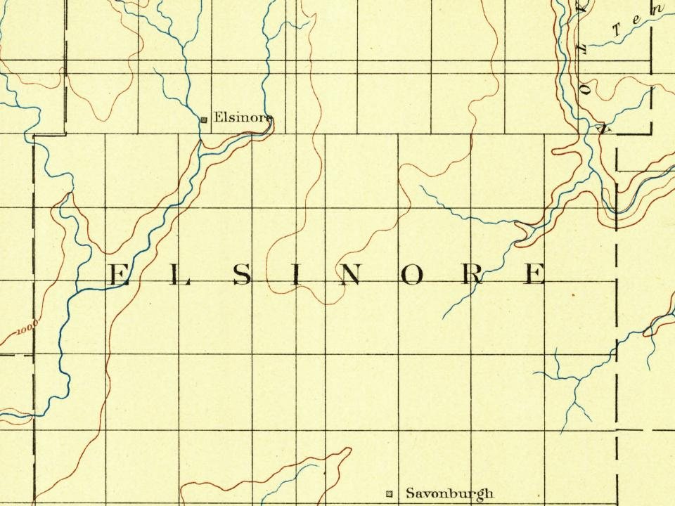
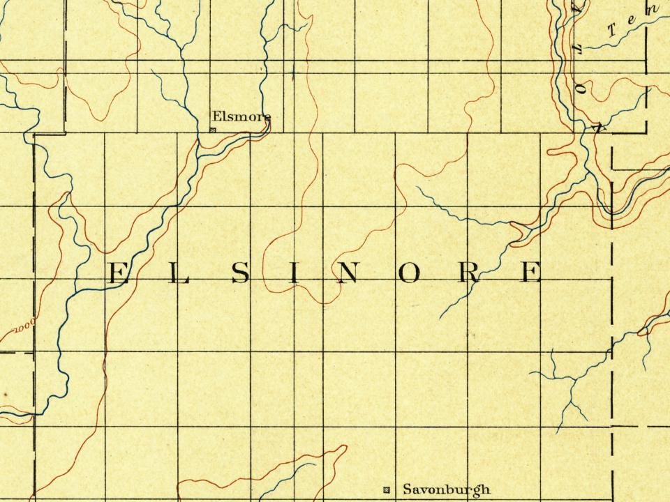
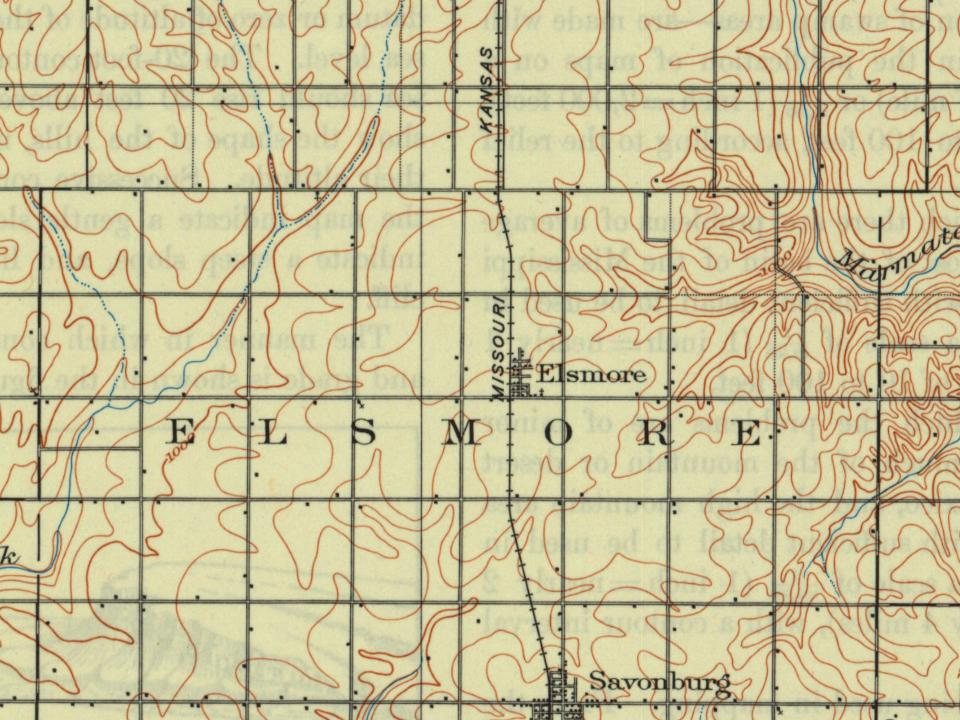
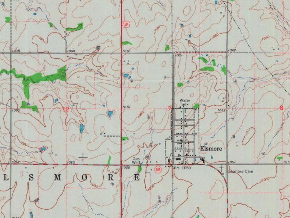
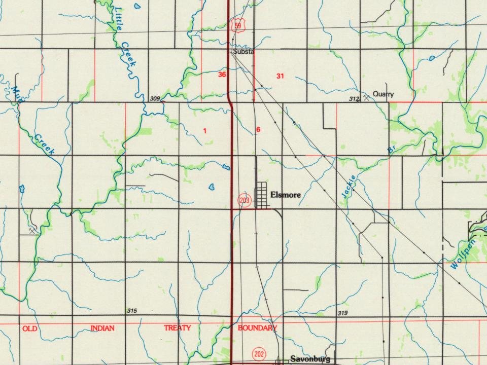
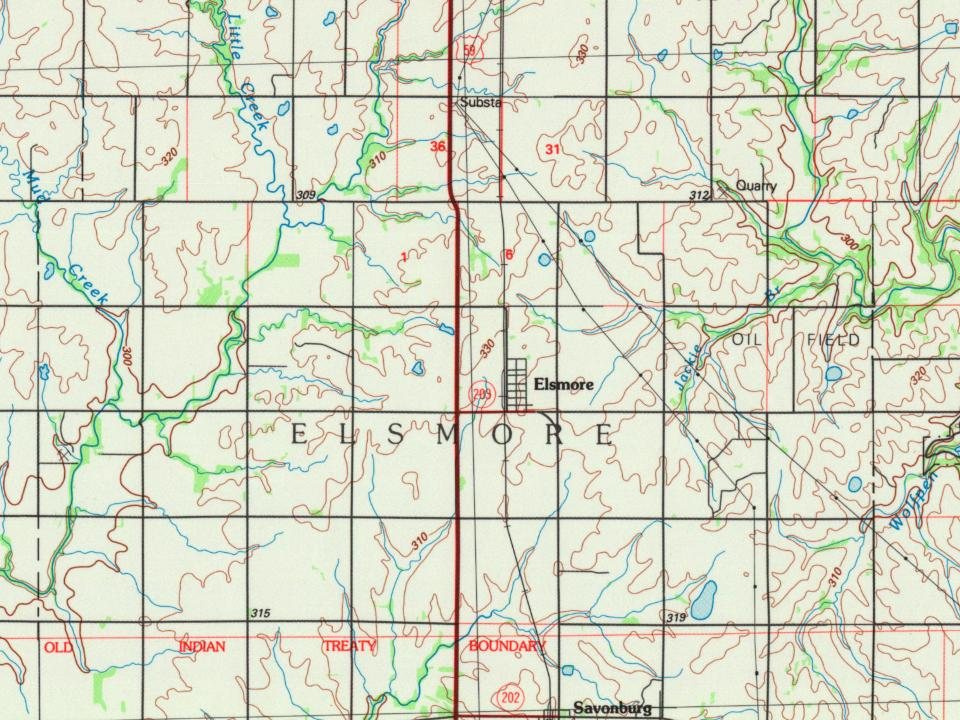
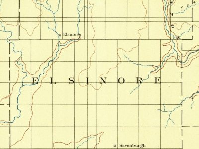
Every edition of the U.S. Geological Survey’s map of Elsmore Township. Tap a year, or press play to watch the town change.
1886Iola sheet · 1:125,000
U.S. Geological Survey historical topographic maps (public domain), via Esri’s collection of the scans. The red ring marks the center of Elsmore Township.
Places that used to be
Lost post offices, places now gone and burying grounds
Two other post offices opened and closed inside today’s town.
Rocklow
1877–1886
Wannersburg
1880–1891
18701950today
Gone or out of use
East Liberty SchoolschoolEast Union SchoolschoolMoline SchoolschoolMount Pleasant ChurchchurchMount Pleasant SchoolschoolOld Elsmore SchoolschoolRocklow SchoolschoolWannersburg SchoolschoolWarnnersburglocale
4cemeteries and burying grounds inside Elsmore Township
ElsmoreHarmonyOld ElsmoreSwedish
US Post Offices dataset (Blevins & Helbock, CC0). Places and cemeteries from the USGS Geographic Names Information System (2021).
The old town of Elsmore, which for several years was the center of attraction for the citizens of Elsmore Township, was located farther west, not far from Big Creek. On August 25, 1888, after the route of the Missouri, Kansas & Texas R.R. from Kansas City to Parsons had been definitely settled, N.L. Ard, J.L. Roberts, J.A. Nicholson, W.D. and H.W. Cox, and O.P. Mattson purchased 20 acres (81,000 m2) where the present town of Elsmore stands, and platted the town. It soon became a popular trading center and shipping point for that section of the county, and in 1909 was incorporated. In 1910 it reported a population of 216 and had a money order post office (first opened in November 1866) with two rural delivery routes, a bank, several good stores, some small manufacturing enterprises, telegraph and express facilities.
Founding dates: Wikidata, Wikipedia, the U.S. post office records of Blevins & Helbock (CC0) and the Census. Homes by year built: Census ACS 2020–24. National Register of Historic Places: National Park Service (list of May 22, 2026). Old photos, postcards and papers: Wikimedia Commons, the Library of Congress and other public archives, credited on each item’s page. Maps: U.S. Geological Survey historical topographic maps (via Esri) and Sanborn fire-insurance maps (Library of Congress). History text and census tables: Wikipedia (CC BY-SA 4.0). Places that used to be: USGS Geographic Names Information System (2021). How TownRatings grades history →
From Wikimedia Commons (1), Wikipedia, U.S. Geological Survey historical maps, U.S. Census counts (via Wikipedia), the US Post Offices dataset (Blevins & Helbock) and the USGS Geographic Names Information System. Archive images are copied here with their credits and licenses, shown on each photo’s page. Refreshed monthly.
 2015