The Courtland post office opened in 1888, the earliest record of the town by name. Another post office, Prospect (1878), opened inside today’s city and later closed.
First census: 267 in 18902020 census: 294138 years
Founding year: the first Courtland post office (Blevins & Helbock, CC0).The full story ↓
What stands out about Courtland’s past
Read from the archive, the National Register and the record. The page puts what stands out first.
The first settlement was made at Courtland in 1885. A post office was opened in Prospect (an extinct town) in 1878, but it was moved to Courtland in 1888. The community was named after Cortland, New York, but may also be named for Courtland, a city near Mankato, Minnesota, which shares the same spelling.
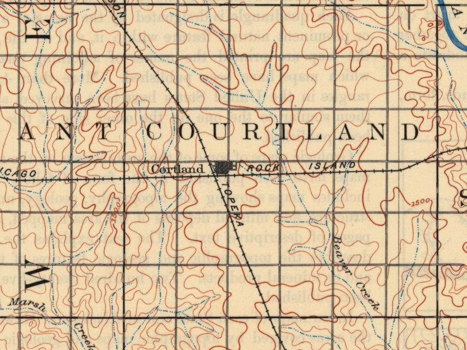
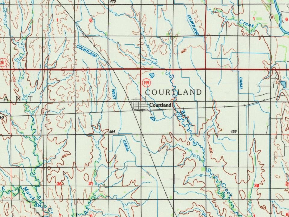
In 1887, Atchison, Topeka and Santa Fe Railway built a branch line from Neva (four miles west of Strong City) through Courtland to Superior, Nebraska. In 1996, the Atchison, Topeka and Santa Fe Railway merged with Burlington Northern Railroad and renamed to the current BNSF Railway. Most locals still refer to this railroad as the "Santa Fe".
Passages that mention Courtland, cut from the printed page as they were published.
A history of Republic county, Kansas1901 · page 172Read the page →
Read the text
Shortly after building the bridge the Santa Fe road was built near the west line of the township and the town of Kackley, as it were, was built almost in our door yard, with the station of Courtland and Oneonta to the north and south of it, thus cutting off a great trade that would have come to us, so that our visions of the paved streets, brick blocks, shining minarets and golden towers, (and how mad we would get because people would continue to put
Text read by machine from the scan; it may contain errors.
A history of Republic county, Kansas1901 · page 86Read the page →
Read the text
ship; runs southwest to Belleville, where the two unite and form the main line to Denver. The stations on this Une are Narka and Munden. On the Main line west the stations are Belleville, Rydal, Scandia and Courtland. The mileage on both lines is fifty -four and ninety-otieone hundredths, and the assessed valuation for 1901 is $421,336.
Text read by machine from the scan; it may contain errors.
Scans and text from the Internet Archive. Books published in 1930 or earlier, which are in the public domain.
Timeline
Courtland, 1878 to 1910
Woven from the archive, old maps, post office records, the National Register and the people born here.
Fire insurance maps drew every building, what it was made of and what it was used for, so insurers could price the risk of fire. Pick a year, then a sheet.
1905Sheet 1 of 1
Edition
Sheets
BrickWoodStone
Sanborn Map Company, via the Library of Congress. Editions published in 1930 or earlier, which are in the public domain.
Places that used to be
Lost post offices
Courtland’s post office has been open since 1888. Another post office, Prospect, opened and closed inside today’s town.
Prospect
1878–1888
Courtland
1888–today
18701950today
US Post Offices dataset (Blevins & Helbock, CC0). Places and cemeteries from the USGS Geographic Names Information System (2021).
Questions about Courtland’s history
What year was Courtland founded?
The Courtland post office opened in 1888, the earliest record of the town by name (U.S. post office records).
Founding dates: Wikidata, Wikipedia, the U.S. post office records of Blevins & Helbock (CC0) and the Census. Homes by year built: Census ACS 2020–24. National Register of Historic Places: National Park Service (list of May 22, 2026). Old photos, postcards and papers: Wikimedia Commons, the Library of Congress and other public archives, credited on each item’s page. Maps: U.S. Geological Survey historical topographic maps (via Esri) and Sanborn fire-insurance maps (Library of Congress). History text and census tables: Wikipedia (CC BY-SA 4.0). Places that used to be: USGS Geographic Names Information System (2021). How TownRatings grades history →
From Wikimedia Commons (6), Wikipedia, U.S. Geological Survey historical maps, U.S. Census counts (via Wikipedia), the US Post Offices dataset (Blevins & Helbock), the USGS Geographic Names Information System, Sanborn fire insurance maps (Library of Congress) and old county and town histories (Internet Archive). Archive images are copied here with their credits and licenses, shown on each photo’s page. Refreshed monthly.



 2020
 2014
 2014
 2014
 2014
 2012
