Prior to American expansion and occupation, the region was controlled by Cheyenne, Pawnee, and Kiowa tribes. The Santa Fe Trail contributed to American settlement in Barton County, as it did throughout Kansas and much of the southern Great Plains.
The first settlement claim recorded in the area of Claflin was made by George Platt in 1870. This claim was divided and re-entered, eventually being sold to J. H. Williamson in 1875, and becoming the town of Claflin.
The community was officially organized in response to Missouri Pacific Railroad plans for a branch line to come through the area.
Nothing in the archives for these yearsWeddings on Main Street, storms, parades, school pictures, the old store. If it’s in your family album, it belongs here.
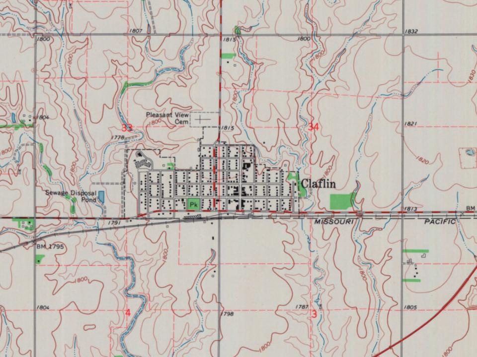
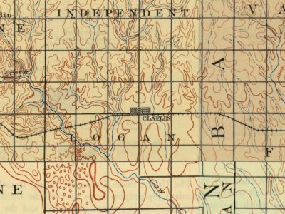
Founding dates: Wikidata, Wikipedia, the U.S. post office records of Blevins & Helbock (CC0) and the Census. Homes by year built: Census ACS 2020–24. National Register of Historic Places: National Park Service (list of May 22, 2026). Old photos, postcards and papers: Wikimedia Commons, the Library of Congress and other public archives, credited on each item’s page. Maps: U.S. Geological Survey historical topographic maps (via Esri) and Sanborn fire-insurance maps (Library of Congress). History text and census tables: Wikipedia (CC BY-SA 4.0). Places that used to be: USGS Geographic Names Information System (2021). How TownRatings grades history →
From Wikimedia Commons (5), Wikipedia, U.S. Geological Survey historical maps, U.S. Census counts (via Wikipedia), the US Post Offices dataset (Blevins & Helbock) and the USGS Geographic Names Information System. Archive images are copied here with their credits and licenses, shown on each photo’s page. Refreshed monthly.




 2014
 2014
 2014
 2010

