From the 1820s to the 1870s, one of the most significant land routes in the United States was the Santa Fe Trail. It was located approximately 3 miles (4.8 km) north of Burdick. A large stone stage station, named "Six Mile Stage Station" was built at this location as a rest stop. In 1863, Charles Atkinson witnessed a raid on this station conducted by approximately 600 Cheyenne Indians. DAR Marker #29 was dedicated on October 9, 1908, at this location.
In 1854, the Kansas Territory was organized, then in 1861 Kansas became the 34th U.S. state. In 1859, Morris County was established within the Kansas Territory, which included the land for modern day Burdick.
Nothing in the archives for these yearsWeddings on Main Street, storms, parades, school pictures, the old store. If it’s in your family album, it belongs here.
Founding dates: Wikidata, Wikipedia, the U.S. post office records of Blevins & Helbock (CC0) and the Census. Homes by year built: Census ACS 2020–24. National Register of Historic Places: National Park Service (list of May 22, 2026). Old photos, postcards and papers: Wikimedia Commons, the Library of Congress and other public archives, credited on each item’s page. Maps: U.S. Geological Survey historical topographic maps (via Esri) and Sanborn fire-insurance maps (Library of Congress). History text and census tables: Wikipedia (CC BY-SA 4.0). Places that used to be: USGS Geographic Names Information System (2021). How TownRatings grades history →
From Wikimedia Commons (1), Wikipedia and U.S. Geological Survey historical maps. Archive images are copied here with their credits and licenses, shown on each photo’s page. Refreshed monthly.


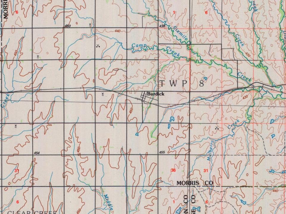
 1893