Passages that mention Beattie, cut from the printed page as they were published.
History of Marshall County, Kansas1917 · page 483Read the page →
Read the text
Michael's church and Beattie as a mission, services between the two points being equally divided. In 1909 Father Taton built the parochial residence at Beattie and in the fall of that year the Beattie mission was given over to the Rev. Father Galvin, who became its pastor. On November 8, 1904, work on the new St. Michael's church at Axtell was begun and in the spring of 1905 the corner stone was laid. On April 24, 1906, the church was dedicated, the total cost of the same being nearly twenty-two thousand dollars.
Text read by machine from the scan; it may contain errors.
Li the spring of 1871 a depot was moved to Beattie from El wood, Doniphan county, and that same summer J. J. Sheldon moved a house on the townsite and lived in it.
Text read by machine from the scan; it may contain errors.
Scans and text from the Internet Archive. Books published in 1930 or earlier, which are in the public domain.
Timeline
Beattie, 1870 to 1890
Woven from the archive, old maps, post office records, the National Register and the people born here.
Fire insurance maps drew every building, what it was made of and what it was used for, so insurers could price the risk of fire. Pick a year, then a sheet.
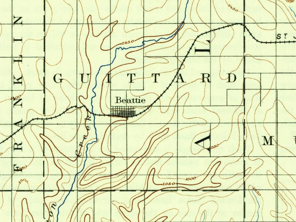
Founding dates: Wikidata, Wikipedia, the U.S. post office records of Blevins & Helbock (CC0) and the Census. Homes by year built: Census ACS 2020–24. National Register of Historic Places: National Park Service (list of May 22, 2026). Old photos, postcards and papers: Wikimedia Commons, the Library of Congress and other public archives, credited on each item’s page. Maps: U.S. Geological Survey historical topographic maps (via Esri) and Sanborn fire-insurance maps (Library of Congress). History text and census tables: Wikipedia (CC BY-SA 4.0). Places that used to be: USGS Geographic Names Information System (2021). How TownRatings grades history →
From Wikimedia Commons (7), Wikipedia, Wikidata and Wikipedia for famous people, U.S. Geological Survey historical maps, U.S. Census counts (via Wikipedia), the US Post Offices dataset (Blevins & Helbock), the USGS Geographic Names Information System, Sanborn fire insurance maps (Library of Congress) and old county and town histories (Internet Archive). Archive images are copied here with their credits and licenses, shown on each photo’s page. Refreshed monthly.



 2014
 2008
 2008
 2008
 2008
 2008
 2004
