In 1875, T.A. Andrews and J.M. Matheny traveled to Rawlins County and started a town site about two miles east of the current city. The city of Attwood (with two t's) was named after Attwood Matheny, the 14-year-old son who accompanied his father on the journey. In 1882, the U.S. Post Office requested permission to drop one "t" thus becoming Atwood. In 1881, Atwood became the county seat of Rawlins County.
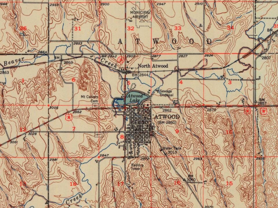
Every edition of the U.S. Geological Survey’s map of Atwood Township. Tap a year, or press play to watch the town change.
1951Atwood sheet · 1:62,500
U.S. Geological Survey historical topographic maps (public domain), via Esri’s collection of the scans. The red ring marks the center of Atwood Township.
On the National Register
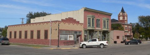
1 historic place in Atwood Township
The country’s official list of buildings and places worth saving.
place listed
1
National Historic Landmarks
0
none yet
historic buildings protected
1
each building in a district counts
National Park Service, National Register of Historic Places. Photos from Wikimedia Commons, credited on each place’s page.
Questions about Atwood Township’s history
What year was Atwood Township founded?
In 1875, according to Wikidata. Atwood Township’s post office opened in 1879, and the census of 1890 counted 450 people here.
Founding dates: Wikidata, Wikipedia, the U.S. post office records of Blevins & Helbock (CC0) and the Census. Homes by year built: Census ACS 2020–24. National Register of Historic Places: National Park Service (list of May 22, 2026). Old photos, postcards and papers: Wikimedia Commons, the Library of Congress and other public archives, credited on each item’s page. Maps: U.S. Geological Survey historical topographic maps (via Esri) and Sanborn fire-insurance maps (Library of Congress). History text and census tables: Wikipedia (CC BY-SA 4.0). Places that used to be: USGS Geographic Names Information System (2021). How TownRatings grades history →
From Wikimedia Commons (7), Wikidata (1), Wikipedia, U.S. Geological Survey historical maps, U.S. Census counts (via Wikipedia) and the USGS Geographic Names Information System. Archive images are copied here with their credits and licenses, shown on each photo’s page. Refreshed monthly.

 2022
 2022
 2022
 2022
 2014
 2013
 2010