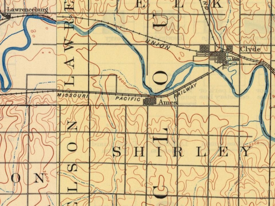
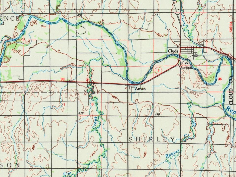
A post office was opened in Shirley in 1868 (also known as Elm Creek, it is now part of Shirley Township, averaging a population of 40), but the post office was moved to Ames in 1878 and remained in operation until it was discontinued in 1993.
Passages that mention Ames, cut from the printed page as they were published.
Biographical history of Cloud County, Kansas1903 · page 277Read the page →
Read the text
One of the pioneers of 1867 is James Clithero, now an esteemed citizen of Concordia. He settled in Elk township and homesteaded land adjoining the site of the present town of Ames. He remained through the Indian uprisings and was among the settlers concentrated at the claim of A. A. Bradford, where they joined their forces to protect each other, and while inmates of the little fort slept within, some one of the settlers was detailed to stand guard on the outside. "Jerry" was a colored man. whom Mr. Bradford had with him all through the war. and \\ho followed his master on to
Text read by machine from the scan; it may contain errors.
Biographical history of Cloud County, Kansas1903 · page 880Read the page →
Read the text
S. H. Hooper is the leading merchant and only general store in the town at present. He carries a large and well selected stock of goods, and draws trade from the greater part of the community surrounding the village. Ames once had a bank incorporated under the name of Ames State Bank, in September, 1885, with \V. D. Rice, president, O. F. Page, vice-president, W. F.
Text read by machine from the scan; it may contain errors.
Scans and text from the Internet Archive. Books published in 1930 or earlier, which are in the public domain.
By decade
No old photos in the archives yet
Weddings on Main Street, storms, parades, school pictures, the old store. If it’s in your family album, it belongs here.
Be the first to add onePhotograph a print flat, in daylight, no flash.
Founding dates: Wikidata, Wikipedia, the U.S. post office records of Blevins & Helbock (CC0) and the Census. Homes by year built: Census ACS 2020–24. National Register of Historic Places: National Park Service (list of May 22, 2026). Old photos, postcards and papers: Wikimedia Commons, the Library of Congress and other public archives, credited on each item’s page. Maps: U.S. Geological Survey historical topographic maps (via Esri) and Sanborn fire-insurance maps (Library of Congress). History text and census tables: Wikipedia (CC BY-SA 4.0). Places that used to be: USGS Geographic Names Information System (2021). How TownRatings grades history →
From Wikipedia, U.S. Geological Survey historical maps and old county and town histories (Internet Archive). Archive images are copied here with their credits and licenses, shown on each photo’s page. Refreshed monthly.