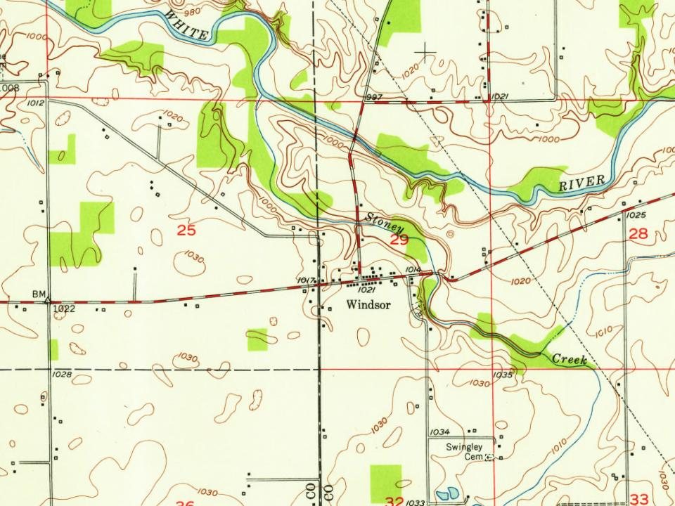
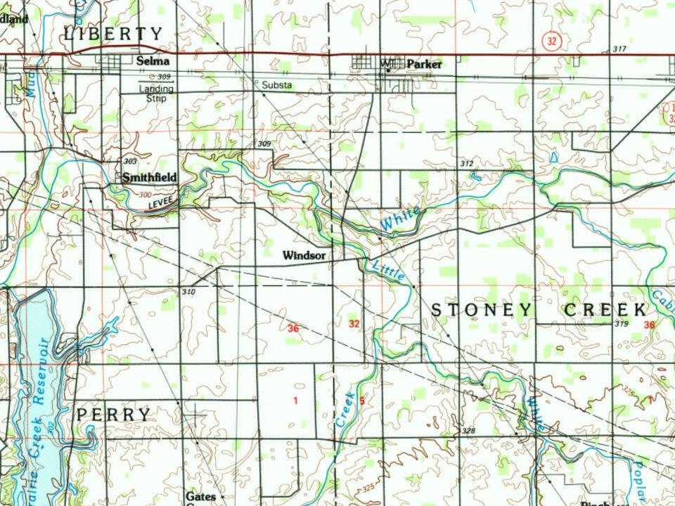
Windsor was laid out on January 30, 1832. The community most likely was named after Windsor Castle. A post office was established at Windsor in 1831, and remained in operation until it was discontinued in 1898.
" Section 4. All property now owned and possessed by the town of Windsor, shall be owned and enjoyed by the said towns of Windsor and West Windsor, in proportion to the grand lists of the persons residing within the territorial limits of said towns of Windsor and West Windsor, respectively, for the year 1848; and the debts now due from the town of Windsor shall be paid by the said towns of Windsor and West Windsor, hereby incorporated, in the same proportion.
Text read by machine from the scan; it may contain errors.
History of Windsor county, Vermont1891 · page 104Read the page →
Read the text
The town of West Windsor is the junior of the sub-divisions of the county, its separation from the township of Windsor having been effected first in 1 8 14, but restored during the next year. Again, in 1848, the town of Windsor was divided, and West Windsor set off". The act of the Legislature that effected the last division was passed October 26, 1848.
Text read by machine from the scan; it may contain errors.
Scans and text from the Internet Archive. Books published in 1930 or earlier, which are in the public domain.
By decade
No old photos in the archives yet
Weddings on Main Street, storms, parades, school pictures, the old store. If it’s in your family album, it belongs here.
Be the first to add onePhotograph a print flat, in daylight, no flash.
Founding dates: Wikidata, Wikipedia, the U.S. post office records of Blevins & Helbock (CC0) and the Census. Homes by year built: Census ACS 2020–24. National Register of Historic Places: National Park Service (list of May 22, 2026). Old photos, postcards and papers: Wikimedia Commons, the Library of Congress and other public archives, credited on each item’s page. Maps: U.S. Geological Survey historical topographic maps (via Esri) and Sanborn fire-insurance maps (Library of Congress). History text and census tables: Wikipedia (CC BY-SA 4.0). Places that used to be: USGS Geographic Names Information System (2021). How TownRatings grades history →
From Wikipedia, U.S. Geological Survey historical maps and old county and town histories (Internet Archive). Archive images are copied here with their credits and licenses, shown on each photo’s page. Refreshed monthly.