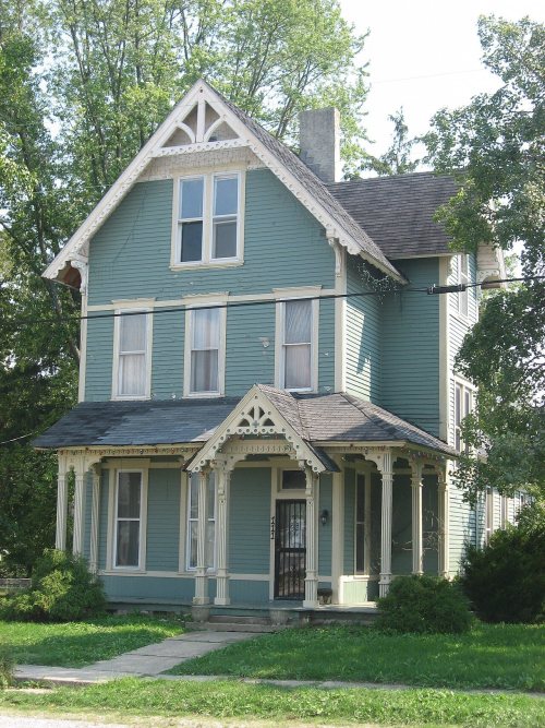
Waveland’s post office opened in 1832, and 72% of its homes were built before 1940
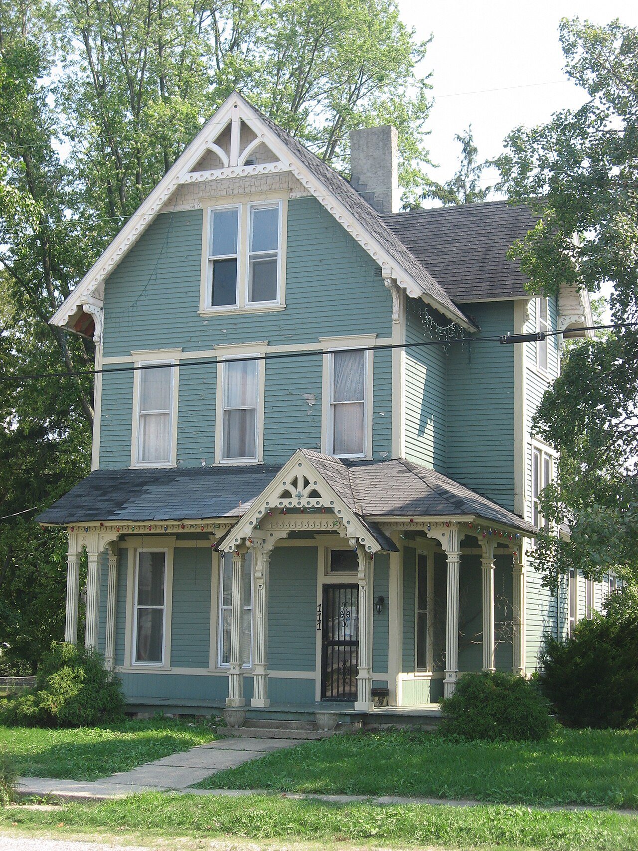
Its Register listings are the George Seybold House and the T.C. Steele Boyhood Home. Its Register listings are the George Seybold House and the T.C. Steele Boyhood Home. Below: maps from 1895 on and the census since 1880.
Waveland was platted by John Milligan in 1835. The settlement began as a resting place at a good spring between Terre Haute and Lafayette, Indiana. After a trading post and post office were established, Milligan developed the surrounding property. By 1850, the town had three general stores, three churches, two inns, two wagon shops and a blacksmith.
Montgomery county is fortunate in having within her borders a large number of professional men of a high order, among whom consistently appears the name of John O. Rosebaum, one of the \ounger leaders of the bar, who maintains an office in the town of Waveland, in connection with his extensive business life, fire and accident insurance, and in whicii ])art ot the county he is a leader in political affairs. He is widel\ known throughout this section and is rapidly forging to tlie front, being a man of energy, strong mental, honorable impulses and a ])leasant ])ersouality. lie enjoys
Text read by machine from the scan; it may contain errors.
Francis W. Kritz, whose name heads this article, grew to manhood in Waveland and he had the advantages of an excellent education. After passing through the Waveland Academy he entered Wabash College where he remained two years, later studied medicine two years, but has never practiced.
Text read by machine from the scan; it may contain errors.
Scans and text from the Internet Archive. Books published in 1930 or earlier, which are in the public domain.
Every edition of the U.S. Geological Survey’s map of Waveland. Tap a year, or press play to watch the town change.
1961Alamo sheet · 1:24,000
U.S. Geological Survey historical topographic maps (public domain), via Esri’s collection of the scans. The red ring marks the center of Waveland.
Every building
Waveland, building by building, 1895–1902
Fire insurance maps drew every building, what it was made of and what it was used for, so insurers could price the risk of fire. Pick a year, then a sheet.
1895Sheet 1 of 1
Edition
Sheets
BrickWoodStone
Sanborn Map Company, via the Library of Congress. Editions published in 1930 or earlier, which are in the public domain.
On the National Register
2 historic places in Waveland
The country’s official list of buildings and places worth saving.
Founding dates: Wikidata, Wikipedia, the U.S. post office records of Blevins & Helbock (CC0) and the Census. Homes by year built: Census ACS 2020–24. National Register of Historic Places: National Park Service (list of May 22, 2026). Old photos, postcards and papers: Wikimedia Commons, the Library of Congress and other public archives, credited on each item’s page. Maps: U.S. Geological Survey historical topographic maps (via Esri) and Sanborn fire-insurance maps (Library of Congress). History text and census tables: Wikipedia (CC BY-SA 4.0). Places that used to be: USGS Geographic Names Information System (2021). How TownRatings grades history →
From Wikimedia Commons (8), the National Register of Historic Places (2), Wikipedia, U.S. Geological Survey historical maps, U.S. Census counts (via Wikipedia), the US Post Offices dataset (Blevins & Helbock), the USGS Geographic Names Information System, Sanborn fire insurance maps (Library of Congress) and old county and town histories (Internet Archive). Archive images are copied here with their credits and licenses, shown on each photo’s page. Refreshed monthly.


 2020
 2012
 2012
 2011
 2009
 2008
 2008
 2008