Wabash dates to 1834, and 37% of its homes were built before 1940
More historic than 98% of U.S. towns · #31 of 593 in Indiana. What drives it
11 places in town are on the National Register, among them four historic districts with 673 buildings between them. Below: 4 old photos and papers, maps from 1887 on, and the census since 1850.
Founding year: Wikipedia. First post office: 1839.The full story ↓
History grade
What drives Wabash’s History grade
On its age, its old homes and the National Register, Wabash is more historic than 98% of U.S. towns, #31 of 593 in Indiana. All 3 inputs are above most U.S. towns; its National Register listings ranks highest and its age lowest.
A+
HistoryA character grade: shown, never part of Wabash’s overall grade.
Indiana towns list more on the Register than most of the country (a typical Indiana town has 7.9 per 10,000 residents, the U.S. 2.4), so Wabash’s 657 sits above most of its state (96% of Indiana towns have fewer) while its 681 historic buildings outnumber those of 98% of U.S. towns.
How sure. Graded on any two of the three inputs instead, the letter would range from A to A+. The pre-1940 share is a Census survey estimate (±5.1 points). Two sources give 1834.
Founding year: Wikipedia (other dates in Quick answers). Homes: Census ACS 2020–24. National Register: National Park Service, May 2026 list; each listing counted once (boundary changes and added documentation belong to their listing), and a historic district counts its contributing buildings. How TownRatings grades history →
What stands out about Wabash’s past
Read from the archive, the National Register and the record. The page puts what stands out first.
Fire insurance maps drew every building, what it was made of and what it was used for, so insurers could price the risk of fire. Pick a year, then a sheet.
The first settlers to arrive in Wabash was in 1829 as a result of the treaty of Paradise Spring. The town of Wabash was platted in the spring of 1834 by Col. Hugh Hanna and Col. David Burr. The community was designated as the county seat, and it was incorporated in 1834. The town prospered due to its proximity to the Wabash and Erie Canal. In 1870 the Wabash County Courthouse and most of downtown was destroyed in a fire. However, the resilience of the city led Wabash to recover. The construction of the Big Four Railway brought even more growth to the small town but led to the neglect of the canal.
cuuntrv, and the advantages it aflbrded to people to rise in the world, that he decided to remain. He stopped in Ohio and learned the trade of stone-cntting at Little Falls, between Piqua and Dayton. When the Wabash railroad was built to Attica he was employed to put up the piers for the bridge across the Wabash, and during his short residence conceived such a liking for the jilaco tint 1rsettled here. He was engaged in stone-cutting and bridge-building as long as he lived ; he did work on buildings and country bridges, but was chietly em-
Text read by machine from the scan; it may contain errors.
Historical sketches of the Wabash Valley1916 · page 139Read the page →
Read the text
Hannegan was very fond of the Wabash Valley and the Wabash river. Often he would leave Washington during a session of Congress to go home and fish and hunt and regain his health along the banks of the Wabash. Once he said to a friend, "Come go home with me and let me show you the
Text read by machine from the scan; it may contain errors.
Historical sketches of the Wabash Valley1916 · page 149Read the page →
Read the text
Soon after the Civil war some forward looker evolved the dream of a north and south railroad thru the lower "Wabash Valley, to Attica and thence north across the prairies to Chicago. The Toledo and Western (now the Wabash Eailway) had been in operation only a few years but was prospering and
Text read by machine from the scan; it may contain errors.
toe lives of the Frenchmen that the latter fled, leaving behind their effects and 13,000 buffalo hides which they had collected. Some years later Father Marest, writing from Kaskaskia, in his letter before referred to, relates the failure of Father Merment to convert the Indians at th'xs " post on the Wabash "; and on the authority of this letter alone, and although Father Marest only followed the prevailing style in calling the lower Ohio the Wabash, some writers, the late Judge John Law being the first, have contended that this post was on the Wabash and at Vincennes. Charlevoix says "it was at the mouth of the Wabash which discharges itself into the Mississippi." La
Text read by machine from the scan; it may contain errors.
Scans and text from the Internet Archive. Books published in 1930 or earlier, which are in the public domain.
Timeline
Wabash, 1834 to 1968
Woven from the archive, old maps, post office records, the National Register and the people born here.
Nothing in the archives for these yearsWeddings on Main Street, storms, parades, school pictures, the old store. If it’s in your family album, it belongs here.
Nothing in the archives for these yearsWeddings on Main Street, storms, parades, school pictures, the old store. If it’s in your family album, it belongs here.
US Post Offices dataset (Blevins & Helbock, CC0). Places and cemeteries from the USGS Geographic Names Information System (2021).
Questions about Wabash’s history
What year was Wabash founded?
In 1834, according to Wikipedia’s history of the town. Wabash’s post office opened in 1839, and the census of 1850 counted 966 people here.
How does Wabash rank for history?
Wabash is more historic than 98% of U.S. towns, #31 of 593 in Indiana. The History grade combines the town’s founding era, the share of homes built before 1940 and its National Register listings. It’s a character grade, so it isn’t part of the overall grade. How it works.
What is on the National Register in Wabash?
11 listings: 7 buildings, among them the First Christian Church (listed 1983, the first), and 4 historic districts with 673 contributing buildings. 681 historic buildings in all.
How old are the homes in Wabash?
37% of Wabash’s homes were built before 1940 (Census estimate, ±5.1 points), against a typical 14% for an Indiana town; the median home was built in 1954.
Founding dates: Wikidata, Wikipedia, the U.S. post office records of Blevins & Helbock (CC0) and the Census. Homes by year built: Census ACS 2020–24. National Register of Historic Places: National Park Service (list of May 22, 2026). Old photos, postcards and papers: Wikimedia Commons, the Library of Congress and other public archives, credited on each item’s page. Maps: U.S. Geological Survey historical topographic maps (via Esri) and Sanborn fire-insurance maps (Library of Congress). History text and census tables: Wikipedia (CC BY-SA 4.0). Places that used to be: USGS Geographic Names Information System (2021).
From Wikimedia Commons (4), Wikidata (2), the National Register of Historic Places (11), Wikipedia, Wikidata and Wikipedia for famous people, U.S. Geological Survey historical maps, U.S. Census counts (via Wikipedia), the US Post Offices dataset (Blevins & Helbock), the USGS Geographic Names Information System, Sanborn fire insurance maps (Library of Congress) and old county and town histories (Internet Archive). Archive images are copied here with their credits and licenses, shown on each photo’s page. Refreshed monthly.


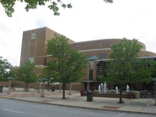
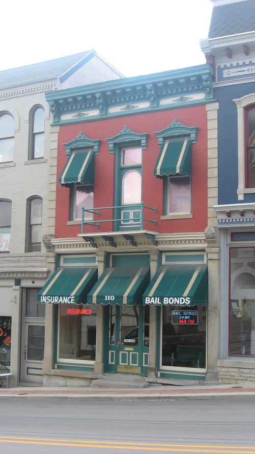
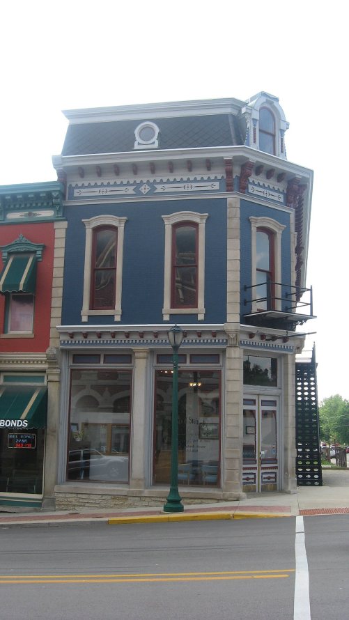


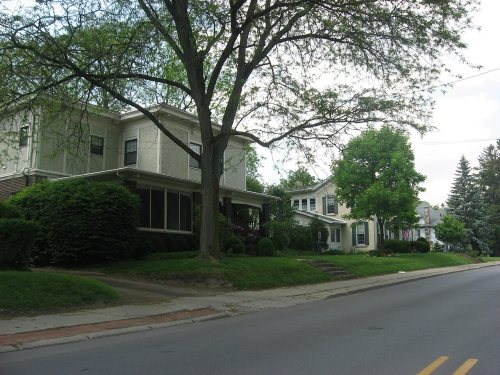


 1968


