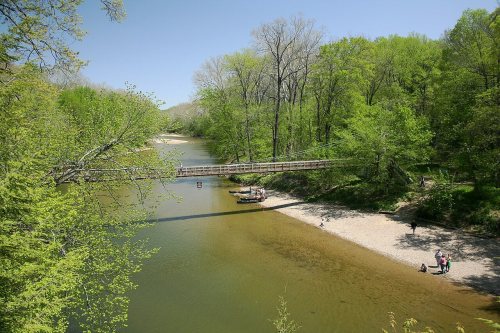
5 of Sugar Creek Township’s places are on the National Register
Most of Sugar Creek Township was built recently: 0.0% of its homes predate 1940 and the median home dates from 1983. Below: maps from 1948 on and the census since 1890.
The Lancelot C. Ewbank House, Richard Lieber Log Cabin, Lusk Home and Mill Site, Narrows Covered Bridge, and Wilkins Mill Covered Bridge are listed on the National Register of Historic Places.
Every edition of the U.S. Geological Survey’s map of Sugar Creek Township. Tap a year, or press play to watch the town change.
1948Wallace sheet · 1:24,000
U.S. Geological Survey historical topographic maps (public domain), via Esri’s collection of the scans. The red ring marks the center of Sugar Creek Township.
People over time
Sugar Creek Township, census by census
Between 265 and 830 people in every census since 1890.
14 censuses, 1890–2020.
U.S. Census Bureau decennial counts, from the census table on Sugar Creek Township’s Wikipedia page.
Famous people
Famous people close to Sugar Creek Township
Nobody well known was born in Sugar Creek Township itself, so here are the best known from just nearby.
What is on the National Register in Sugar Creek Township?
5 listings: 1 building, 1 historic district, the Turkey Run State Park, with 26 contributing buildings, 1 site, and 2 structures. 29 historic buildings in all.
Founding dates: Wikidata, Wikipedia, the U.S. post office records of Blevins & Helbock (CC0) and the Census. Homes by year built: Census ACS 2020–24. National Register of Historic Places: National Park Service (list of May 22, 2026). Old photos, postcards and papers: Wikimedia Commons, the Library of Congress and other public archives, credited on each item’s page. Maps: U.S. Geological Survey historical topographic maps (via Esri) and Sanborn fire-insurance maps (Library of Congress). History text and census tables: Wikipedia (CC BY-SA 4.0). Places that used to be: USGS Geographic Names Information System (2021). How TownRatings grades history →
From Wikidata (1), the National Register of Historic Places (5), Wikipedia, U.S. Geological Survey historical maps, U.S. Census counts (via Wikipedia), the US Post Offices dataset (Blevins & Helbock) and the USGS Geographic Names Information System. Archive images are copied here with their credits and licenses, shown on each photo’s page. Refreshed monthly.