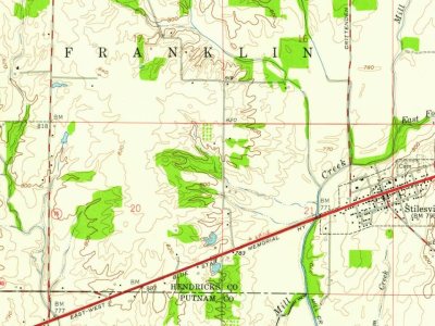
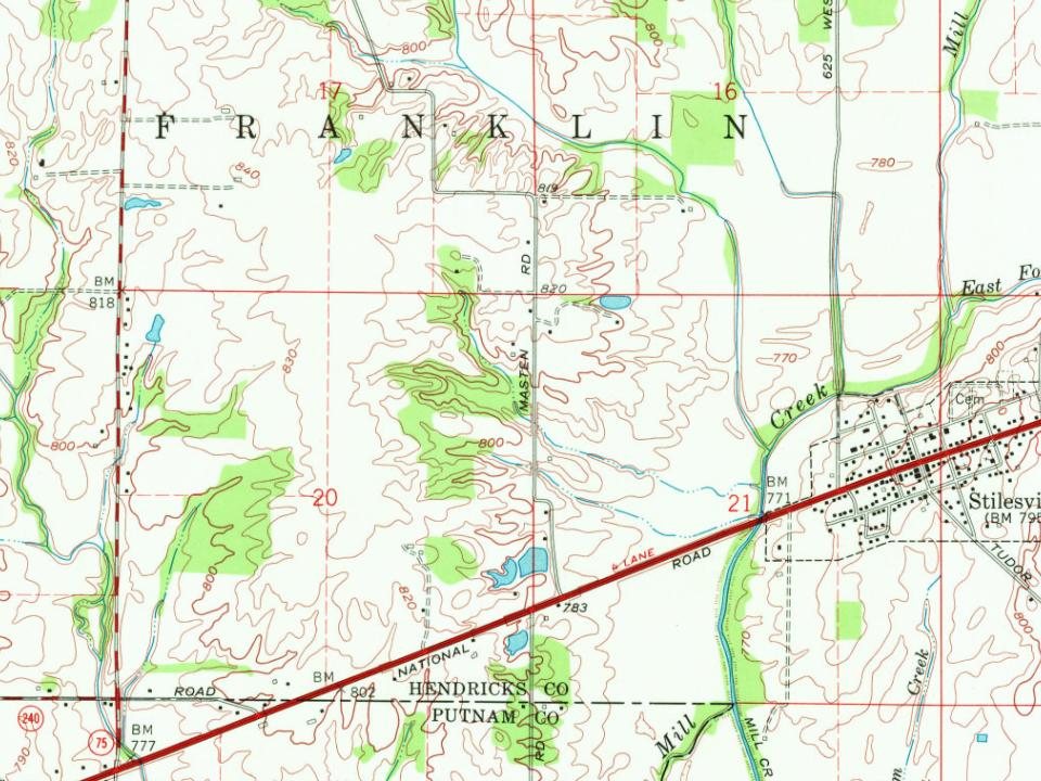
Stilesville was laid out in 1828. It was named for Jeremiah Stiles, a pioneer settler. The National Road was built through Stilesville in 1830. The town of Stiles, Wisconsin is named after the town.
Passages that mention Stilesville, cut from the printed page as they were published.
History of Hendricks County, Indiana, her people, industries and institutions1914 · page 73Read the page →
Read the text
Stilesville was laid off as a \'illage in 1828 and a small settlement started. The opening of the national road through this county, in 1830, passing directly through Stilesville, made the town of some importance in the early day, but now the place has been forced to the rear by the absence of either
Text read by machine from the scan; it may contain errors.
History of Hendricks County, Indiana, together with sketches of its cities, villages and towns, educational, religious, civil, military, and political history, portraits of prominent persons, and biographies of representative citizens1885Read the page →
Read the text
The opening of the National Koad through this county in 1830, passing directly through Stilesville, made this point of some importance. It was a station at which all emigrants to the great West aimed to take a dinner or a night's lodging. The village prospered, and, though in time it lost its relative importance, it has held its own in population, having now 350 inhabitants. There is not a village in Indiana t lat has a more orderly, intelligent and kindly population than Stilesville. All the place needs is a rail-
Text read by machine from the scan; it may contain errors.
History of Hendricks County, Indiana, together with sketches of its cities, villages and towns, educational, religious, civil, military, and political history, portraits of prominent persons, and biographies of representative citizens1885Read the page →
Read the text
1835. At this mill the Cliristian church was organized by Tiiomas Lockhart, in 1832. There are at present five churches in the township— Christian, Methodist, Presbyterian, Missionary and Regular Baptist. Three of these are in the village of Stilesville. In comparison with the otiier townships, it stands ninth in area, tenth in wealth, ninth in the number of inhabitants and eighth in the derisity of its population. It is tlie only township in the county that is not touched by a railroad.
Text read by machine from the scan; it may contain errors.
History of Hendricks County, Indiana1885 · page 592Read the page →
Read the text
The opening of the National Road through this county in 1830, passing directly through Stilesville, made this point of some im¬ portance. It was a station at which all emigrants to the great West aimed to take a dinner or a night’s lodging. The village prospered, and, though in time it lost its relative importance, it has held its own in population, having now 350 inhabitants. There is not a village in Indiana that has a more orderly, intelligent and kindly population than Stilesville. All the place needs is a rail¬
Text read by machine from the scan; it may contain errors.
Scans and text from the Internet Archive. Books published in 1930 or earlier, which are in the public domain.
By decade
No old photos in the archives yet
Weddings on Main Street, storms, parades, school pictures, the old store. If it’s in your family album, it belongs here.
Be the first to add onePhotograph a print flat, in daylight, no flash.
Founding dates: Wikidata, Wikipedia, the U.S. post office records of Blevins & Helbock (CC0) and the Census. Homes by year built: Census ACS 2020–24. National Register of Historic Places: National Park Service (list of May 22, 2026). Old photos, postcards and papers: Wikimedia Commons, the Library of Congress and other public archives, credited on each item’s page. Maps: U.S. Geological Survey historical topographic maps (via Esri) and Sanborn fire-insurance maps (Library of Congress). History text and census tables: Wikipedia (CC BY-SA 4.0). Places that used to be: USGS Geographic Names Information System (2021). How TownRatings grades history →
From Wikipedia, Wikidata and Wikipedia for famous people, U.S. Geological Survey historical maps, U.S. Census counts (via Wikipedia), the US Post Offices dataset (Blevins & Helbock), the USGS Geographic Names Information System and old county and town histories (Internet Archive). Archive images are copied here with their credits and licenses, shown on each photo’s page. Refreshed monthly.