Wikipedia doesn’t have a history of Stafford Township yet. The photos, dates and memories neighbors add here are how it gets written.
Stafford Township is one of fifteen townships in DeKalb County, Indiana. As of the 2020 census, its population was 276, down from 283 at the 2010 census, and it contained 121 housing units.
Between the 2010 and 2020 censuses its population fell from 283 to 276 (-2%).
Intro from Wikipedia. Population: U.S. Census Bureau.
From the old history books
What they wrote about Stafford Township in 1885
Passages that mention Stafford Township, cut from the printed page as they were published.
He was reared in his native country, and when twenty-five years of age, in 1S70, came to the United Slates, and in 1872 settled in Stafford Township, De Kalb Co., Ind. Till within the past three years he has worked for the railroad, but since then has engaged in farming. He owns forty-three acres of land, thirty-eight acres being in Stafford Township and live acres just across the line in Ohio. He was married in 1872 to Caroline Barmmaert, and to them have been born three chil- I
Text read by machine from the scan; it may contain errors.
Scans and text from the Internet Archive. Books published in 1930 or earlier, which are in the public domain.
By decade
No old photos in the archives yet
Weddings on Main Street, storms, parades, school pictures, the old store. If it’s in your family album, it belongs here.
Be the first to add onePhotograph a print flat, in daylight, no flash.
Every edition of the U.S. Geological Survey’s map of Stafford Township. Tap a year, or press play to watch the town change.
1958Butler East sheet · 1:24,000
U.S. Geological Survey historical topographic maps (public domain), via Esri’s collection of the scans. The red ring marks the center of Stafford Township.
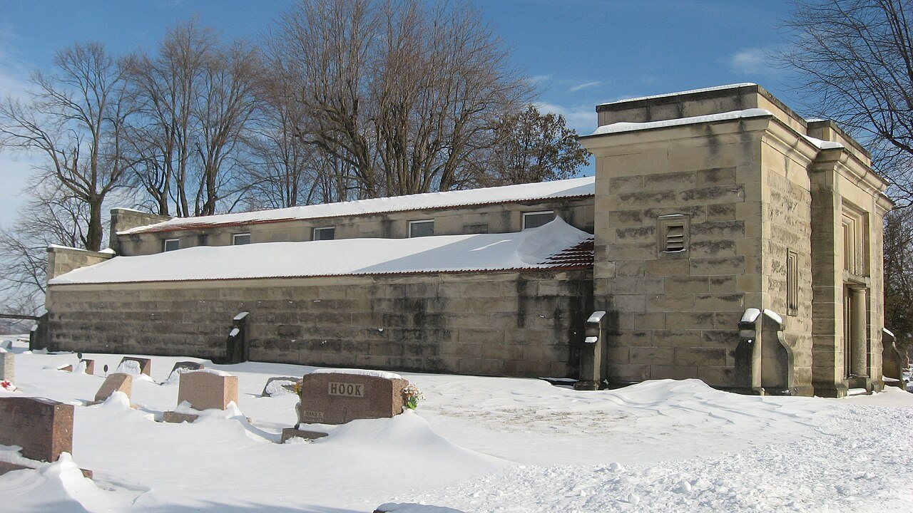
On the National Register
1 historic place in Stafford Township
The country’s official list of buildings and places worth saving.
Founding dates: Wikidata, Wikipedia, the U.S. post office records of Blevins & Helbock (CC0) and the Census. Homes by year built: Census ACS 2020–24. National Register of Historic Places: National Park Service (list of May 22, 2026). Old photos, postcards and papers: Wikimedia Commons, the Library of Congress and other public archives, credited on each item’s page. Maps: U.S. Geological Survey historical topographic maps (via Esri) and Sanborn fire-insurance maps (Library of Congress). History text and census tables: Wikipedia (CC BY-SA 4.0). Places that used to be: USGS Geographic Names Information System (2021). How TownRatings grades history →
From the National Register of Historic Places (1), U.S. Geological Survey historical maps, the USGS Geographic Names Information System and old county and town histories (Internet Archive). Archive images are copied here with their credits and licenses, shown on each photo’s page. Refreshed monthly.