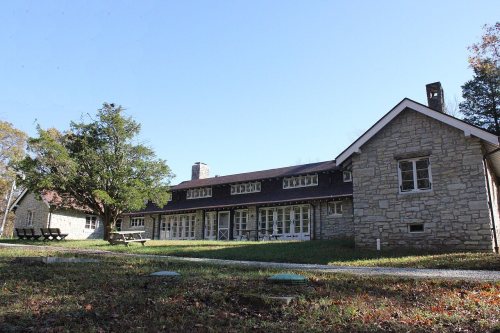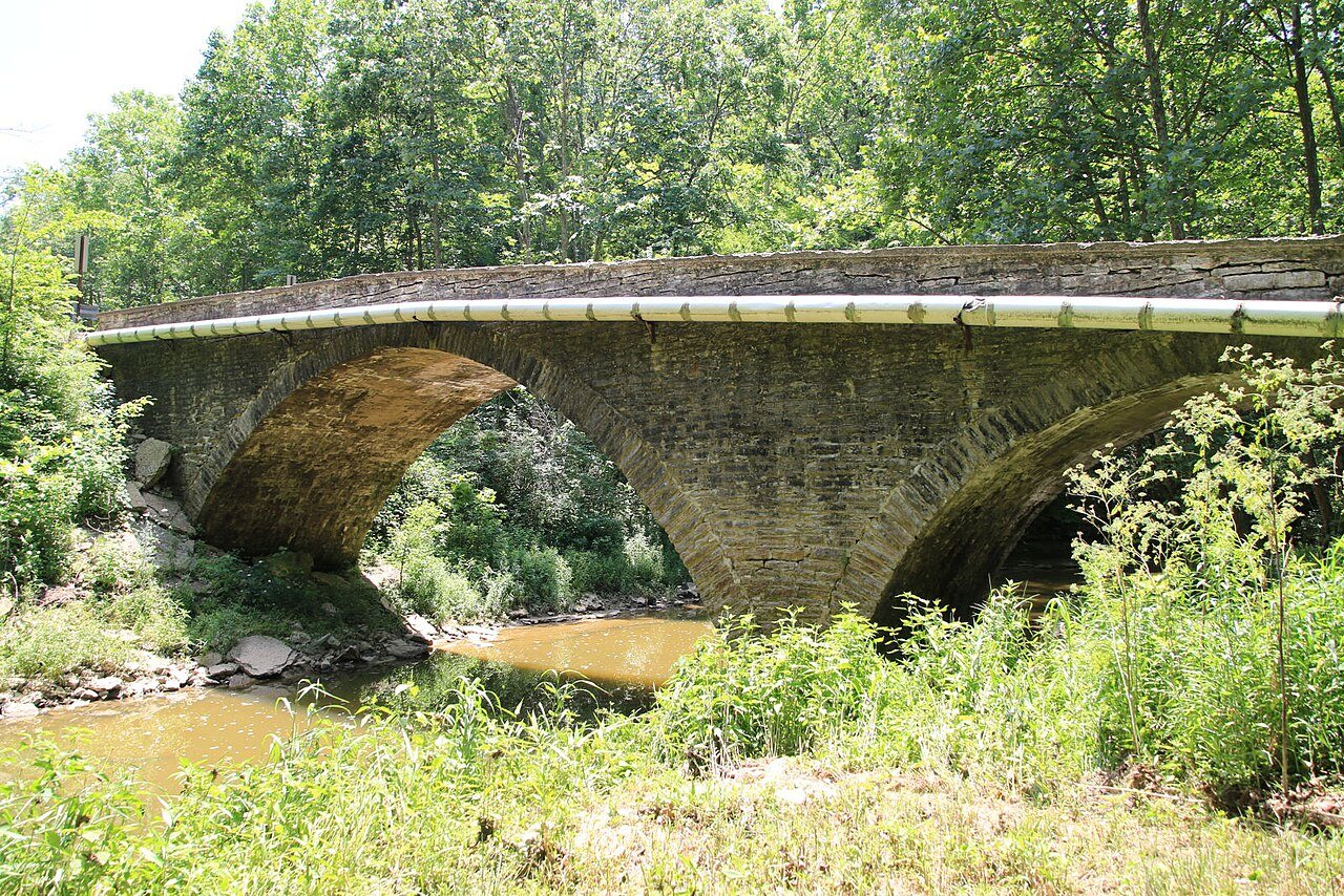
Shelby Township in pictures
Census counts: 2,365 in 1890, 1,038 in 2020. The archive holds 1 old photo or paper and 2 maps from 1986 on.
3 places on the National Register of Historic Places.
Explore the history →Each edition grades its towns against each other only.
The town, home to 1,001 people, lies in Indiana.
24% of residents live below the poverty line in Shelby Township, above both Indiana’s towns (10%) and U.S. towns (9.6%). The biggest place to walk is Big Oaks National Wildlife Refuge, 24,711 acres with 23.8 miles of trail. We don’t grade Shelby Township yet; the figures below are still real.
In a town this size, neighbors are the best guide. Ask them anything.
Census counts: 2,365 in 1890, 1,038 in 2020. The archive holds 1 old photo or paper and 2 maps from 1986 on.
3 places on the National Register of Historic Places.
Explore the history →Who provides power, water and the rest in Shelby Township, and how to reach them.
EPA SDWIS (Oct 9, 2026) · HIFLD + EIA-861 2025 · Census 2020 ZCTAs · NCES 2024–25 · registration: vote.gov, updated Nov 18, 2024.
Ordered by what stands out in Shelby Township.
The typical journey to work in Shelby Township is 29 minutes. Only 2% of working residents stay in Shelby Township for work; the rest commute out. The top destinations are Versailles (15%), Batesville (7%) and Madison (7%). Half of commuters travel less than 23 miles.
| Shelby Township | Indiana towns | U.S. towns | |
|---|---|---|---|
| Average trip to work | 29 minutes | 24 minutes | 25 minutes |
| Working residents who work in town | 1.7% | 11% | 8% |
| Median household income | $66,000 | $71,000 | $80,000 |
Census LEHD 2023 · ACS
Expect July afternoons of 85° and January nights of 22°, with about 17 inches of snow a winter.
NOAA U.S. Climate Normals, 1991–2020
37% of adults have obesity in Shelby Township. Among adults locally, 40% have high blood pressure and 15% report frequent physical distress.
| Shelby Township | Indiana towns | U.S. towns | |
|---|---|---|---|
| Smoke cigarettes (CDC PLACES) | 19% | 17% | 14% |
| High blood pressure (CDC PLACES) | 40% | 39% | 35% |
| Frequent physical distress (CDC PLACES) | 15% | 15% | 14% |
| Diabetes (CDC PLACES) | 14% | 13% | 12% |
| What stands out | Shelby Township | IN |
|---|---|---|
| More adults with COPD | 9.7% | 8.1% |
| More smokers | 18.5% | 15.7% |
| More adults with heart disease | 7.8% | 6.8% |
CDC PLACES 2025 · modeled estimates for adults · CMS · HRSA
For Shelby Township, the FEMA hazard score is 55 of 100. 45% of the town’s expected losses from natural hazards come from inland flooding, followed by tornadoes at 26%.
FEMA National Risk Index · OpenFEMA
Across 1 park or preserve: 27 miles of trail. The density of trails for Shelby Township comes to 0.4 miles per square mile.
| Biggest places to walk | Trails | Acres |
|---|---|---|
| 1. Big Oaks National Wildlife Refuge | 23.8 mi | 24,711 |
Trails & parks © OpenStreetMap contributors · Conserved land: USGS PAD-US
None within 15 miles of Shelby Township; the nearest are
About 1 of every 100 Shelby Township residents are enrolled in college, against 6 across Indiana.
Where Shelby Township’s working residents go each day. Line width shows the share.
Census LEHD 2023
3 places in Shelby Township on the National Register of Historic Places.
Township in Indiana, United States
Shelby Township is one of eleven townships in Ripley County, Indiana. As of the 2020 census, its population was 1,038 (up from 999 at 2010) and it contained 373 housing units.
From Wikipedia, licensed CC BY-SA 4.0 · facts via Wikidata (CC0)
Short answers, built from the data on this page.
We don’t grade Shelby Township yet; the figures below are still real.