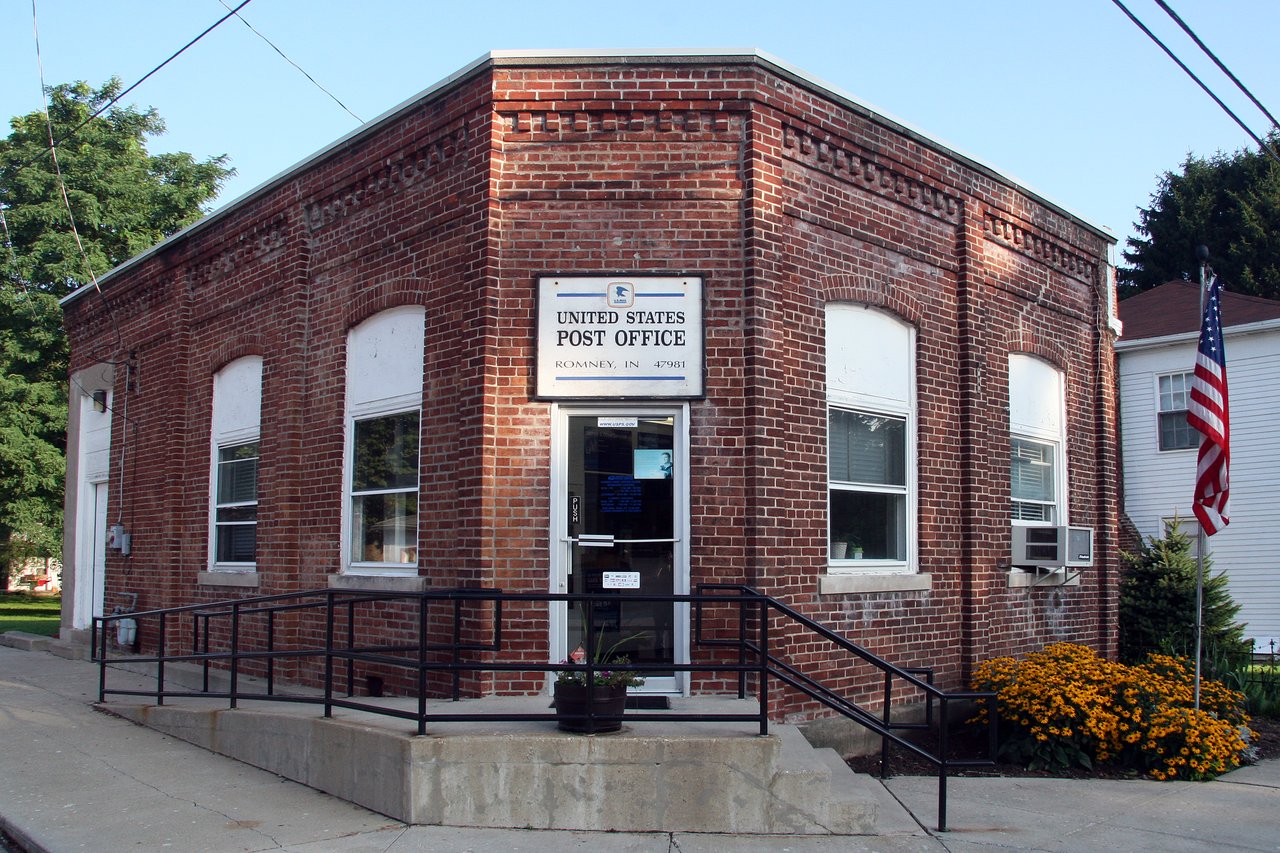
 Photo: Huw Williams (Huwmanbeing) · Public domain
The police behind Romney’s crime figures
For a graded neighbor, the nearest is Lafayette (C−), 10 miles away. Romney has no police department of its own: it’s an unincorporated community (a census-designated place) in Tippecanoe County. The Tippecanoe County Sheriff’s Office reports to the FBI for the parts of the county without police of their own, so there are no figures for Romney alone, and no Safety Grade. Out to 25 miles, the count of graded towns reaches 4.
What stands out about safety in Romney
Policed by the county
Romney is a census-designated place, with no town government. Crimes there are reported to the FBI inside the Tippecanoe County Sheriff’s Office’s totals for the county. County police ↓
Counts, not rates
The FBI doesn’t publish how many people the Tippecanoe County Sheriff’s Office covers, so its totals can’t be turned into a per-resident rate or a grade for Romney. County police ↓
The nearest graded towns
The closest Indiana towns with their own police figures are Lafayette (C−, 10 mi), West Lafayette (B, 13 mi), Crawfordsville (B, 15 mi). Nearby towns can differ a lot from Romney. Nearest ↓
Written from the FBI data on this page. Figures are crimes reported to police, not convictions.
What the Tippecanoe County Sheriff’s Office reports
Reports to the FBI for the parts of Tippecanoe County without police of their own, which include Romney.
Property crimes
Violent crimes
2024 offenses reported by the Tippecanoe County Sheriff’s Office
Counts, not rates: the FBI doesn’t publish how many people each agency covers. FBI Uniform Crime Reporting, Tables 10–11.
Crimes reported to the FBI for the whole area the department covers, by year.
The nearest Indiana towns with a Safety Grade
| Town | Grade | Distance | Violent | Property |
|---|---|---|---|---|
| Lafayette | C− | 10 mi | 5.0 | 19.4 |
| West Lafayette | B | 13 mi | 0.8 | 11.2 |
| Crawfordsville | B | 15 mi | 1.8 | 8.5 |
| Frankfort | B | 19 mi | 0.9 | 11.0 |
| Lebanon | B− | 28 mi | 2.8 | 9.1 |
| Whitestown | B− | 34 mi | 1.6 | 11.0 |
Straight-line distance from the center of Romney. Nearby towns can differ a lot from Romney.
Each town’s own police figures, per 1,000 residents a year, 2023–2025.
No one died in a crash on Romney’s roads in 2019–2023
That is about what is typical for Indiana towns of 2,500–5,000 people: at their median rate (13.8 deaths per 100,000 residents a year), a town of Romney’s size would see about 0 in five years. With numbers this small, a death or two either way changes the picture, so Romney’s own rate (0.0) is context, not a ranking.
Deaths are counted where the crash happened, not where the people lived: a highway through town adds through-traffic deaths, and residents’ own risk on roads elsewhere isn’t here. Town rates sit below state and U.S. rates because a third of fatal crashes happen outside any town. Road safety is described here and is not part of the Safety Grade. Source: NHTSA Fatality Analysis Reporting System (FARS), 2019–2023.
Romney and its neighbors
| Town | Grade | Violent | Property |
|---|
Crimes reported to the FBI per 1,000 residents a year, 2023–2025.
How reported crime compares across the town line. Tap a town to see its safety page.
What this data can and can’t tell you
- It’s reported crime. Only incidents reported to and recorded by police appear here. Many crimes are never reported to police.
- A county agency covers a wide area. Its totals mix many communities, so they say little about any one of them.
- Gaps are real gaps. A missing year means the department didn’t report a full year, not that nothing happened.
How the grade is calculated, for every town: How TownRatings grades safety →
Questions about safety in Romney
Is Romney, IN safe?
There is no Safety Grade for Romney. The nearest Indiana towns with a grade are Lafayette (C−, 10 mi), West Lafayette (B, 13 mi), Crawfordsville (B, 15 mi).
Who polices Romney?
The Tippecanoe County Sheriff’s Office. Romney is an unincorporated community, and the department reports to the FBI for the parts of Tippecanoe County without police of their own.
Heads-up board
Your answer becomes a post in Town Square.
Please don’t name or describe individuals. In an emergency, call 911.
Neighbors looking out for each other in Romney.
Crime: FBI Uniform Crime Reporting Program, Crime Data Explorer: offenses known to law enforcement by city, and state and national rates. Counts are crimes reported to police, not convictions. The Safety Grade is our own summary of that data, not an official rating. Road deaths: NHTSA Fatality Analysis Reporting System (FARS), 2019–2023. This isn’t an official statement of public safety. In an emergency, call 911.