Founding year: the first Roanoke post office (Blevins & Helbock, CC0).The full story ↓
History grade
What drives Roanoke’s History grade
On its age, its old homes and the National Register, Roanoke is more historic than 56% of U.S. towns. Its age holds the grade up; its National Register listings pull it down.
B
HistoryA character grade: shown, never part of Roanoke’s overall grade.
Indiana towns list more on the Register than most of the country (a typical Indiana town has 7.9 per 10,000 residents, the U.S. 2.4), so Roanoke’s 0.0 sits below most of its state (22% of Indiana towns have fewer) while its 0 listings outnumber those of 23% of U.S. towns.
How sure. Graded on any two of the three inputs instead, the letter would range from C+ to A−. The pre-1940 share is a Census survey estimate (±5.3 points). The founding year is the first post office, not a stated founding date.
Founding year: the first post office (other dates in Quick answers). Homes: Census ACS 2020–24. National Register: National Park Service, May 2026 list; each listing counted once (boundary changes and added documentation belong to their listing), and a historic district counts its contributing buildings. How TownRatings grades history →
What stands out about Roanoke’s past
Read from the archive, the National Register and the record. The page puts what stands out first.
Fire insurance maps drew every building, what it was made of and what it was used for, so insurers could price the risk of fire. Pick a year, then a sheet.
1901Sheet 1 of 1
Edition
Sheets
BrickWoodStone
Sanborn Map Company, via the Library of Congress. Editions published in 1930 or earlier, which are in the public domain.
Timeline
Roanoke, 1846 to 1961
Woven from the archive, old maps, post office records, the National Register and the people born here.
Once the hunting and fishing grounds of the Miami Indians, Roanoke became a prosperous commercial center in the mid-19th century. Kiilhsoohkwa (meaning "sun-woman"), the granddaughter of Chief Little Turtle, lived in Roanoke and was known by locals as “the last of the Miami tribe.”
Passages that mention Roanoke, cut from the printed page as they were published.
History of Huntington County, Indiana1914 · page 166Read the page →
Read the text
When the Town of Mahon was laid out in 1853 a spirited rivalry immediately began between that place and Roanoke. Mahon was for¬ tunate enough to secure a station on the Wabash Railroad and for a time the Roanoke people had to go to Mahon to ‘Hake a train.” The cholera scare of 1854, when a few deaths occurred in Roanoke, also gave the town a backset for a little while, but it soon recovered, and after a depot was established by the railroad company Roanoke’s supremacy over Mahon became a settled fact.
Text read by machine from the scan; it may contain errors.
History of Huntington County, Indiana1914 · page 318Read the page →
Read the text
About the time the Town of Roanoke was laid out by George A. Chapman, a class of Methodists was organized at the Center schoolhouse, about two miles west. Among the members of this class were Thomas Hackett, who had previously assisted in establishing the Wesley Chapel congregation, William Payton, David Seibert, J. P. Christie and David Roberts and their wives, and Mr. and Mrs. Yahne. For five or six years meetings were held in the schoolhouse where the class was organ¬ ized, at the end of which time the upper story of the seminary building
Text read by machine from the scan; it may contain errors.
History of Huntington County, Indiana1900 · page 638Read the page →
Read the text
Toicn of Roanoke. — The Town of Roanoke is situated in Sections 14, 15 and 28, Township 29 north. Range 10 east, and dates its history from about the year 1847 or '48, The town was an outgrowth of the Wabash & Erie Canal, and early became not only a prominent shipping point, but also the chief source of supplies for a large area of territory in Huntington, Allen and Whitley Counties, being at that time the principal trading place between Fort Wayne and the town of Wabash. The construction of the
Text read by machine from the scan; it may contain errors.
Scans and text from the Internet Archive. Books published in 1930 or earlier, which are in the public domain.
By decade
Roanoke, decade by decade
One decade in the archive so far: the 1930s. Scroll each row; tap a photo for its story.
Nothing in the archives for these yearsWeddings on Main Street, storms, parades, school pictures, the old store. If it’s in your family album, it belongs here.
Grew from 270 people in 1860 to 1,762 in 2020, 6 times over.
17 censuses, 1860–2020.
U.S. Census Bureau decennial counts, from the census table on Roanoke’s Wikipedia page.
Questions about Roanoke’s history
What year was Roanoke founded?
The Roanoke post office opened in 1846, the earliest record of the town by name (U.S. post office records).
How does Roanoke rank for history?
Roanoke is more historic than 56% of U.S. towns. The History grade combines the town’s founding era, the share of homes built before 1940 and its National Register listings. It’s a character grade, so it isn’t part of the overall grade. How it works.
How old are the homes in Roanoke?
16% of Roanoke’s homes were built before 1940 (Census estimate, ±5.3 points), against a typical 14% for an Indiana town; the median home was built in 1991.
Founding dates: Wikidata, Wikipedia, the U.S. post office records of Blevins & Helbock (CC0) and the Census. Homes by year built: Census ACS 2020–24. National Register of Historic Places: National Park Service (list of May 22, 2026). Old photos, postcards and papers: Wikimedia Commons, the Library of Congress and other public archives, credited on each item’s page. Maps: U.S. Geological Survey historical topographic maps (via Esri) and Sanborn fire-insurance maps (Library of Congress). History text and census tables: Wikipedia (CC BY-SA 4.0). Places that used to be: USGS Geographic Names Information System (2021).
From the Library of Congress (4), Wikipedia, U.S. Geological Survey historical maps, U.S. Census counts (via Wikipedia), the US Post Offices dataset (Blevins & Helbock), the USGS Geographic Names Information System, Sanborn fire insurance maps (Library of Congress) and old county and town histories (Internet Archive). Archive images are copied here with their credits and licenses, shown on each photo’s page. Refreshed monthly.

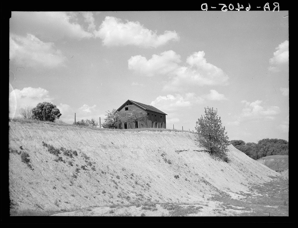


 1936
 1936
 1936


