65 years in pictures
Census counts: 2,116 in 1950, 37,926 in 2020. The archive holds 6 old photos and papers going back to 2006 and 5 maps from 1940 on.
2 places on the National Register of Historic Places.
- 1961Portage Township is settled
Each edition grades its towns against each other only.

A town of 48,733, settled in 1961.
Portage Township gives you more for your money than most places: homes are within reach, about $219K for a typical one, or 2.4 years of the Chicago metro’s $91K median household income. It grades C+ overall, ranked 444th of 585 in Indiana. On the plus side, it has 34 miles of trail. 11% of the land in Portage Township is conserved, against 1.9% in Indiana’s towns and 4.3% across U.S. towns. Indiana Dunes National Park, at 1,852 acres with 10.4 miles of trail, is the biggest park or preserve.
Where Portage Township beats most towns.
11.2% of the town is conserved land, across 33 parks and preserves.
Each subject compared with towns across the country (schools within Indiana), ordered by how far Portage Township is from typical.
How TownRatings grades towns →
Census counts: 2,116 in 1950, 37,926 in 2020. The archive holds 6 old photos and papers going back to 2006 and 5 maps from 1940 on.
2 places on the National Register of Historic Places.
Museums, parks, gardens and other places to visit around Portage Township. Close and well known come first.
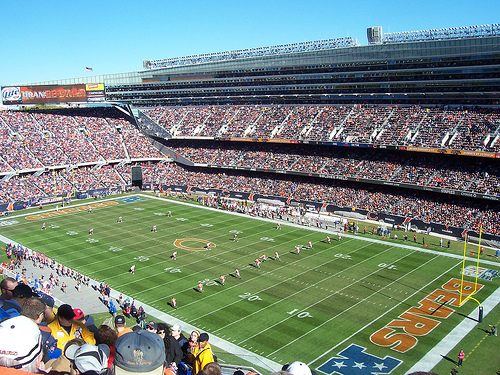
Big draw30 mi Stadium & arenaSoldier Field
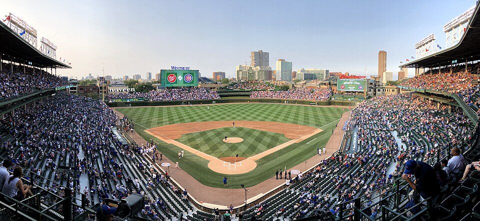
Big draw36 mi Stadium & arenaWrigley Field
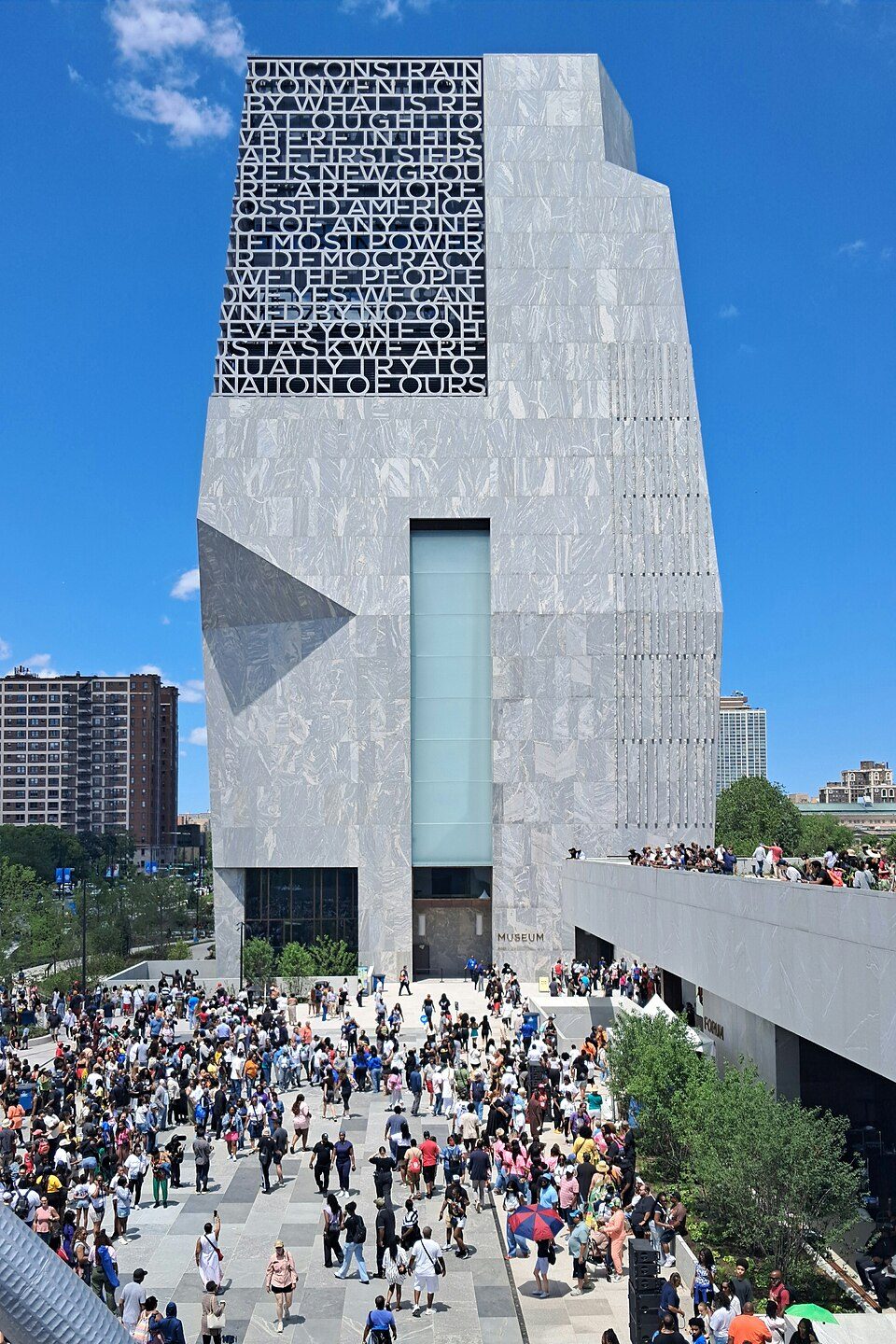
Big draw26 mi MuseumBarack Obama Presidential Center
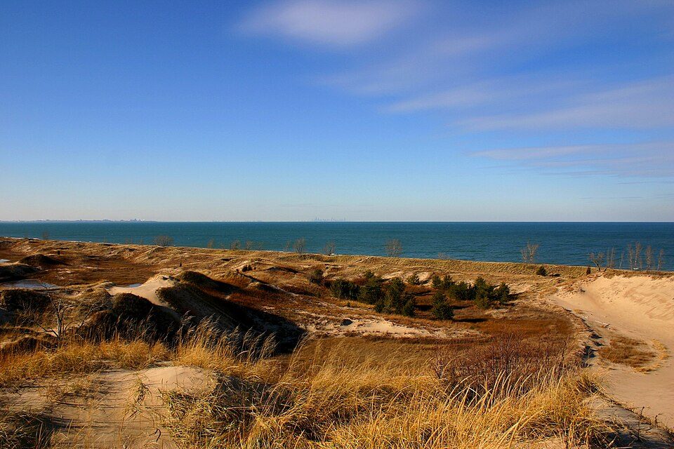
2 mi National ParkIndiana Dunes National Park2.6M visitors a year
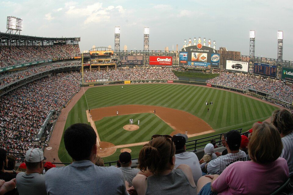
Big draw29 mi Stadium & arenaRate Field
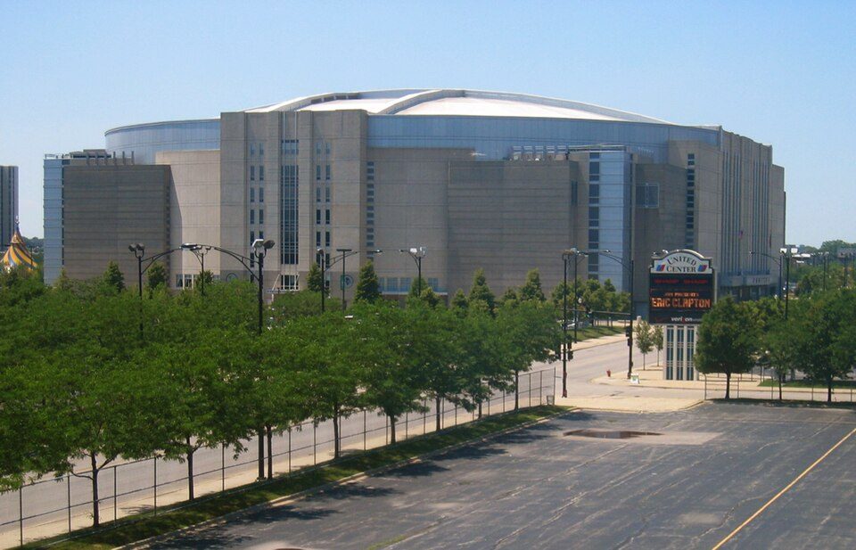
Big draw33 mi Stadium & arenaUnited CenterSoldier Field: Photo by Joon Han Contact: [email protected], CC BY-SA 3.0 · Wrigley Field: Ryan Dickey, CC BY 2.0 · Barack Obama Presidential Center: AlphaBeta135, CC0 · Indiana Dunes National Park: J. Crocker, Attribution · Rate Field: User Enoch Lai on en.wikipedia, CC BY-SA 3.0 · United Center: User:JeremyA, CC BY-SA 2.5
Who provides power, water and the rest in Portage Township, and how to reach them.
EPA SDWIS (Oct 9, 2026) · HIFLD + EIA-861 2025 · Census 2020 ZCTAs · NCES 2024–25 · registration: vote.gov, updated Nov 18, 2024.
Ordered by what stands out in Portage Township.
Portage Township’s trail density is 0.9 miles per square mile, where Indiana’s towns sit at 0.2 and U.S. towns at 0.4.
| Biggest places to walk | Trails | Acres |
|---|---|---|
| 1. Imagination Glen Park | 11.6 mi | 260 |
| 2. Indiana Dunes National Park | 10.4 mi | 1,852 |
| 3. John Merle Coulter Nature Preserve | 0.9 mi | 94 |
Trails & parks © OpenStreetMap contributors · Conserved land: USGS PAD-US
Its public schools are run by the Portage Township Schools. Two of its 14 schools are below, each with why it’s listed.
| School | Level | Students | Letter |
|---|---|---|---|
| Willowcreek Middle SchoolLargest public middle schoolGrades 6–8 | Grades 6–8 | 920 | C− |
| Portage High SchoolLargest public high schoolGrades 9–12 | Grades 9–12 | 2,163 | B− |
NCES · EDFacts · graded within IN on state tests and graduation
Portage Township tracks Indiana closely on all 32 CDC measures. 42% of adults have obesity in Portage Township.
| Portage Township | Indiana towns | U.S. towns | |
|---|---|---|---|
| Obesity (CDC PLACES) | 42% | 39% | 35% |
| Sleep under 7 hours (CDC PLACES) | 40% | 37% | 36% |
| Get no exercise (CDC PLACES) | 28% | 26% | 25% |
| Diabetes (CDC PLACES) | 14% | 13% | 12% |
CDC PLACES 2025 · modeled estimates for adults · CMS · HRSA
Expected storm and flood damage is lower than in 72% of U.S. communities. Since 1979, 12 flood insurance claims have been paid out in Portage Township.
FEMA flood insurance claims · FEMA National Risk Index · OpenFEMA
Portage Township has chilly, snowy winters and pleasant summers. July afternoons reach 83°, January nights drop to 17° and about 40 inches of snow falls in a winter.
NOAA U.S. Climate Normals, 1991–2020
Most working residents leave Portage Township for work: only 16% work in town. Jobs based in Portage Township grew to 16,195 in 2023, 1,656 more than in 2013. Portage Township’s average trip to work is 27 minutes.
| Portage Township | Indiana towns | U.S. towns | |
|---|---|---|---|
| Working residents who work in town | 16% | 11% | 8% |
| Work from home | 5.9% | 7.8% | 11% |
| Average trip to work | 27 minutes | 24 minutes | 25 minutes |
| Below the poverty line | 12% | 10% | 9.6% |
Census LEHD 2023 · ACS
2 within 15 miles of the center of Portage Township
About 4 of every 100 Portage Township residents are enrolled in college, against 6 across Indiana.
City in Indiana, United States
Portage ( POR-tij) is a city in Porter County, Indiana, United States. The population was 37,926 as of the 2020 census. It is the largest city in Porter County and third largest in Northwest Indiana. Portage lies within Portage and Westchester townships, on the border with Lake County, Indiana.
From Wikipedia, licensed CC BY-SA 4.0 · facts via Wikidata (CC0)
9 towns share a border with Portage Township.
Liberty Township next door grades higher for schools (A to Portage Township’s C+) and lower for cost of living (C+ to B+).
| Town | IN rank | Overall | Cost | Safety | Schools | Health |
|---|---|---|---|---|---|---|
| Portage Township | #444 | C+ | B+ | — | C+ | C |
| Portage | #466 | C+ | B+ | B− | C+ | C− |
| Union Township | #142 | A− | B | — | A | B− |
| Westchester Township | #74 | A | B | — | A | B− |
| Burns Harbor | — | — | B | — | A | B− |
| Liberty Township | #225 | B+ | C+ | — | A | B− |
| Gary | #585 | D− | A− | D− | D− | D− |
| Calumet Township | #573 | D | A− | — | D− | D− |
Burns Harbor has fewer than 2,500 residents, so it gets subject grades but no overall grade. Portage Township, Union Township, Westchester Township, Burns Harbor, Liberty Township and Calumet Township report no FBI crime data of their own. Compare Portage Township with a neighbor →
Short answers, built from the data on this page.
Portage Township grades C+ overall, better than 40% of U.S. towns and #444 of 585 in Indiana. It grades C for health and C+ for schools.
Not for the area. Cost of living, which also weighs rents, property taxes and how many households pay 30% or more of their income for housing, grades B+.