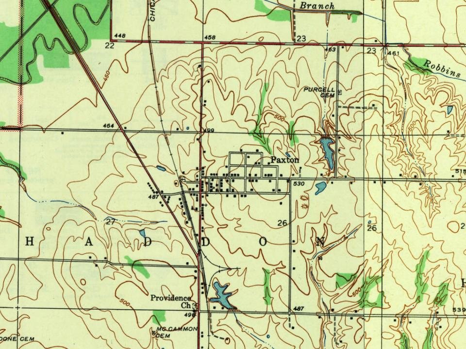
Passages that mention Paxton, cut from the printed page as they were published.
The history of Paxton, Massachusetts1889 · page 42Read the page →
Read the text
1777 by the authorities of Paxlon : Agreeably to late act of tlie fireat and (ieneral Court of Massachusetts Bay To Prevent Monopoly and oppraaion ; The Selectmen and Committee of correspondence for the Town of Paxton have Agreed upon ami affixed the Prices hereafter set down to the Following Articles in the Town of Paxton, Viz. : — Men's Labour at Iteming Work in the months of July and August, 3 thill, per day ; The months of May, .lime and September, 2«. 3d. | K
Text read by machine from the scan; it may contain errors.
The Skeltons of Paxton, Powhatan County, Virginia1922 · page 12Read the page →
Read the text
lished in Powhatan Co., Virginia, in or about 1823. This is where our special interest is centered, and our purpose is to record, as comprehensively as our information allows us, the history of this family antecedent to Paxton, at Paxton, and briefly subsequent to the removal from Paxton. And we are especially interested in the antecedent history.
Text read by machine from the scan; it may contain errors.
The Skeltons of Paxton, Powhatan County, Virginia1922 · page 39Read the page →
Read the text
After his graduation, his father having died on Nov. 4th, 1836, he returned to Paxton, and begun the practice of medicine. He inherited Paxton, and succeeded to his father's practice, which he continued for about thirty years. Then about 1866, because the laborious character of the country practice was too severely taxing his strength, he sold his place, Paxton, and moved to Richmond, where for more than twenty years he continued his practice.
Text read by machine from the scan; it may contain errors.
The history of Paxton, Massachusetts1889 · page 36Read the page →
Read the text
besides the care of founding States was the added one of taking up arms to maintain them and establish liberty. In all of these serious affairs the new town of Paxton discharged all of her obligations with highest credit. In the earlier contests between the French and Indians this town furnished, in 175G, five men as her quota in a call for one thousand men from Worcester and Hampshire Counties.
Text read by machine from the scan; it may contain errors.
Scans and text from the Internet Archive. Books published in 1930 or earlier, which are in the public domain.
Founding dates: Wikidata, Wikipedia, the U.S. post office records of Blevins & Helbock (CC0) and the Census. Homes by year built: Census ACS 2020–24. National Register of Historic Places: National Park Service (list of May 22, 2026). Old photos, postcards and papers: Wikimedia Commons, the Library of Congress and other public archives, credited on each item’s page. Maps: U.S. Geological Survey historical topographic maps (via Esri) and Sanborn fire-insurance maps (Library of Congress). History text and census tables: Wikipedia (CC BY-SA 4.0). Places that used to be: USGS Geographic Names Information System (2021). How TownRatings grades history →
From Wikimedia Commons (1), Wikipedia, U.S. Geological Survey historical maps and old county and town histories (Internet Archive). Archive images are copied here with their credits and licenses, shown on each photo’s page. Refreshed monthly.


 2016