Passages that mention Milford, cut from the printed page as they were published.
History of the colony of New Haven, before and after the union with Connecticut. Containing a particular description of the towns which composed that government, viz., New Haven, Milford, Guilford, Branford, Stamford, & Southold, L. I., with a notice of t1838 · page 99Read the page →
Read the text
bridge, crossing Indian river on the old country road, 1706, King's bridge in 1711, a bridge from a point of rocks a few rods below the Episcopal church, not now kept up, in 1723, Oyster river bridge, built by Milford and New Haven, 1753, North street foot bridge, 1768, bridge by Jehiel Bristols, 1819, Gulf bridge, 1810. Jefferson's bridge, over the Mill river, was built and is supported by the turnpike company.
Text read by machine from the scan; it may contain errors.
History of the colony of New Haven, before and after the union with Connecticut. Containing a particular description of the towns which composed that government, viz., New Haven, Milford, Guilford, Branford, Stamford, & Southold, L. I., with a notice of t1838 · page 158Read the page →
Read the text
A part of Orange, North Milford parish, originally belonged to Milford. Orange was incorporated by the general assembly holden at New Haven in May, 1822, and was formed by the union of North Milford parish and West Haven, a parish of New Haven. The first town meeting was holden at the meeting-house in the parish of North Milford, on the second Monday in June, of which meeting Charles H. Pond, Esq., of Milford, was previously appointed moderator by the
Text read by machine from the scan; it may contain errors.
Scans and text from the Internet Archive. Books published in 1930 or earlier, which are in the public domain.
By decade
Milford, decade by decade
One decade in the archive so far: the 1910s. Scroll each row; tap a photo for its story.
Nothing in the archives for these yearsWeddings on Main Street, storms, parades, school pictures, the old store. If it’s in your family album, it belongs here.
Founding dates: Wikidata, Wikipedia, the U.S. post office records of Blevins & Helbock (CC0) and the Census. Homes by year built: Census ACS 2020–24. National Register of Historic Places: National Park Service (list of May 22, 2026). Old photos, postcards and papers: Wikimedia Commons, the Library of Congress and other public archives, credited on each item’s page. Maps: U.S. Geological Survey historical topographic maps (via Esri) and Sanborn fire-insurance maps (Library of Congress). History text and census tables: Wikipedia (CC BY-SA 4.0). Places that used to be: USGS Geographic Names Information System (2021). How TownRatings grades history →
From Wikimedia Commons (1), the Library of Congress (2), Wikipedia, U.S. Geological Survey historical maps and old county and town histories (Internet Archive). Archive images are copied here with their credits and licenses, shown on each photo’s page. Refreshed monthly.


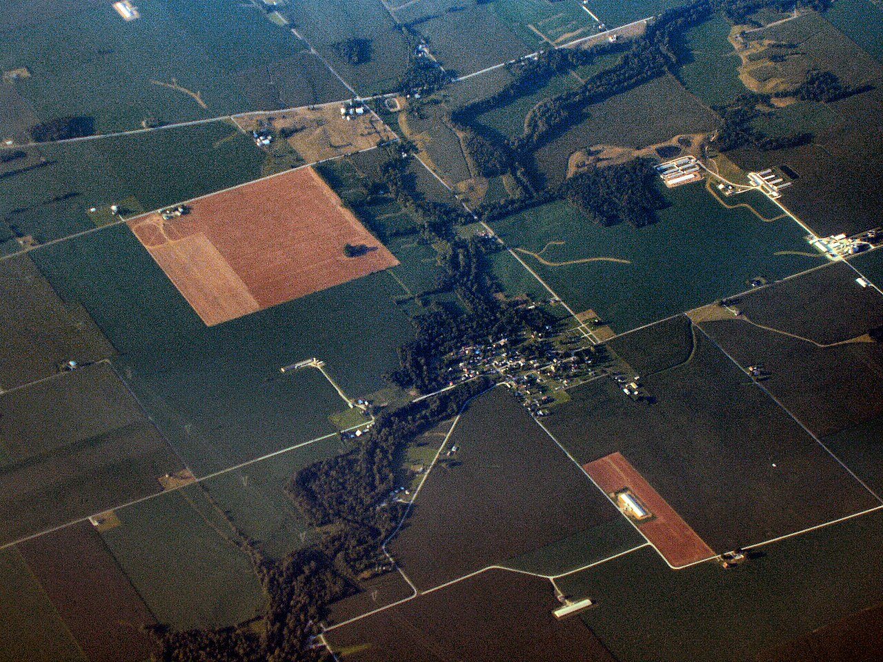


 1910
 1910
 Date?


