Merom dates to 1817, and 36% of its homes were built before 1940
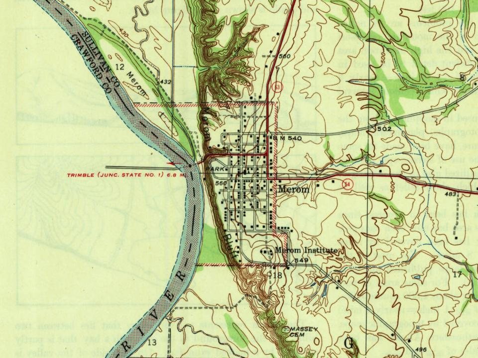
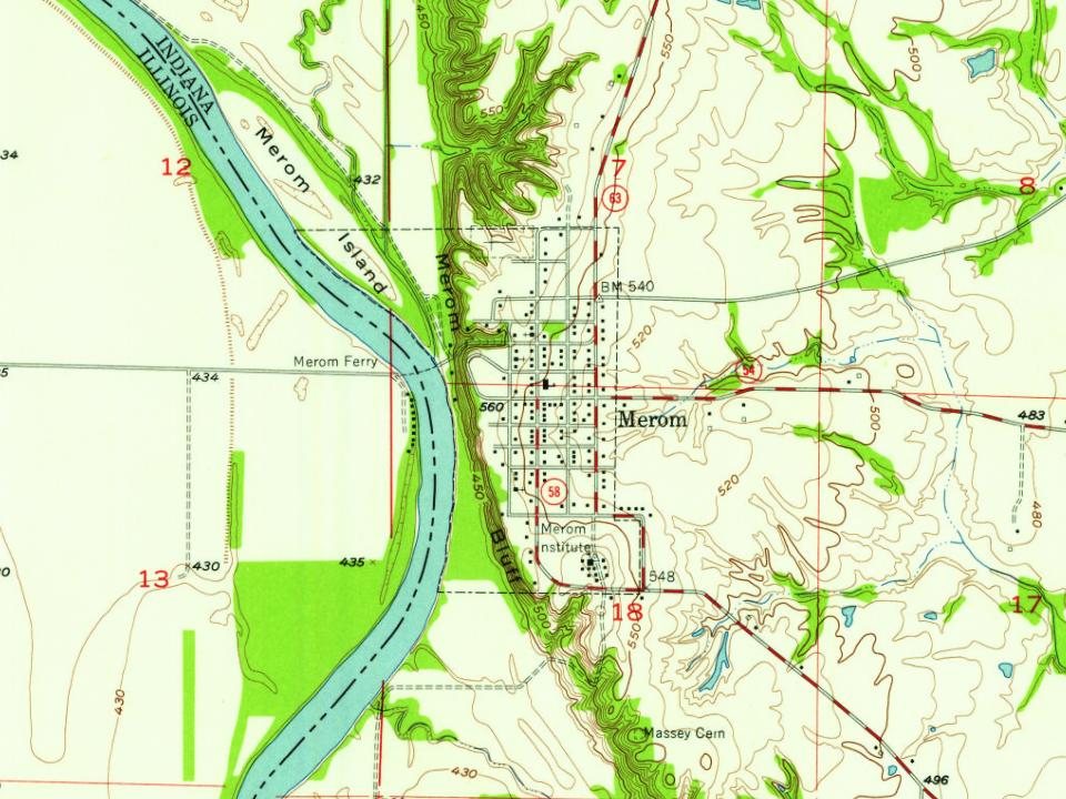
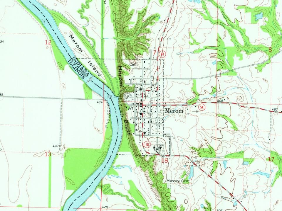
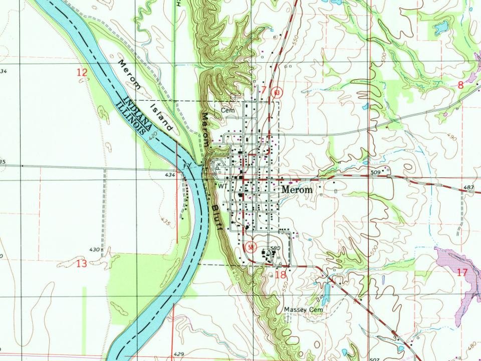
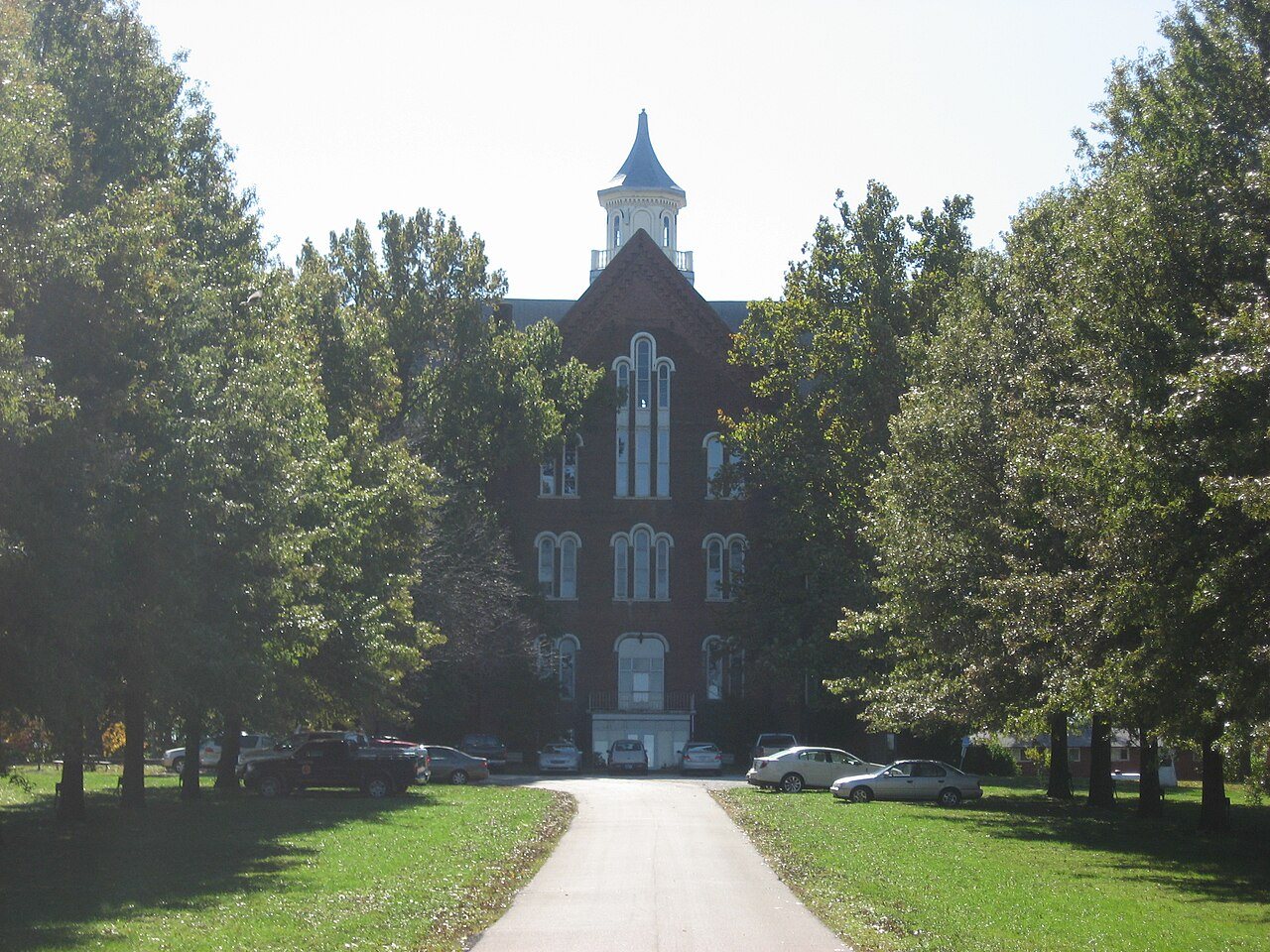
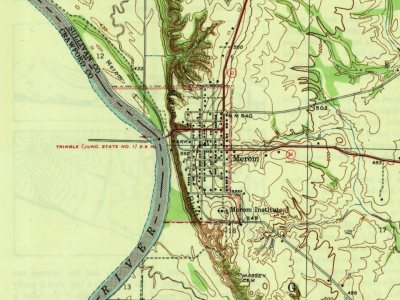
Its Register listings are the Union Christian College, the Merom Site and Fort Azatlan and the Merom-Gill Township Carnegie Library. Below: maps from 1943 on and the census since 1860.
Passages that mention Merom, cut from the printed page as they were published.
A history of Sullivan County, Indiana, closing of the first century's history of the county, and showing the growth of its people, institutions, industries and wealth1909 · page 196Read the page →
Read the text
The narrow-gauge railroad was completed to the Wabash in 1886, and the first trains crossed the river in that }ear. The bridge is over a mile south of Alerom, and the railroad station established for the benefit of the townspeople is so far away that Merom is still practically isolated from the railroad. In November. 1887, the county surveyor laid out a town near the bridge, and this has since been known as Riverton. though it IS really a suburb of the old town* on the bluff.
Text read by machine from the scan; it may contain errors.
A history of Sullivan County, Indiana, closing of the first century's history of the county, and showing the growth of its people, institutions, industries and wealth1909 · page 46Read the page →
Read the text
The name Creager that is owned by numerous persons in this county was among the early names at the old town of Merom. C3ne of the oldest of the family was William Creager, who died at Merom. March 30, 1868, and one of the last of the town's pioneers. He was a native of Kentucky, and for many years had been a justice of the peace at this locality.
Text read by machine from the scan; it may contain errors.
Scans and text from the Internet Archive. Books published in 1930 or earlier, which are in the public domain.
Timeline
Merom, 1817 to 1943
Woven from the archive, old maps, post office records, the National Register and the people born here.
Founding dates: Wikidata, Wikipedia, the U.S. post office records of Blevins & Helbock (CC0) and the Census. Homes by year built: Census ACS 2020–24. National Register of Historic Places: National Park Service (list of May 22, 2026). Old photos, postcards and papers: Wikimedia Commons, the Library of Congress and other public archives, credited on each item’s page. Maps: U.S. Geological Survey historical topographic maps (via Esri) and Sanborn fire-insurance maps (Library of Congress). History text and census tables: Wikipedia (CC BY-SA 4.0). Places that used to be: USGS Geographic Names Information System (2021). How TownRatings grades history →
From Wikimedia Commons (3), the National Register of Historic Places (3), Wikipedia, U.S. Geological Survey historical maps, U.S. Census counts (via Wikipedia), the US Post Offices dataset (Blevins & Helbock), the USGS Geographic Names Information System and old county and town histories (Internet Archive). Archive images are copied here with their credits and licenses, shown on each photo’s page. Refreshed monthly.


 2016
 2011
 2011