beyond the home market, but the demand from this quarter keeps the mills in constant operation. 1 p me rains m Saw mill and I tending Factory.— Charles and Joseph Houser entered upon tins business at Hoagland in tile spring of 1877. The quota of machinery is complete, and lumber is sawed from logs into strips, after which it is bent for oar. nage bows, shafts, tongues, wagon-tops, etc. The main building is 311x40 feet and the bending-room twenty feet square. The goods here manufactured find a ready market at Fort Wayne.
Text read by machine from the scan; it may contain errors.
Scans and text from the Internet Archive. Books published in 1930 or earlier, which are in the public domain.
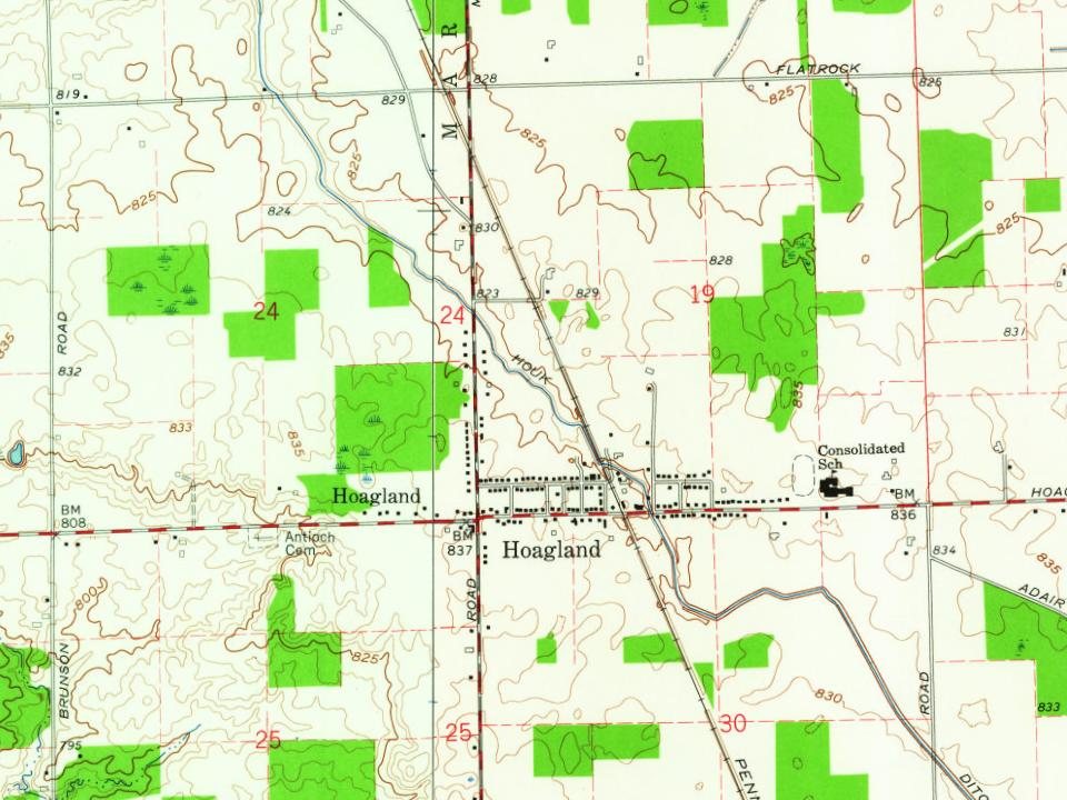
Founding dates: Wikidata, Wikipedia, the U.S. post office records of Blevins & Helbock (CC0) and the Census. Homes by year built: Census ACS 2020–24. National Register of Historic Places: National Park Service (list of May 22, 2026). Old photos, postcards and papers: Wikimedia Commons, the Library of Congress and other public archives, credited on each item’s page. Maps: U.S. Geological Survey historical topographic maps (via Esri) and Sanborn fire-insurance maps (Library of Congress). History text and census tables: Wikipedia (CC BY-SA 4.0). Places that used to be: USGS Geographic Names Information System (2021). How TownRatings grades history →
From Wikimedia Commons (1), Wikipedia, U.S. Geological Survey historical maps and old county and town histories (Internet Archive). Archive images are copied here with their credits and licenses, shown on each photo’s page. Refreshed monthly.


 2016