Founding year: Wikidata; Wikipedia’s history section gives the same year. First post office: 1837.The full story ↓
History grade
What drives Greendale’s History grade
On its age, its old homes and the National Register, Greendale is more historic than 79% of U.S. towns, #243 of 593 in Indiana. Its National Register listings hold the grade up; its age pulls it down.
A−
HistoryA character grade: shown, never part of Greendale’s overall grade.
Indiana towns list more on the Register than most of the country (a typical Indiana town has 7.9 per 10,000 residents, the U.S. 2.4), so Greendale’s 1,342 sits above most of its state (99% of Indiana towns have fewer) while its 535 historic buildings outnumber those of 97% of U.S. towns.
How sure. Graded on any two of the three inputs instead, the letter would range from B− to A. The pre-1940 share is a Census survey estimate (±7.9 points). Two sources give 1852.
Founding year: Wikidata (other dates in Quick answers). Homes: Census ACS 2020–24. National Register: National Park Service, May 2026 list; each listing counted once (boundary changes and added documentation belong to their listing), and a historic district counts its contributing buildings. How TownRatings grades history →
What stands out about Greendale’s past
Read from the archive, the National Register and the record. The page puts what stands out first.
Passages that mention Greendale, cut from the printed page as they were published.
History of Dearborn County Indiana1915 · page 261Read the page →
Read the text
population and importance, saw that a larger and more desirable location was needed. Accordingly a number of the citizens of Lawrenceburg organ¬ ized and purchased thirty acres of ground from Joseph Hayes north of the town of Greendale (now a part of the village) ; on a beautifully located high bottom overlooking the valley. It was tastefully laid out by Benjamin Grove, an engineer from Louisville, Kentucky, and the landscape planning was done by a Mr. Ihle, who was an artist in such matters. The articles of association of the original incorporation in their first two sections state the object as
Text read by machine from the scan; it may contain errors.
History of Dearborn County Indiana1915 · page 1062Read the page →
Read the text
While devoted to his manufacturing interests to a degree that can only be measured by his success, he has been interested in the growth of the town of Greendale to the extent of installing an electric light plant and waterworks, not with pecuniary success of these ventures as his first consideration, but that the citizens might enjoy these conveniences and that others might be attracted to take up their homes here with the assurance of good light and water service.
Text read by machine from the scan; it may contain errors.
Scans and text from the Internet Archive. Books published in 1930 or earlier, which are in the public domain.
Timeline
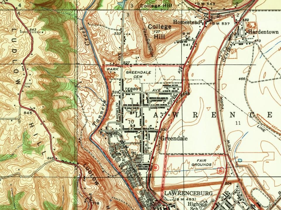
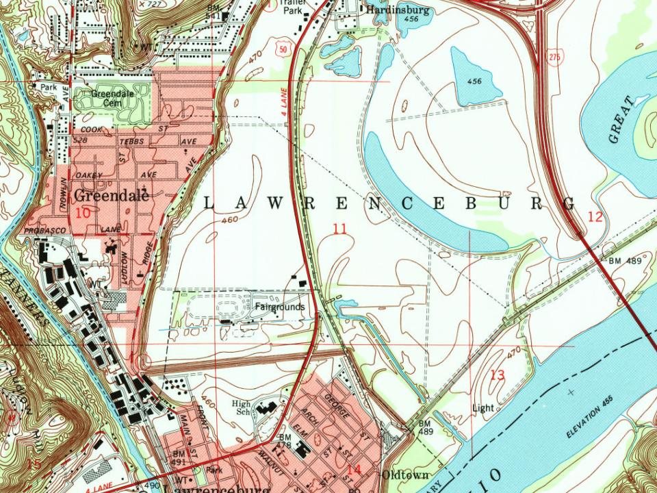
Greendale, 1837 to 1995
Woven from the archive, old maps, post office records, the National Register and the people born here.
In 1852, according to Wikidata and Wikipedia’s history of the town. Greendale’s post office opened in 1837, and the census of 1880 counted 286 people here.
How does Greendale rank for history?
Greendale is more historic than 79% of U.S. towns, #243 of 593 in Indiana. The History grade combines the town’s founding era, the share of homes built before 1940 and its National Register listings. It’s a character grade, so it isn’t part of the overall grade. How it works.
What is on the National Register in Greendale?
One place: the Greendale Historic District (listed 2019).
How old are the homes in Greendale?
19% of Greendale’s homes were built before 1940 (Census estimate, ±7.9 points), against a typical 14% for an Indiana town; the median home was built in 1958.
Founding dates: Wikidata, Wikipedia, the U.S. post office records of Blevins & Helbock (CC0) and the Census. Homes by year built: Census ACS 2020–24. National Register of Historic Places: National Park Service (list of May 22, 2026). Old photos, postcards and papers: Wikimedia Commons, the Library of Congress and other public archives, credited on each item’s page. Maps: U.S. Geological Survey historical topographic maps (via Esri) and Sanborn fire-insurance maps (Library of Congress). History text and census tables: Wikipedia (CC BY-SA 4.0). Places that used to be: USGS Geographic Names Information System (2021).
From the National Register of Historic Places (1), Wikipedia, Wikidata and Wikipedia for famous people, U.S. Geological Survey historical maps, U.S. Census counts (via Wikipedia), the US Post Offices dataset (Blevins & Helbock), the USGS Geographic Names Information System and old county and town histories (Internet Archive). Archive images are copied here with their credits and licenses, shown on each photo’s page. Refreshed monthly.