The Gaston post office opened in 1892, the earliest record of the town by name. Another post office, New Corner (1852), opened inside today’s town and later closed.
First census: 638 in 19102020 census: 796134 years
Founding year: the first Gaston post office (Blevins & Helbock, CC0).The full story ↓
What stands out about Gaston’s past
Read from the archive, the National Register and the record. The page puts what stands out first.
Gaston was originally called Snag Town and then New Corner, and under the former name was platted on February 27, 1855, by David L. Jones. The name Gaston was adopted when the railroad was built through the town in 1901 during a local gas boom. In late 1904, Gaston was officially incorporated as a town.
Passages that mention Gaston, cut from the printed page as they were published.
A twentieth century history of Delaware County, Indiana1908 · page 165Read the page →
Read the text
The thriving village of Gaston, known in earlier history as New Corner, was a country village, remote from railroad connections, until a few vcars ago. As a trading center for a very rich agricultural district, and under the leadership of some very enterprising men, it has, nevertheless, been a center of importance for many years. Its early history has been given elsewhere. Fifty years ago, according to an old director}', its population was 35. One physician, one sawmill, two churches, one school, one store (Jesse Micrs, proprietor), several mechanics, comprised the leading interests.
Text read by machine from the scan; it may contain errors.
Scans and text from the Internet Archive. Books published in 1930 or earlier, which are in the public domain.
Timeline
Gaston, 1852 to 1986
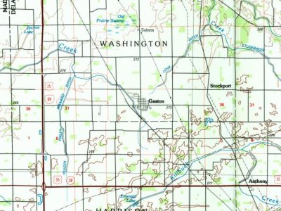
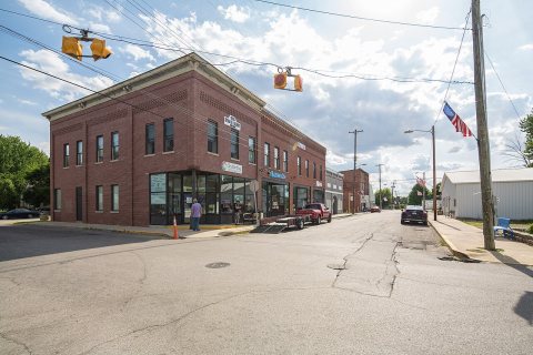
Woven from the archive, old maps, post office records, the National Register and the people born here.
Founding dates: Wikidata, Wikipedia, the U.S. post office records of Blevins & Helbock (CC0) and the Census. Homes by year built: Census ACS 2020–24. National Register of Historic Places: National Park Service (list of May 22, 2026). Old photos, postcards and papers: Wikimedia Commons, the Library of Congress and other public archives, credited on each item’s page. Maps: U.S. Geological Survey historical topographic maps (via Esri) and Sanborn fire-insurance maps (Library of Congress). History text and census tables: Wikipedia (CC BY-SA 4.0). Places that used to be: USGS Geographic Names Information System (2021). How TownRatings grades history →
From Wikimedia Commons (3), the Library of Congress (1), Wikipedia, U.S. Geological Survey historical maps, U.S. Census counts (via Wikipedia), the US Post Offices dataset (Blevins & Helbock), the USGS Geographic Names Information System and old county and town histories (Internet Archive). Archive images are copied here with their credits and licenses, shown on each photo’s page. Refreshed monthly.


 Date?
 Date?
 2016
 2015


