Passages that mention Dubois, cut from the printed page as they were published.
History of Pike and Dubois Counties, Indiana1885 · page 638Read the page →
Read the text
mercantile business and working as a clerk in the stores of Germany until 1877, when he came to the United States, locating first in Pike County, Ind., where he worked in a saw-mill two years, and then came to Dubois County and farmed two years, and later worked as section hand and foreman on the railroad until the latter part of 1884. In March, 1885, he bought a onesixth interest in his present business, and is meeting with good success, , that firm doing the leading business in their county,
Text read by machine from the scan; it may contain errors.
History of Pike and Dubois Counties, Indiana1885 · page 282Read the page →
Read the text
that time included all of its present territory except a part of Clay Township, and in addition took in all of what is now Columbia Township and a large part of Barton Township, Gibson County, a small part of Warrick and Perry Counties, all of Dubois County and that part of Martin County south of Lick Creek. By acts of the legislature in regard to the formation of Dubois County passed during the session of 1817-18,the present eastern boundary of Pike County was established, and the General Assembly o'f
Text read by machine from the scan; it may contain errors.
Scans and text from the Internet Archive. Books published in 1930 or earlier, which are in the public domain.
Founding dates: Wikidata, Wikipedia, the U.S. post office records of Blevins & Helbock (CC0) and the Census. Homes by year built: Census ACS 2020–24. National Register of Historic Places: National Park Service (list of May 22, 2026). Old photos, postcards and papers: Wikimedia Commons, the Library of Congress and other public archives, credited on each item’s page. Maps: U.S. Geological Survey historical topographic maps (via Esri) and Sanborn fire-insurance maps (Library of Congress). History text and census tables: Wikipedia (CC BY-SA 4.0). Places that used to be: USGS Geographic Names Information System (2021). How TownRatings grades history →
From Wikimedia Commons (2), Wikipedia, U.S. Geological Survey historical maps and old county and town histories (Internet Archive). Archive images are copied here with their credits and licenses, shown on each photo’s page. Refreshed monthly.
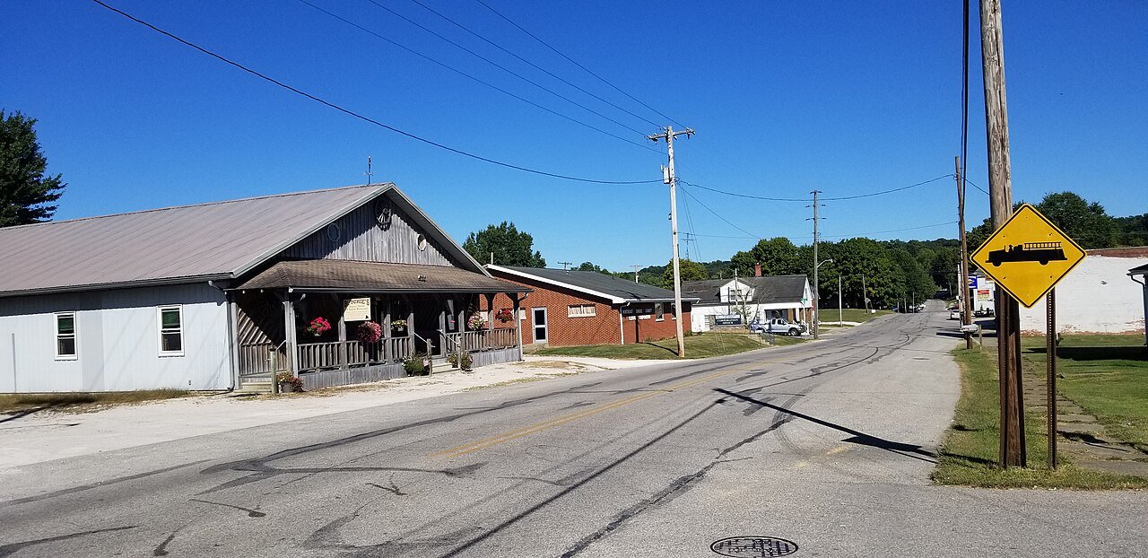


 2020
 2020


