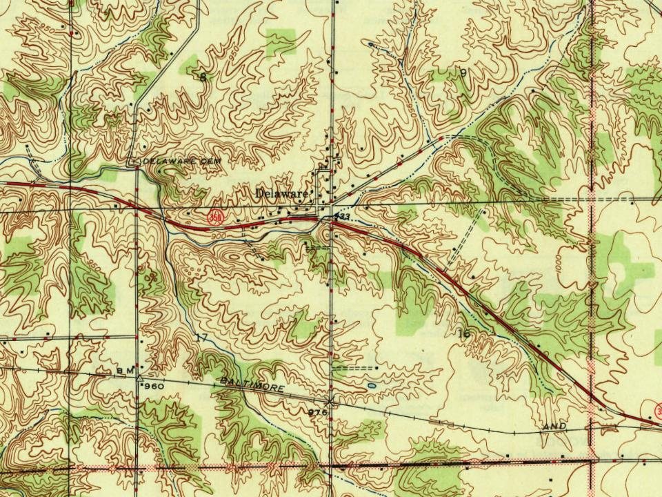
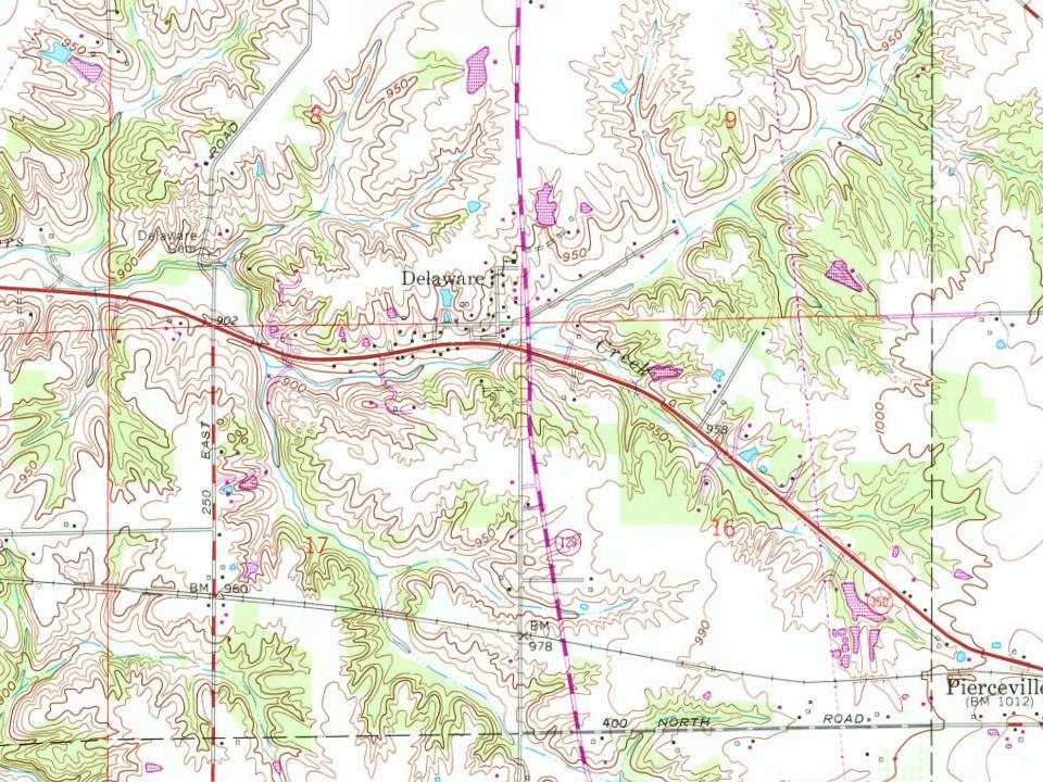
Passages that mention Delaware, cut from the printed page as they were published.
History of Delaware County, Pennsylvania1884 · page 198Read the page →
Read the text
1835, when an organization was effected, and a board of directors elected. On Jan. 18, 1832, the Legislature of Delaware chartered the Wilmington and Susquehanna Railroad Company, with power to build a railroad from the Pennsylvania State line through Wilmington to the Maryland State line, towards the Susquehanna River; and on March 5, 1832, the Legislature of Maryland incorporated the Baltimore
Text read by machine from the scan; it may contain errors.
two churches, a school house, a postoffice, two stores, a hotel, asmithy and a dozen or more dwellings. Kirkwood in the southeast lies partly in Red Lion Hundred and isa station on the Delaware Railroad with a passenger and freight depot, three stores, a hotel, a school house, a postoffice, a smithy and about a dozen houses. Summit Bridge lies south of the Delaware and Chesapeake canal, and is so called after a high bridge which once spanned the canal atthat point. It has a church,
Text read by machine from the scan; it may contain errors.
The town was laid out in 1866, and was made a station by the Delaware railroad. Baptist and congregational churches were established here in 1867, but disbanded six years later, the members Joining the churches at Magnolia.
Text read by machine from the scan; it may contain errors.
History of Delaware County, Pennsylvania1884 · page 197Read the page →
Read the text
The extension from the Pennsylvania Railroad to West Chester, which was opened Dec. 25, 1833, aroused a rivalry in Old Chester, and a number of citizens of Delaware County procured the passage of the law of April 11, 1835, incorporating the Delaware County Branch Railroad Company, authorizing the construction of a railway from Chester, along the creek of the same name, to intersect at West Chester
Text read by machine from the scan; it may contain errors.
Scans and text from the Internet Archive. Books published in 1930 or earlier, which are in the public domain.
By decade
No old photos in the archives yet
Weddings on Main Street, storms, parades, school pictures, the old store. If it’s in your family album, it belongs here.
Be the first to add onePhotograph a print flat, in daylight, no flash.
Founding dates: Wikidata, Wikipedia, the U.S. post office records of Blevins & Helbock (CC0) and the Census. Homes by year built: Census ACS 2020–24. National Register of Historic Places: National Park Service (list of May 22, 2026). Old photos, postcards and papers: Wikimedia Commons, the Library of Congress and other public archives, credited on each item’s page. Maps: U.S. Geological Survey historical topographic maps (via Esri) and Sanborn fire-insurance maps (Library of Congress). History text and census tables: Wikipedia (CC BY-SA 4.0). Places that used to be: USGS Geographic Names Information System (2021). How TownRatings grades history →
From Wikipedia, U.S. Geological Survey historical maps and old county and town histories (Internet Archive). Archive images are copied here with their credits and licenses, shown on each photo’s page. Refreshed monthly.