The story
Read it all →How Crows Nest came to be
From Wikipedia’s history of Crows Nest.
Crows Nest was founded in 1927 and supposedly was named from crows nesting nearby.
Text from Wikipedia, licensed CC BY-SA 4.0.
Each edition grades its towns against each other only.
1 place in town is on the National Register, among them a historic district with 29 buildings. Below: maps from 1948 on and the census since 1930.
Crows Nest dates its founding to 1927 (Wikipedia’s history). The census first counted it in 1930.
Read from the archive, the National Register and the record. The page puts what stands out first.
The first neighbors to add old photos shape how Crows Nest’s history is told.
Peaked at 122 in 1960; 67 people lived here in 2020.
10 censuses, 1930–2020.
U.S. Census Bureau decennial counts, from the census table on Crows Nest’s Wikipedia page.
The country’s official list of buildings and places worth saving.
National Park Service, National Register of Historic Places. Photos from Wikimedia Commons, credited on each place’s page.
From Wikipedia’s history of Crows Nest.
Crows Nest was founded in 1927 and supposedly was named from crows nesting nearby.
Text from Wikipedia, licensed CC BY-SA 4.0.
Woven from the archive, old maps, post office records, the National Register and the people born here.
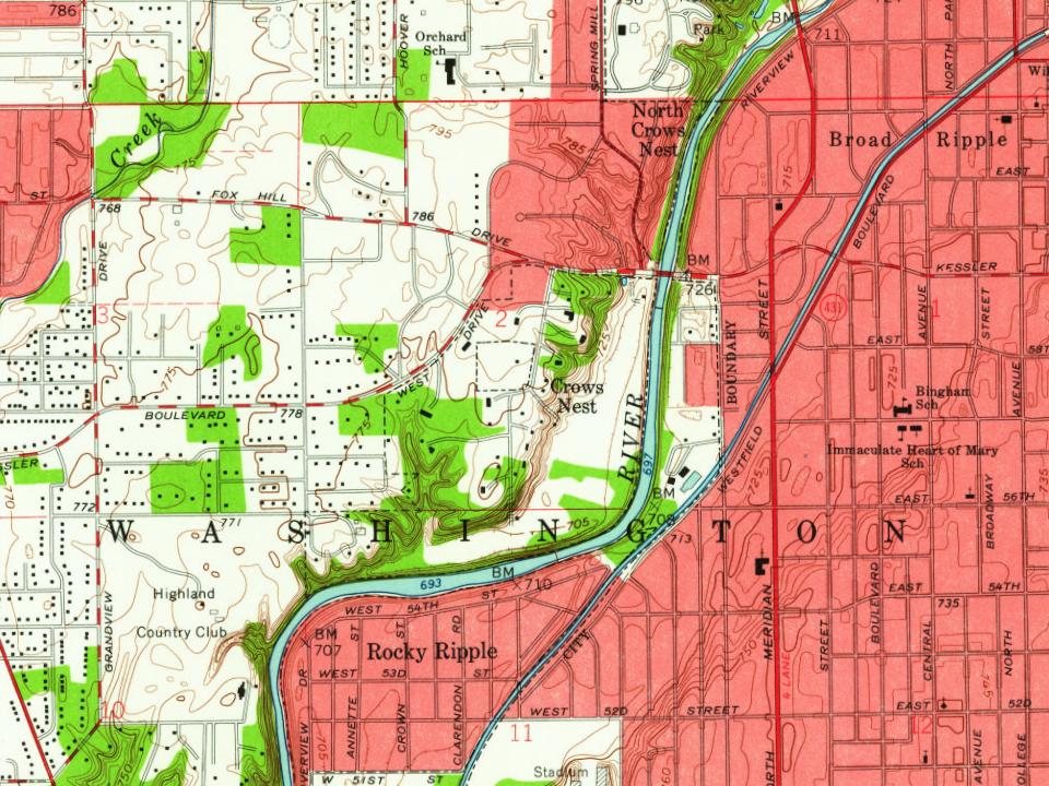
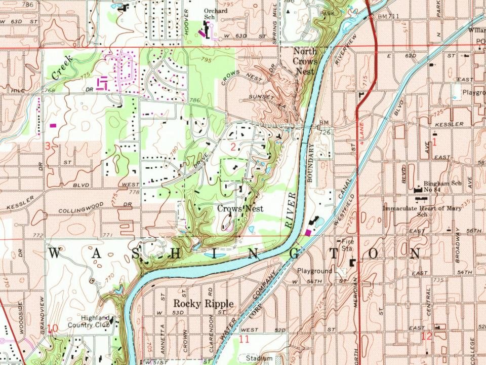
 On the mapFirst mapped by the U.S. Geological Survey
Every edition of the U.S. Geological Survey’s map of Crows Nest. Tap a year, or press play to watch the town change.

U.S. Geological Survey historical topographic maps (public domain), via Esri’s collection of the scans. The red ring marks the center of Crows Nest.
Nobody well known was born in Crows Nest itself, so here are the best known from just nearby.
Each neighbor’s History grade, on the same three inputs.
In 1927, according to Wikipedia’s history of the town. the census of 1930 counted 79 people here.
One place: the Town of Crows Nest Historic District (listed 2000).
What the archives can’t tell you, neighbors can.
Founding dates: Wikidata, Wikipedia, the U.S. post office records of Blevins & Helbock (CC0) and the Census. Homes by year built: Census ACS 2020–24. National Register of Historic Places: National Park Service (list of May 22, 2026). Old photos, postcards and papers: Wikimedia Commons, the Library of Congress and other public archives, credited on each item’s page. Maps: U.S. Geological Survey historical topographic maps (via Esri) and Sanborn fire-insurance maps (Library of Congress). History text and census tables: Wikipedia (CC BY-SA 4.0). Places that used to be: USGS Geographic Names Information System (2021). How TownRatings grades history →
From Wikimedia Commons (3), the National Register of Historic Places (1), Wikipedia, U.S. Geological Survey historical maps, U.S. Census counts (via Wikipedia) and the USGS Geographic Names Information System. Archive images are copied here with their credits and licenses, shown on each photo’s page. Refreshed monthly.
 2022
 2011
 2011