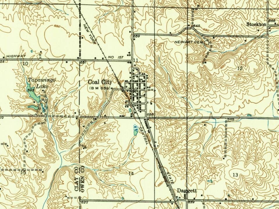
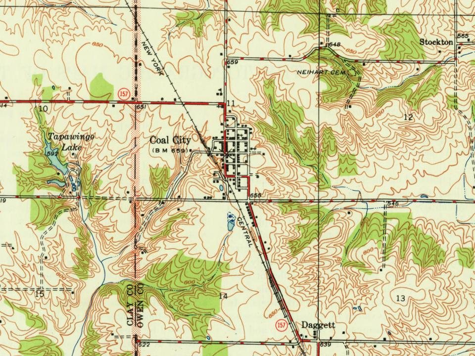
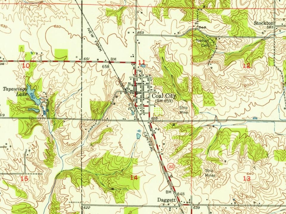
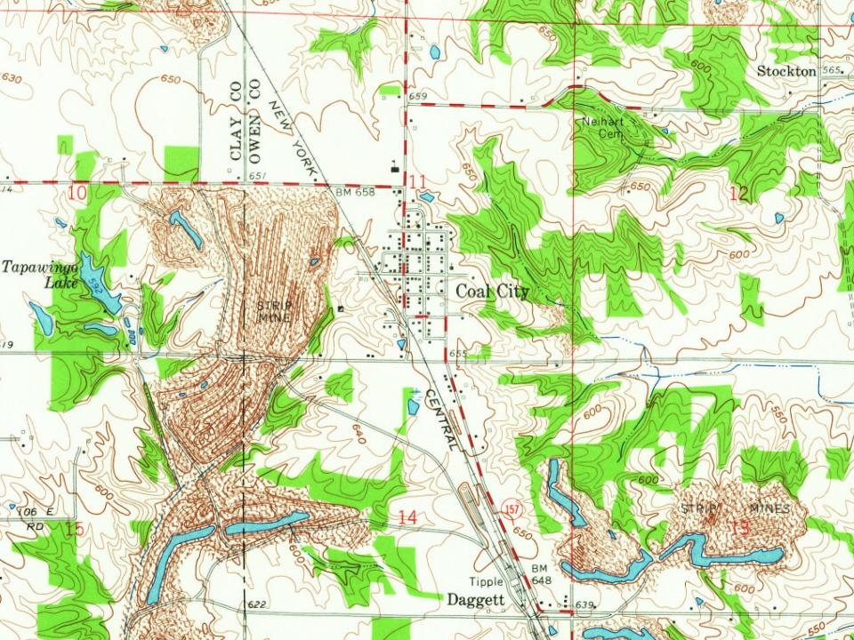
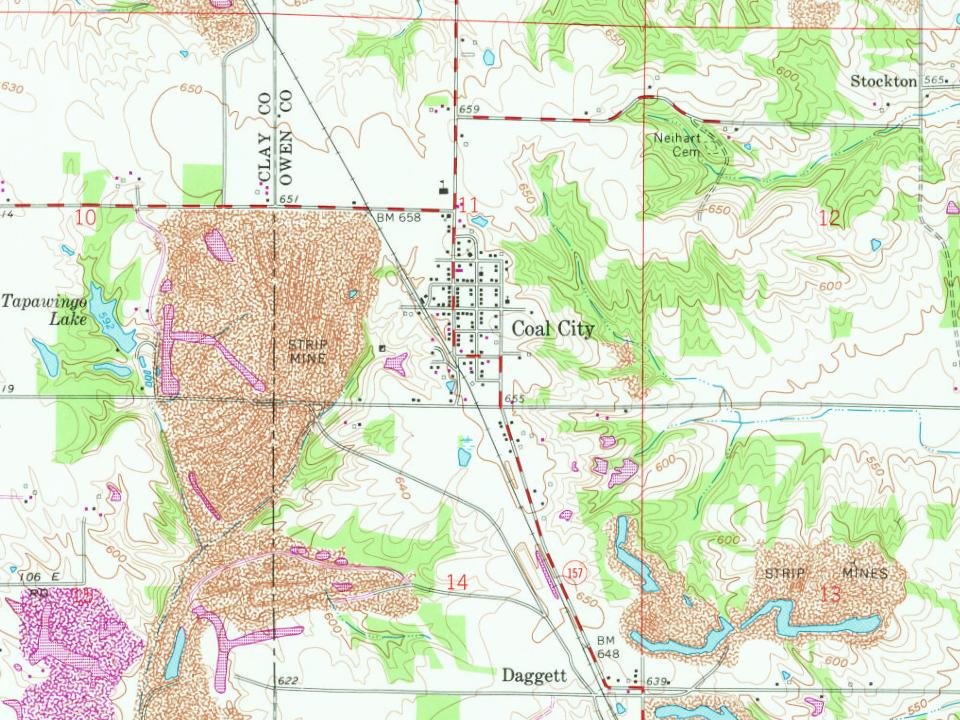
In 1852, the village of Davidsburg was platted in Section 12, Town 9 north, Range 6 west, consisting of sixteen 6000 square foot lots, 100 by 60. The village changed its name to Stockton in 1854 to match its post office name, and prospered for the next two decades.
Coal City was platted in 1875 a couple miles west of Stockton, mainly in the southwest quarter of Section 11, Town 9 north, Range 6 west, consisting of 104 lots. Coal City was named for the local coal industry. A post office has been in operation at Coal City since 1877.
Founding dates: Wikidata, Wikipedia, the U.S. post office records of Blevins & Helbock (CC0) and the Census. Homes by year built: Census ACS 2020–24. National Register of Historic Places: National Park Service (list of May 22, 2026). Old photos, postcards and papers: Wikimedia Commons, the Library of Congress and other public archives, credited on each item’s page. Maps: U.S. Geological Survey historical topographic maps (via Esri) and Sanborn fire-insurance maps (Library of Congress). History text and census tables: Wikipedia (CC BY-SA 4.0). Places that used to be: USGS Geographic Names Information System (2021). How TownRatings grades history →
From Wikimedia Commons (1), Wikipedia, Wikidata and Wikipedia for famous people and U.S. Geological Survey historical maps. Archive images are copied here with their credits and licenses, shown on each photo’s page. Refreshed monthly.


 2016