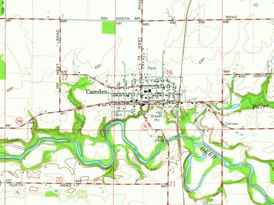
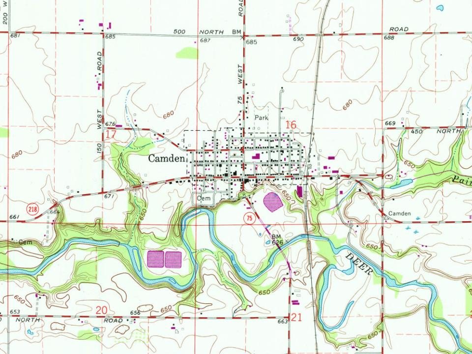
Camden’s post office opened in 1833, and 39% of its homes were built before 1940
Its Register listings are the Andrew Thomas House, the Camden Masonic Temple and the Camden First Baptist Church. Below: 1 old photo or paper, maps from 1899 on, and the census since 1850.
Fire insurance maps drew every building, what it was made of and what it was used for, so insurers could price the risk of fire. Pick a year, then a sheet.
1899Sheet 1 of 1
Edition
Sheets
BrickWoodStone
Sanborn Map Company, via the Library of Congress. Editions published in 1930 or earlier, which are in the public domain.
Passages that mention Camden, cut from the printed page as they were published.
The history of Camden county, New Jersey1886 · page 356Read the page →
Read the text
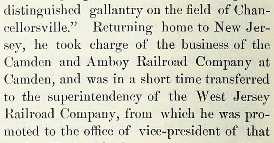
distinguished gallantry on the field of Chancellorsville.” Returning home to New Jersey, he took charge of the business of the Camden and Amboy Railroad Company at Camden, and was in a short time transferred to the superintendency of the West Jersey Railroad Company, from which he was promoted to the office of vice-president of that
Text read by machine from the scan; it may contain errors.
The history of Camden county, New Jersey1886 · page 358Read the page →
Read the text
On the 28th of July, 1854, the Camden and Pemberton Agricultural Railroad Company was chartered, with authority to build a railroad from some point in Camden through Camden and Burlington Counties to some point in the borough of Pemberton.
Text read by machine from the scan; it may contain errors.
Pioneer history of Camden, Oneida County, New York1897Read the page →
Read the text
The Oswego County History tells us “the road called Mexico street was cut or extended from Camden to Vera Cruz, passing through the present towns of Amboy, Parish and Mexico about 1804.” It was the main road from Rome to Mexico, running through what was later called Vienna, up to Phelps’ tavern, then turning to the left, running up over Preston Hill, coming out onto what is now a main road from Camden to Mexico, not far from the Deacon Osborn place. The Mexico street
Text read by machine from the scan; it may contain errors.
Scans and text from the Internet Archive. Books published in 1930 or earlier, which are in the public domain.
Timeline
Camden, 1833 to 1962
Woven from the archive, old maps, post office records, the National Register and the people born here.
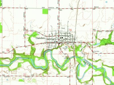
Founding dates: Wikidata, Wikipedia, the U.S. post office records of Blevins & Helbock (CC0) and the Census. Homes by year built: Census ACS 2020–24. National Register of Historic Places: National Park Service (list of May 22, 2026). Old photos, postcards and papers: Wikimedia Commons, the Library of Congress and other public archives, credited on each item’s page. Maps: U.S. Geological Survey historical topographic maps (via Esri) and Sanborn fire-insurance maps (Library of Congress). History text and census tables: Wikipedia (CC BY-SA 4.0). Places that used to be: USGS Geographic Names Information System (2021). How TownRatings grades history →
From Wikimedia Commons (2), the Library of Congress (1), Wikidata (1), the National Register of Historic Places (3), Wikipedia, Wikidata and Wikipedia for famous people, U.S. Geological Survey historical maps, U.S. Census counts (via Wikipedia), the US Post Offices dataset (Blevins & Helbock), the USGS Geographic Names Information System, Sanborn fire insurance maps (Library of Congress) and old county and town histories (Internet Archive). Archive images are copied here with their credits and licenses, shown on each photo’s page. Refreshed monthly.





 Date?
 2007
 2007