Fire insurance maps drew every building, what it was made of and what it was used for, so insurers could price the risk of fire. Pick a year, then a sheet.
1901Sheet 1 of 1
Edition
Sheets
BrickWoodStone
Sanborn Map Company, via the Library of Congress. Editions published in 1930 or earlier, which are in the public domain.
Passages that mention Bunker Hill, cut from the printed page as they were published.
History of Miami County, Indiana1914 · page 192Read the page →
Read the text
Leonda Shortly after the completion of the old Peru & Indianapolis Railroad the little town of Leonda, situated about a mile north of the present town of Bunker Hill, became one of the principal trading points south of the AVabash river. Leonda was projected before the railroad was finished, having been laid out by Harvey Hoover and Jacob Pottarff in ISol. The original plat showed seventy-two lots, with the railroad running directly through the center of the town. Not long after Leonda
Text read by machine from the scan; it may contain errors.
History of Miami County, Indiana1914 · page 182Read the page →
Read the text
Bunker Hill -Just south of Pipe Creek, in the southeast corner of Pipe Creek township, lies the town of Bunker Hill. It was platted 1851 liy Alexander Galbraith, James Myers and John Duckwall. The original plat included 46 lots and in June, 1852, Mr. Duckwall platted an addition of 24 lots. James Myers, one of the proprietors, built the first house in the town in 1851 and the second was probably the dwelling of Andrew Bache, which w-as built later in the same year. For a time the growth
Text read by machine from the scan; it may contain errors.
History of the siege of Boston, and of the battles of Lexington, Concord, and Bunker Hill. Also an account of the Bunker Hill Monument. With illustrative documents1849 · page 378Read the page →
Read the text
on this subject. He gives reminiscences of his own, and details he received from others ; and presents a fresh history of the battle. Pie states there was no general command exercised on the field ; that Colonel Prescott, seconded by a Colonel Brewer, was ordered to take possession of Bunker Hill ; that Prescott commanded at the redoubt, and Stark at the rail fence, between which " there was no preconcert or plan of cooperation." He stations Putnam, with intrenching tools slung across his horse, out of the action, on Bunker Hill, with Colonel Gerrish, and affirms that all the reinforce-
Text read by machine from the scan; it may contain errors.
History of the siege of Boston, and of the battles of Lexington, Concord, and Bunker Hill. Also an account of the Bunker Hill Monument. With illustrative documents1849Read the page →
Read the text
4 The order was explicit as to Bunker Hill, and the committee of safety account says, " by some mistake," Breed's Hill was marked out for the intrenchment. In Gray's letter, July 12, 1775, it is stated, " that the engineer and two generak went on to the hill at night, and reconnoitred the ground ; that one general and the engineer were of opinion we ought not to intrench on Charlestown Hill (Breed's Hill) till we had thrown up some works on the north and south ends of Bunker Hill, to cover our men in their retreat, if that should happen ; but on the pressing importunity of the other
Text read by machine from the scan; it may contain errors.
Scans and text from the Internet Archive. Books published in 1930 or earlier, which are in the public domain.
Timeline
Bunker Hill, 1851 to 1951
Woven from the archive, old maps, post office records, the National Register and the people born here.
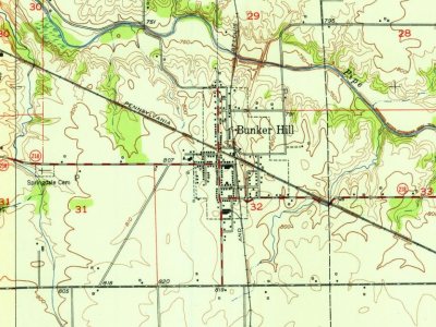
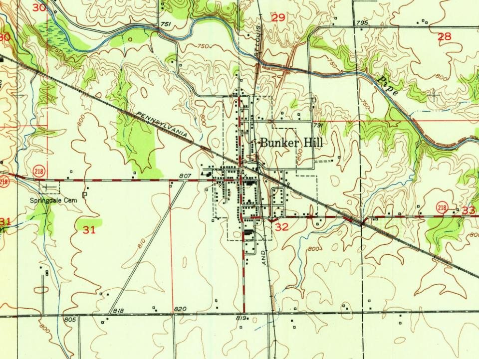
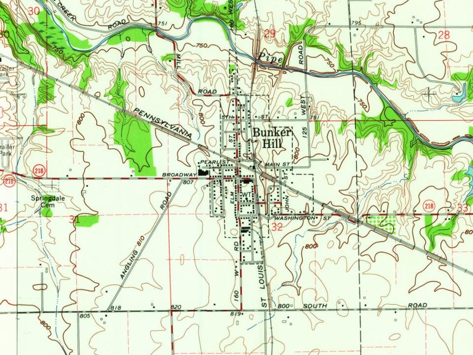
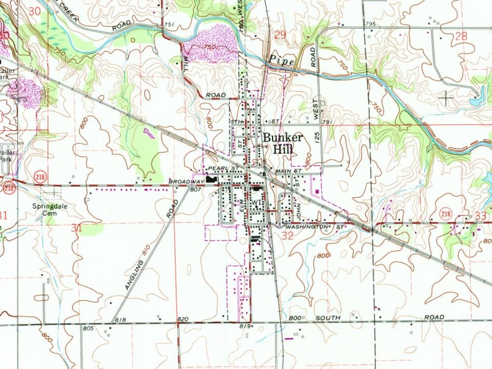
Every edition of the U.S. Geological Survey’s map of Bunker Hill. Tap a year, or press play to watch the town change.
1951Bunker Hill sheet · 1:24,000
U.S. Geological Survey historical topographic maps (public domain), via Esri’s collection of the scans. The red ring marks the center of Bunker Hill.
People over time
Bunker Hill, census by census
Between 528 and 1,049 people in every census since 1880.
15 censuses, 1880–2020.
U.S. Census Bureau decennial counts, from the census table on Bunker Hill’s Wikipedia page.
Questions about Bunker Hill’s history
What year was Bunker Hill founded?
In 1851, according to Wikidata and Wikipedia’s history of the town. Bunker Hill’s post office opened in 1860, and the census of 1880 counted 596 people here.
Founding dates: Wikidata, Wikipedia, the U.S. post office records of Blevins & Helbock (CC0) and the Census. Homes by year built: Census ACS 2020–24. National Register of Historic Places: National Park Service (list of May 22, 2026). Old photos, postcards and papers: Wikimedia Commons, the Library of Congress and other public archives, credited on each item’s page. Maps: U.S. Geological Survey historical topographic maps (via Esri) and Sanborn fire-insurance maps (Library of Congress). History text and census tables: Wikipedia (CC BY-SA 4.0). Places that used to be: USGS Geographic Names Information System (2021). How TownRatings grades history →
From Wikipedia, Wikidata and Wikipedia for famous people, U.S. Geological Survey historical maps, U.S. Census counts (via Wikipedia), the US Post Offices dataset (Blevins & Helbock), the USGS Geographic Names Information System, Sanborn fire insurance maps (Library of Congress) and old county and town histories (Internet Archive). Archive images are copied here with their credits and licenses, shown on each photo’s page. Refreshed monthly.