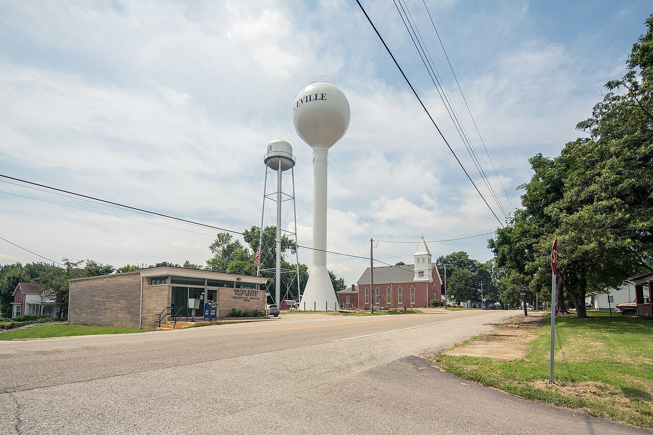
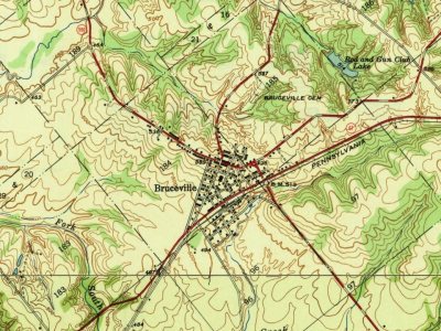
Bruceville was named for the Bruce family. William Bruce (1776–1853) settled here in 1805. Bruce led the local militia during Tecumseh's War in 1811. The streets of the town were laid out in 1829.
Abraham Lincoln visited Bruceville in October 1844 and gave a speech in support of Henry Clay.
Passages that mention Bruceville, cut from the printed page as they were published.
History of Old Vincennes and Knox County, Indiana1911 · page 158Read the page →
Read the text
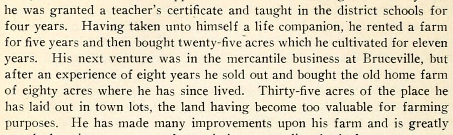
he was granted a teacher's certificate and taught in the district schools for four years. Having taken unto himself a life companion, he rented a farm for five years and then bought twenty-five acres which he cultivated for eleven years. His next venture was in the mercantile business at Bruceville, but after an experience of eight years he sold out and bought the old home farm of eighty acres where he has since lived. Thirty-five acres of the place he has laid out in town lots, the land having become too valuable for farming purposes. He has made many improvements upon his farm and is greatly
Text read by machine from the scan; it may contain errors.
History of Old Vincennes and Knox County, Indiana1911 · page 159Read the page →
Read the text
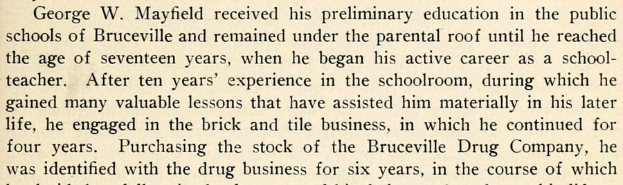
George W. Mayfield received his preliminary education in the public schools of Bruceville and remained under the parental roof until he reached the age of seventeen years, when he began his active career as a schoolteacher. After ten years' experience in the schoolroom, during which he gained many valuable lessons that have assisted him materially in his later life, he engaged in the brick and tile business, in which he continued for four years. Purchasing the stock of the Bruceville Drug Company, he was identified with the drug business for six years, in the course of which
Text read by machine from the scan; it may contain errors.
Scans and text from the Internet Archive. Books published in 1930 or earlier, which are in the public domain.
Timeline
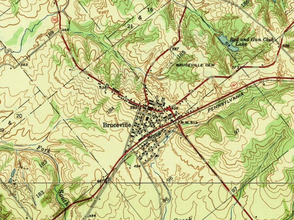
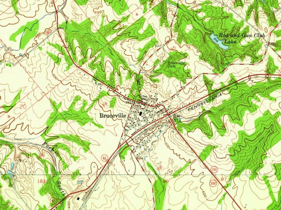
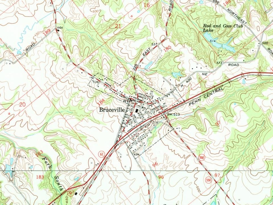
Bruceville, 1818 to 1980
Woven from the archive, old maps, post office records, the National Register and the people born here.
Founding dates: Wikidata, Wikipedia, the U.S. post office records of Blevins & Helbock (CC0) and the Census. Homes by year built: Census ACS 2020–24. National Register of Historic Places: National Park Service (list of May 22, 2026). Old photos, postcards and papers: Wikimedia Commons, the Library of Congress and other public archives, credited on each item’s page. Maps: U.S. Geological Survey historical topographic maps (via Esri) and Sanborn fire-insurance maps (Library of Congress). History text and census tables: Wikipedia (CC BY-SA 4.0). Places that used to be: USGS Geographic Names Information System (2021). How TownRatings grades history →
From Wikimedia Commons (1), Wikipedia, U.S. Geological Survey historical maps, U.S. Census counts (via Wikipedia), the US Post Offices dataset (Blevins & Helbock), the USGS Geographic Names Information System and old county and town histories (Internet Archive). Archive images are copied here with their credits and licenses, shown on each photo’s page. Refreshed monthly.
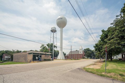 2016