Peaked at 521 in 1910; 317 people lived here in 2020.
15 censuses, 1880–2020.
U.S. Census Bureau decennial counts, from the census table on Amboy’s Wikipedia page.
From the old history books
What they wrote about Amboy, 1856–1914
Passages that mention Amboy, cut from the printed page as they were published.
History of Miami County, Indiana1914 · page 180Read the page →
Read the text
Lamb and Abi.jah Ridgeway laid out the tonii of Amboy on section 23, four miles west of Converse, as a station on the new railroad. About the time the town was laid out, Elisha Clark established a large steam sawmill there and a little later the firm of Lowder & Smith put up a second savraiill. Both these mills did a good business while the timber lasted, and large quantities of lumber were sliipped from Amboy during the early years of its existence. About the mills a village soon grew up and other lines of business were introduced. The first merchant was Ben-
Text read by machine from the scan; it may contain errors.
Contributions to the early history of Perth Amboy and adjoining country1856 · page 56Read the page →
Read the text
or more comformable to their situation, after the changes of half a century. The title of the act was “ an act for erecting the north ward9 of Perth Amboy and a part of the township of Woodbridge, in the county of Middlesex, into a city, and for incorporating the same, by the name and title of the city of Perth Amboy.” The author of the bill must have been a warm friend to the young city, judging from the preamble, which was as follows.
Text read by machine from the scan; it may contain errors.
Contributions to the early history of Perth Amboy and adjoining country1856Read the page →
Read the text
or more comformable to their situation, after the changes of half a century. The title of the act was 11 an act for erecting the north ward9 of Perth Amboy and a part of the township of Woodbridge, in the county of Middlesex, into a city, and for incorporating the same, by the name and title of .the city of Perth Amboy.” The author of the bill must have been a warm friend to the young city, judging from the preamble, which was as follows.
Text read by machine from the scan; it may contain errors.
Scans and text from the Internet Archive. Books published in 1930 or earlier, which are in the public domain.
Timeline
Amboy, 1867 to 1962
Woven from the archive, old maps, post office records, the National Register and the people born here.
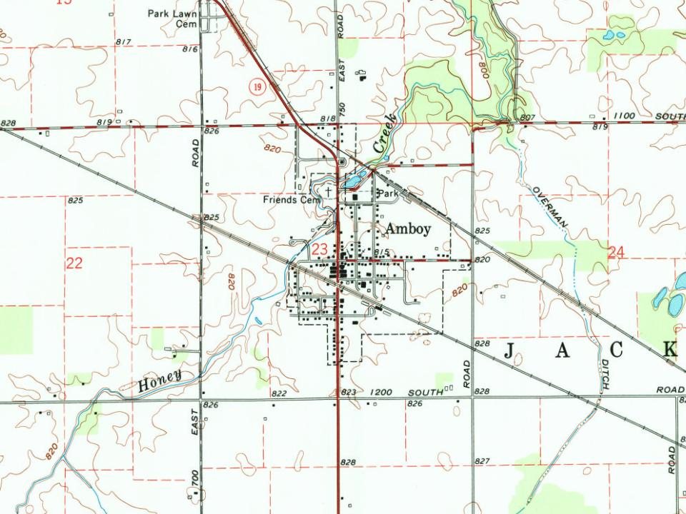
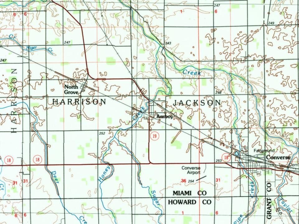
Founding dates: Wikidata, Wikipedia, the U.S. post office records of Blevins & Helbock (CC0) and the Census. Homes by year built: Census ACS 2020–24. National Register of Historic Places: National Park Service (list of May 22, 2026). Old photos, postcards and papers: Wikimedia Commons, the Library of Congress and other public archives, credited on each item’s page. Maps: U.S. Geological Survey historical topographic maps (via Esri) and Sanborn fire-insurance maps (Library of Congress). History text and census tables: Wikipedia (CC BY-SA 4.0). Places that used to be: USGS Geographic Names Information System (2021). How TownRatings grades history →
From Wikipedia, Wikidata and Wikipedia for famous people, U.S. Geological Survey historical maps, U.S. Census counts (via Wikipedia), the US Post Offices dataset (Blevins & Helbock), the USGS Geographic Names Information System and old county and town histories (Internet Archive). Archive images are copied here with their credits and licenses, shown on each photo’s page. Refreshed monthly.